Near Spring Garden in Cherokee County, Alabama — The American South (East South Central)
Spring Garden School
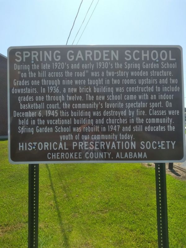
Photographed by Angela Nichols
1. Spring Garden School Marker
Erected 2022 by Historical Preservation Society of Cherokee County Alabama.
Topics. This historical marker is listed in this topic list: Education. A significant historical date for this entry is December 6, 1945.
Location. 33° 59.109′ N, 85° 32.602′ W. Marker is near Spring Garden, Alabama, in Cherokee County. It is at the intersection of County Road 29 and County Road 8, on the right when traveling north on County Road 29. Touch for map. Marker is at or near this postal address: 2430 County Rd 29, Piedmont AL 36272, United
this page online

Regionally, this marker is in East Alabama and specifically in North Alabama. It is also in the American South, specifically in the Deep South, in Appalachia, and specifically in Southern Appalachia. Globally, it is in North America, a Gulf of Mexico state, the Western Hemisphere, the Western World, and the Anglosphere. Historically, it finds itself in what was once the original Cherokee Nation, the territory of the Mississippian Culture, one of the Confederate States of America, and the Antebellum South.
Other nearby markers. At least 8 other markers are within 6 miles of this marker, measured as the crow flies: Spring Garden (approx. one mile away); Carmel Presbyterian Church (approx. 2.4 miles away); Ladiga Cavalry Skirmish (approx. 2.6 miles away); Rock Run Furnace (approx. 4.1 miles away); Cherokee County's Paul Revere (approx. 4.2 miles away); Dugger Mountain (approx. 5.3 miles away); The Alabama Tennessee River Railroad (approx. 5.7 miles away); Cross Plains / Piedmont (approx. 5.7 miles away). Touch for a list and map of all markers in Spring Garden.
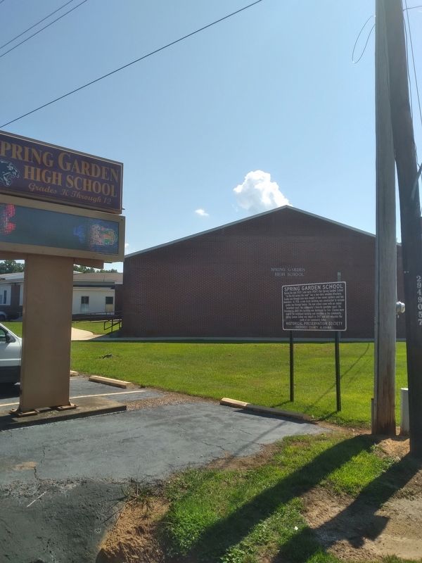
Photographed by Angela Nichols
2. Spring Garden School Marker
Credits. This page was last revised on December 6, 2023. It was originally submitted on July 14, 2022, by Angela Nichols of Centre, Alabama. This page has been viewed 989 times since then and 72 times this year. Photos: 1, 2. submitted on July 15, 2022, by Angela Nichols of Centre, Alabama. • Bernard Fisher was the editor who published this page.
