Agate in Sioux County, Nebraska — The American Midwest (Upper Plains)
Exploring the Niobrara
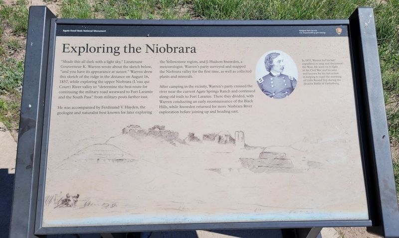
He was accompanied by Ferdinand V. Hayden, the geologist and naturalist best known for later exploring the Yellowstone region, and J. Hudson Snowden, a meteorologist. Warren's party surveyed and mapped the Niobrara valley for the first time, as well as collected plants and minerals.. After camping in the vicinity, Warren's party crossed the river near the current Agate Springs Ranch and continued along old trails to Fort Laramie. There they divided, with Warren conducting an early reconnaissance of the Black Hills, while Snowden returned for more Niobrara River exploration before joining up and heading east.
Caption
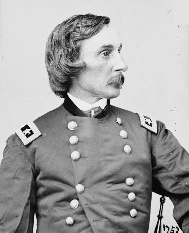
Upper Right: In 1857, Warren led his last" expedition to map and document the West. He went on to fight in the Civil War and became well known for his fast action in helping to repel the storming of Little Round Top during the decisive Battle of Gettysburg.
Erected by Agate Fossil Beds National Monument, National Park Service.
Topics. This historical marker is listed in these topic lists: Exploration • Roads & Vehicles. A significant historical date for this entry is August 16, 1857.
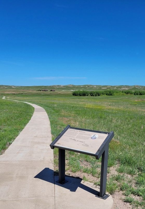
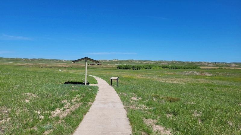
Location. 42° 25.351′ N, 103° 43.571′ W. Marker is in Agate, Nebraska, in Sioux County. Marker can be reached from River Road, 3.2 miles east of State Highway 29. The marker is located along the 2 mile Fossil Hill loop trail. Touch for map. Marker is at or near this postal address: 301 River Road, Harrison NE 69346, United States of America. Touch for directions.
Other nearby markers. At least 8 other markers are within walking distance of this marker. Quarry A (approx. 0.3 miles away); An Ancient Waterhole (approx. 0.4 miles away); Footprints in the Mud (approx. 0.4 miles away); Fossil Hills Trail (approx. 0.4 miles away); The Gift of Friendship (approx. half a mile away); Historic Excavations (approx. half a mile away); Chalicotheres (approx. half a mile away); Menoceras (approx. half a mile away). Touch for a list and map of all markers in Agate.
More about this marker. The Agate Fossil Beds National Monument is a fee-free National Park Service site.
Also see . . .
1. History & Culture. Agate Fossil Beds National Monument (Submitted on July 15, 2022, by James Hulse of Medina, Texas.)
2. Gouverneur K. Warren. Wikipedia (Submitted on July 15, 2022, by James Hulse of Medina, Texas.)
Credits. This page was last revised on July 15, 2022. It was originally submitted on July 15, 2022, by James Hulse of Medina, Texas. This page has been viewed 130 times since then and 8 times this year. Photos: 1, 2, 3, 4. submitted on July 15, 2022, by James Hulse of Medina, Texas.


