Near San Augustine in San Augustine County, Texas — The American South (West South Central)
Location of the First Presbyterian Church in Texas
Photographed by Chance Moore, July 14, 2022
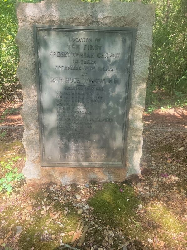
1. Location of the First Presbyterian Church in Texas Marker
Location of the First Presbyterian Church in Texas
Organized June 2 1838 by Rev. Hugh Wilson, D.D.
Charter Members
Mr. and Mrs. J. Sharp · Mr. and Mrs. J.D. Sharp · Mr. and Mrs. R.H. Hibbits · Mrs. E. Erwing · Mrs. M. McEiver · Mrs. P. Nicholson · Mrs. E. Dunham · Mr. and Mrs. H.G. Alexander · Mr. J. Alexander · Mr. E. Alexander · Mrs. C. B. Dart · Mrs. A. E. Stodart · Mrs. A. McKnight · Mr. and Mrs. J. Polk · Miss A. Polk · Jack and Hannah (Colored)
This memorial erected by Synod of Texas, 1936
Erected 1936 by Presbyterian Synod of Texas.
Topics. This historical marker is listed in this topic list: Religion & Religious Structures. A significant historical date for this entry is June 2, 1838.
Location. 31° 31.2′ N, 94° 10.063′ W. Marker is near San Augustine, Texas, in San Augustine County. It is on Highway 85 0.1 miles north of Farm to Market Road 1277, on the left when traveling north. Touch for map. Marker is in this post office area: San Augustine TX 75972, United States of America. Touch for directions.

Regionally, this marker is in the American South, specifically in the Deep South,
this page online
Other nearby markers. At least 8 other markers are within 4 miles of this marker, measured as the crow flies: Kings Highway Camino Real — Old San Antonio Road (approx. 1.6 miles away); Space Shuttle Columbia Memorial (approx. 3 miles away); San Augustine (approx. 3.1 miles away); a different marker also named Kings Highway Camino Real — Old San Antonio Road (approx. 3.1 miles away); Site of Mission Nuestra Señora de Los Dolores de Los Ais (approx. 3.1 miles away); Early Texas Sawmill (approx. 3.1 miles away); Lewis Hotel (approx. 3.2 miles away); Jerusalem Memorial Christian Methodist Episcopal Church (approx. 3.4 miles away). Touch for a list and map of all markers in San Augustine.
Photographed by Chance Moore, July 14, 2022
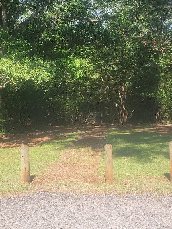
2. Location of the First Presbyterian Church in Texas Marker
Photographed by Chance Moore, July 14, 2022
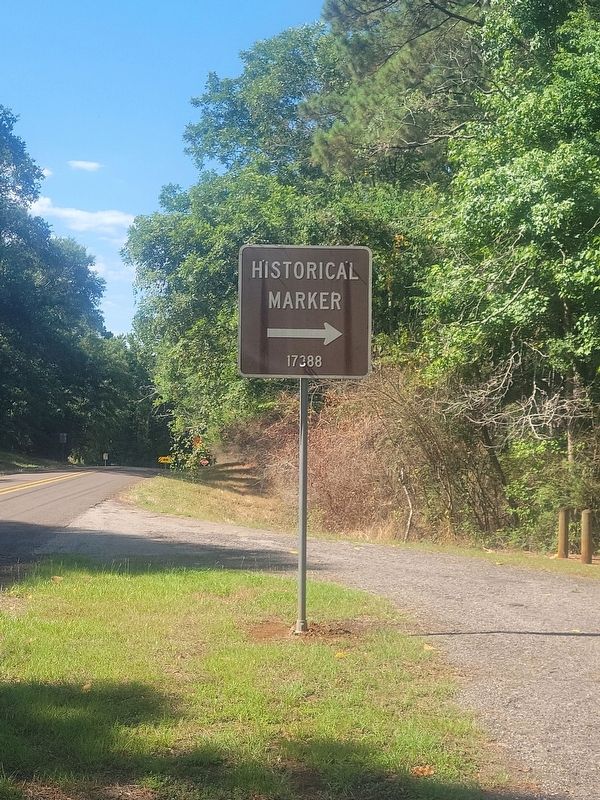
3. Sign for the First Presbyterian Church in Texas Marker
Credits. This page was last revised on July 15, 2022. It was originally submitted on July 15, 2022, by Chance Moore of Cushing, Texas. This page has been viewed 453 times since then and 17 times this year. Photos: 1, 2, 3. submitted on July 15, 2022, by Chance Moore of Cushing, Texas. • J. Makali Bruton was the editor who published this page.
