Boston in Summit County, Ohio — The American Midwest (Great Lakes)
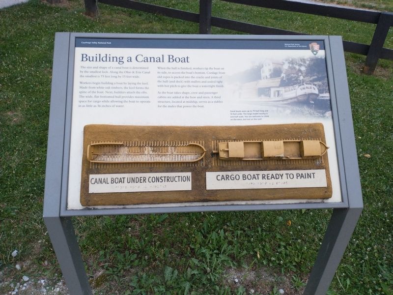
Building a Canal Boat
The size and shape of a canal boat is determined by the smallest lock. Along the Ohio & Erie Canal the smallest is 75 feet long by 15 feet wide.
Workers begin building a boat by laying the keel. Made from white oak timbers, the keel forms the spine of the boat. Next, builders attached the ribs. The wide, flat-bottomed hull provides maximum space for cargo while allowing the boat to operate in as little as 36 inches of water.
When the hull is finished, workers tip the boat on its side, to access the boat’s bottom. Cordage from old ropes is packed into the cracks and joints of the hull (and deck) will mallets and sealed tight with hot pitch to give the boat a watertight finish.
As the boat takes shape, crew and passenger cabins are added at the bow and stern. A third structure, located at midship, serves as a stables for the mules that power the boat.
[Caption:]
Canal boats were up to 75 feet long and14 feet wide. The large model nearby is one-half scale. You are welcome to climbs on the stern, but not on the roof.
Erected by National Park Service, U.S. Department of the Interior.
Topics and series. This historical marker is listed in these topic lists: Industry & Commerce • Waterways & Vessels. In addition, it is included in the Ohio and Erie Canal series list.
Location. 41° 15.812′ N, 81° 33.516′ W. Marker is in Boston, Ohio, in Summit County. Marker is at the intersection of Boston Mills Road and Ohio & Erie Canal Towpath Trail, on the left when traveling east on Boston Mills Road. Touch for map. Marker is at or near this postal address: 1559 Boston Mills Rd, Peninsula OH 44264, United States of America. Touch for directions.
Other nearby markers. At least 8 other markers are within walking distance of this marker. Fortunes Rise and Fall (here, next to this marker); Bustling Boat-Building Village (here, next to this marker); Early 1900s Boston (a few steps from this marker); Ohio & Erie Canalway (within shouting distance of this marker); Welcome to the Cuyahoga Valley National Park (within shouting distance of this marker); Welcome to Cuyahoga Valley National Park (about 400 feet away, measured in a direct line); A River Renewed (about 500 feet away); Boston Mills Road Bridge (about 600 feet away). Touch for a list and map of all markers in Boston.
Credits. This page was last revised on July 18, 2022. It was originally submitted on July 16, 2022, by Tom Bosse of Jefferson City, Tennessee. This page has been viewed 83 times since then and 9 times this year. Photos: 1, 2. submitted on July 16, 2022, by Tom Bosse of Jefferson City, Tennessee. • Devry Becker Jones was the editor who published this page.

