Quintana in Brazoria County, Texas — The American South (West South Central)
Quintana Cemetery
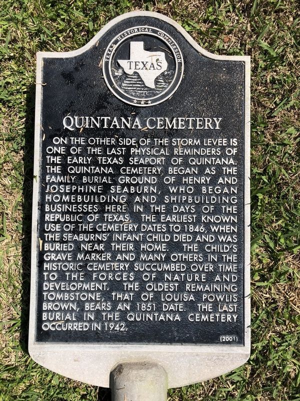
On the other side of the storm levee is one of the last physical reminders of the early Texas seaport of Quintana. The Quintana Cemetery began as the family burial ground of Henry and Josephine Seaburn, who began homebuilding and shipbuilding businesses here in the days of the Republic of Texas. The earliest known use of the cemetery dates to 1846, when the Seaburns' infant child died and was buried near their home. The child's grave marker and many others in the historic cemetery succumbed over time to the forces of nature and development. The oldest remaining tombstone, that of Louisa Powlis Brown, bears an 1851 date. The last burial in the Quintana Cemetery occurred in 1942.
Erected 2001 by Texas Historical Commission. (Marker Number 12555.)
Topics. This historical marker is listed in this topic list: Settlements & Settlers. A significant historical year for this entry is 1846.
Location. 28° 56.045′ N, 95° 18.56′ W. Marker is in Quintana, Texas, in Brazoria County. Marker can be reached from the intersection of 8th Street and Lamar Street, on the right when traveling north. Touch for map. Marker is at or near this postal address: 400 Holley Street, Freeport TX 77541, United States of America. Touch for directions.
Other nearby markers. At least 8 other markers are within walking distance of this marker. Old Quintana (about 500 feet away, measured in a direct line); Allen Place, 1883 (approx. 0.2 miles away); First Republic of Texas Navy: 1835-1837 (approx. ¾ mile away); Brown-Hoskins Hotel and Tavern (approx. ¾ mile away); Confederate Civil War Forts at Mouth of Brazos (approx. ¾ mile away); Republic of Texas Battery (approx. ¾ mile away); Santa Anna signed Treaties of Velasco (approx. ¾ mile away); The San Felipe Incident (approx. 0.8 miles away). Touch for a list and map of all markers in Quintana.
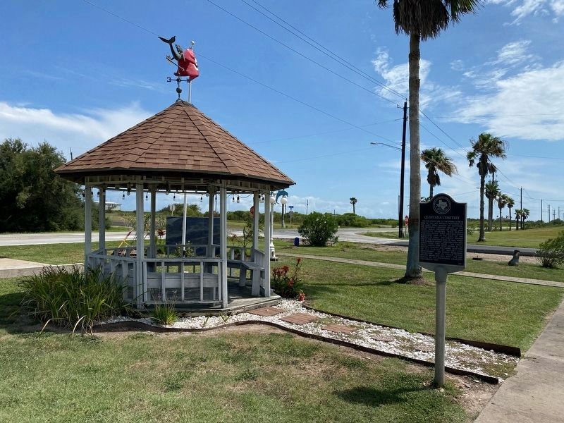
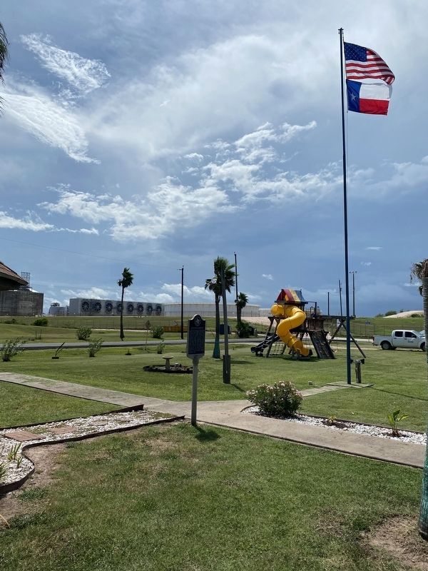
More about this marker. The marker was located on the grounds of the Quintana City Hall, very near the west corner of the City Hall building, but was being re-located (due to minor construction and remodeling of the building) elsewhere in the same block when observed on March 26, 2021. It has since been erected again at a slightly different spot on the same grounds.
Also see . . . The Quintana Cemetery at findagrave.com. (Submitted on March 27, 2021.)
Credits. This page was last revised on July 18, 2022. It was originally submitted on March 26, 2021, by Chris Kneupper of Brazoria, Texas. This page has been viewed 257 times since then and 44 times this year. Last updated on July 17, 2022, by Chris Kneupper of Brazoria, Texas. Photos: 1. submitted on March 26, 2021, by Chris Kneupper of Brazoria, Texas. 2, 3. submitted on July 17, 2022, by Chris Kneupper of Brazoria, Texas. • J. Makali Bruton was the editor who published this page.


