Taber in Taber District, Alberta — Canada’s Prairie Region (North America)
From Tank 77 to Taber Today
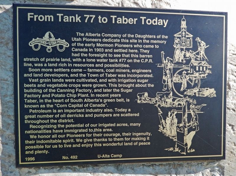
The Alberta Company of the Daughters of the Utah Pioneers dedicate this site in the memory of the early Mormon Pioneers who came to Canada in 1903 and settled here. They had the foresight to see that this barren stretch of prairie land, with a lone water tank #77 on the C.P.R. line, was a land rich in resources and possibilities.
Soon more settlers came — farmers, coal miners, engineers and land developers, and the Town of Taber was incorporated.
Vast grain lands were cultivated, and with irrigation sugar beets and vegetable crops were grown. This brought about the building of the Canning Factory, and later the Sugar Factory and Potato Chip Plant. In recent years Taber, in the heart of South Alberta's green belt, is known as the "Corn Capital of Canada".
Petroleum is an important industry also. Today a great number of oil derricks and pumpers are scattered throughout the district.
Recognizing the potential of our irrigated acres, many nationalities have immigrated to this area.
We honor all our Pioneers for their courage, their ingenuity, their indomitable spirit. We give thanks to them for making it possible for us to live and enjoy this wonderful land of peace and plenty.
Erected 1996 by Alberta Company, Daughters of the Utah Pioneers, U-Alta Camp . (Marker Number 492.)
Topics and series. This historical marker is listed in these topic lists: Agriculture • Industry & Commerce • Railroads & Streetcars • Settlements & Settlers. In addition, it is included in the Daughters of Utah Pioneers series list. A significant historical year for this entry is 1903.
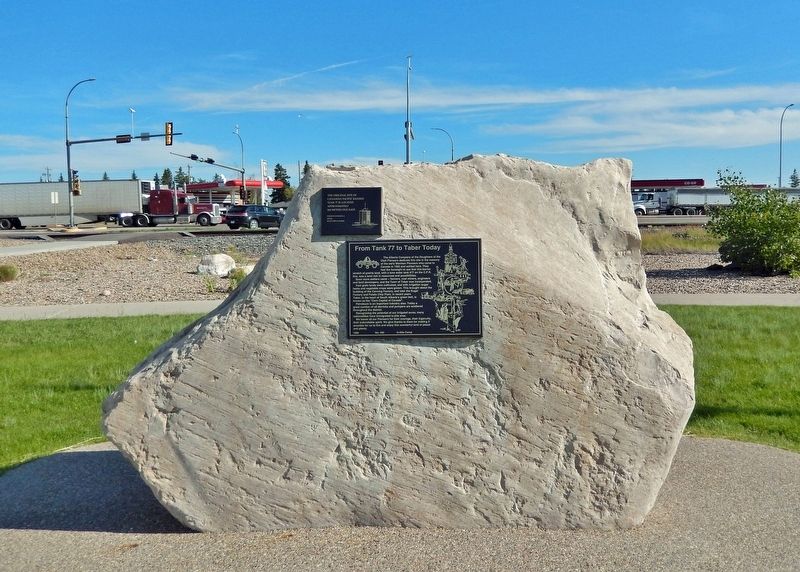
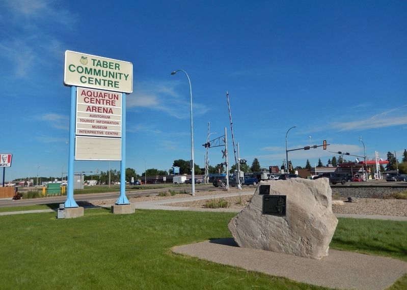
Location. 49° 46.944′ N, 112° 9.004′ W. Marker is in Taber, Alberta, in Taber District. Marker is on 50 Street just north of Veterans Memorial Highway (Provincial Highway 3/36), on the left when traveling north. Marker is located near the southeast corner of the Tabor Community Center and Ice Arena Complex. Touch for map. Marker is at or near this postal address: 4700 50 Street, Taber AB T1G 2B6, Canada. Touch for directions.
Also see . . .
1. Taber Settlement.
Taber was settled by Mormons in the first decade of the 20th century. The name is said to come from the first part of the word “tabernacle.” However, the first post office (1904) was called “Tabor,” presumably after Mount Tabor, Palestine. At first, Taber's economy depended on beef cattle and wheat. However, with the development of irrigation, the cultivation of sugar beets became important. A sugar beet processing plant opened in 1950 and continues to operate today.(Submitted on July 18, 2022, by Cosmos Mariner of Cape Canaveral, Florida.)
2. Taber, Alberta.
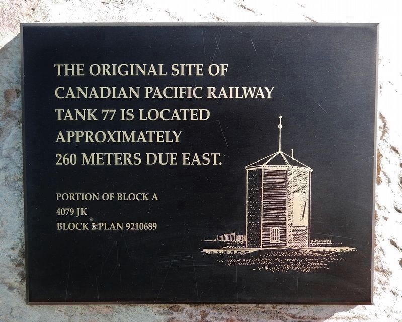
Originally, Taber was known as "Tank No. 77," and was used by the railway to fill up on water. In 1903, it is said that the first Mormon settlers from the U.S. were the ones to establish a hamlet at the Tank. After the town's post office was built in 1907, the CPR decided to call the town "Tabor," probably after Mount Tabor in the Holy Land. However, various letters and station heads came out printed "Taber," so the CPR changed the name to make it match the records.(Submitted on July 18, 2022, by Cosmos Mariner of Cape Canaveral, Florida.)
Credits. This page was last revised on July 18, 2022. It was originally submitted on July 18, 2022, by Cosmos Mariner of Cape Canaveral, Florida. This page has been viewed 371 times since then and 61 times this year. Photos: 1, 2, 3, 4. submitted on July 18, 2022, by Cosmos Mariner of Cape Canaveral, Florida.


