Woodside in San Mateo County, California — The American West (Pacific Coastal)
Independence Hall
Photographed by Joseph Alvarado, July 17, 2022
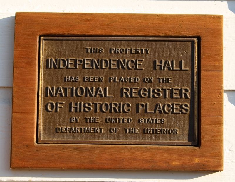
1. Independence Hall Marker
This property, Independence Hall, as been placed on the National Register of Historic Places by the United Stated Department of the Interior.
Topics. This historical marker is listed in these topic lists: Architecture • Government & Politics.
Location. 37° 25.687′ N, 122° 15.045′ W. Marker is in Woodside, California, in San Mateo County. It can be reached from Woodside Road. Touch for map. Marker is at or near this postal address: 120-242 Whiskey Hill Road, Redwood City CA 94062, United States of America. Touch for directions.

Regionally, this marker is in the San Francisco Bay Area, in Silicon Valley, and on the Coast Ranges. It is also on the American Pacific Coast. Globally, it is in North America, on the Ring of Fire, on the Pacific Rim, in the Western Hemisphere, in the Western World, and in the Anglosphere. Historically, it finds itself in what was once New Spain and also Mexico’s Alta California.
Other nearby markers. At least 8 other markers are within 4 miles of this marker, measured as the crow flies: Pioneer Hotel (about 300 feet away, measured
this page online
Photographed by Joseph Alvarado, July 17, 2022
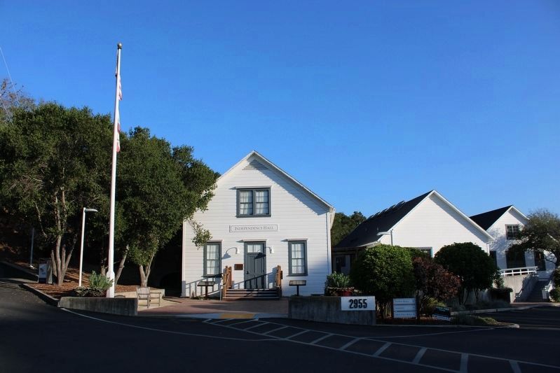
2. Independence Hall Marker
Marker is visable to the left of the entrance door.
Photographed by Joseph Alvarado, July 17, 2022
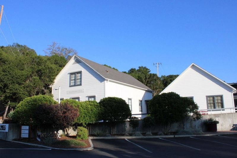
3. Independence Hall

Photographed by Joseph Alvarado, July 17, 2022
4. Dedication Plaque - Woodside Town Hall

Photographed by Joseph Alvarado, July 17, 2022
5. Hitching Post Across from the Hall
The Mounted Patrol of San Mateo County, 1942-1992
Credits. This page was last revised on January 9, 2025. It was originally submitted on July 20, 2022, by Joseph Alvarado of Livermore, California. This page has been viewed 348 times since then and 30 times this year. Photos: 1, 2, 3, 4, 5. submitted on July 20, 2022, by Joseph Alvarado of Livermore, California. • Syd Whittle was the editor who published this page.
