Jefferson in Greene County, Pennsylvania — The American Northeast (Mid-Atlantic)
John Rex Farm
Photographed by Bradley Owen, July 13, 2022
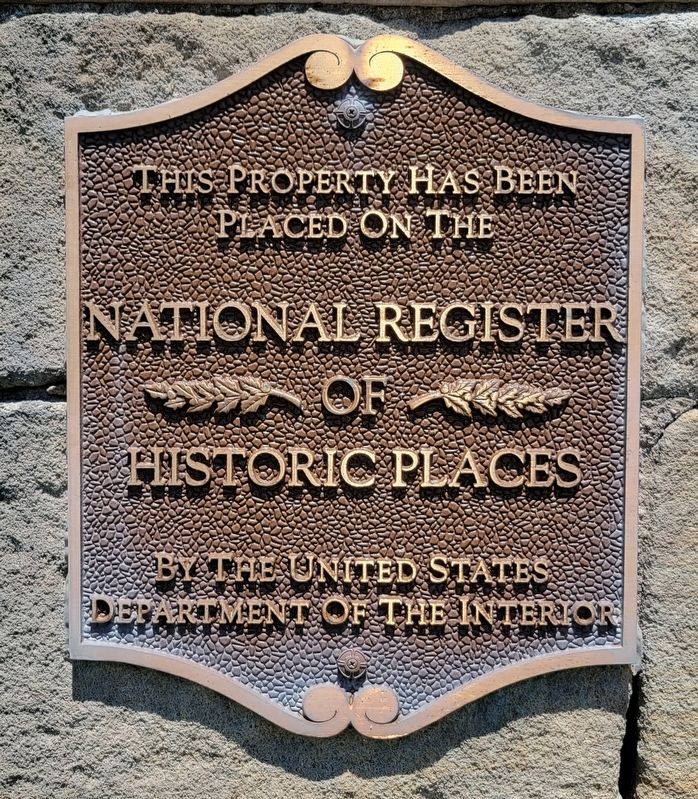
1. John Rex Farm Marker
placed on the
National Register
of
Historic Places
by the United States
Department of the Interior
Topics and series. This historical marker is listed in this topic list: Architecture. In addition, it is included in the National Register of Historic Places (NRHP) series list.
Location. 39° 56.227′ N, 80° 2.93′ W. Marker is in Jefferson, Pennsylvania, in Greene County. It is on Jefferson Road (Pennsylvania Route 188) east of Elm Street, on the left when traveling east. Touch for map. Marker is at or near this postal address: 1565 Jefferson Road, Jefferson PA 15344, United States of America. Touch for directions.

Regionally, this marker is in the American Northeast, in the Mid-Atlantic, in Appalachia, and specifically in Northern Appalachia. Globally, it is in North America, the Western Hemisphere, the Western World, and the Anglosphere. Historically, it finds itself in what was once the Haudenosaunee (Iroquois) Confederacy and also one of the original Thirteen Colonies.
Other nearby markers. At least 8 other markers are within
this page online
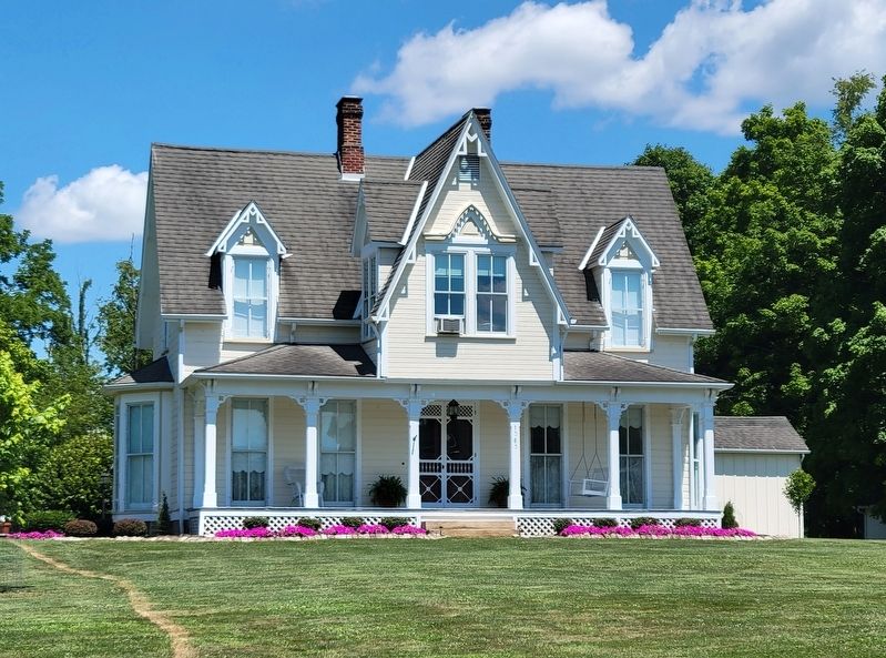
Regarding John Rex Farm. The main house was built about 1874 and added to the National Register of Historic Places on May 8, 1998, Reference Number 98000443. Also on the 71-acre property are the contributing summer kitchen (c. 1865), barn (c. 1870), carriage house (c. 1870), smokehouse (c. 1870) and a wrought iron fence (c. 1910).
Photographed by Bradley Owen, July 13, 2022
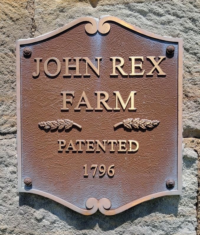
2. John Rex Farm - Patented 1796
Photographed by Bradley Owen, July 13, 2022
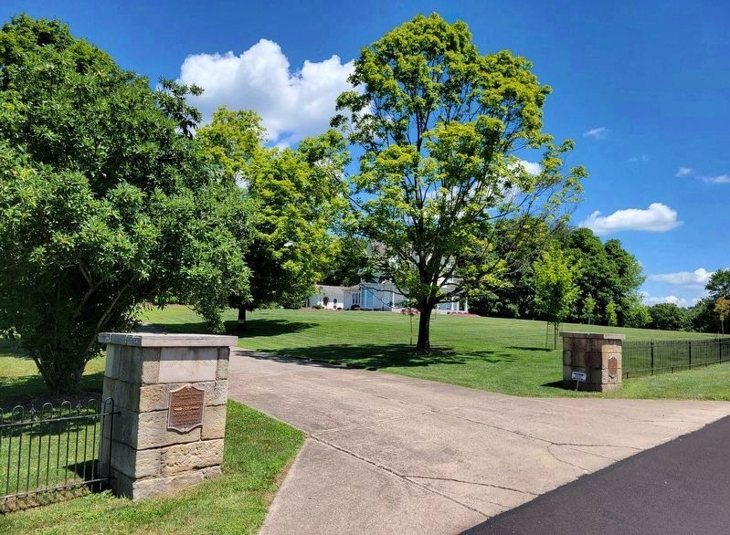
3. NRHP Marker on the Left Pillar and the
John Rex Farm Marker on the Right
John Rex Farm Marker on the Right
Photographed by Bradley Owen, July 13, 2022
4. John Rex Farmhouse
Credits. This page was last revised on July 27, 2022. It was originally submitted on July 24, 2022, by Bradley Owen of Morgantown, West Virginia. This page has been viewed 570 times since then and 62 times this year. Photos: 1, 2, 3, 4. submitted on July 24, 2022, by Bradley Owen of Morgantown, West Virginia. • Bill Pfingsten was the editor who published this page.
