Southside in Toledo in Lucas County, Ohio — The American Midwest (Great Lakes)
Erie and Kalamazoo Railroad
⎯⎯⎯
Toledo As A Rail Center
Photographed by Craig Doda, January 30, 2022
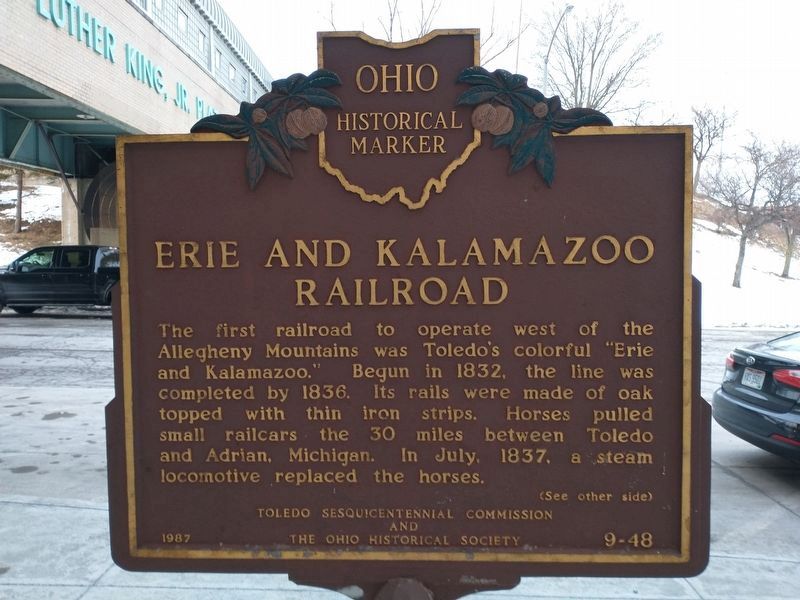
1. Erie and Kalamazoo Railroad Marker
Erie and Kalamazoo Railroad. The first railroad to operate west of the Allegheny Mountains was Toledo's colorful "Erie and Kalamazoo." Begun in 1832, the line was completed by 1836. Its rails were made of oak topped with thin iron strips. Horses pulled small railcars the 30 miles between Toledo and Adrian, Michigan. In July, 1837, a steam locomotive replaced the horses.
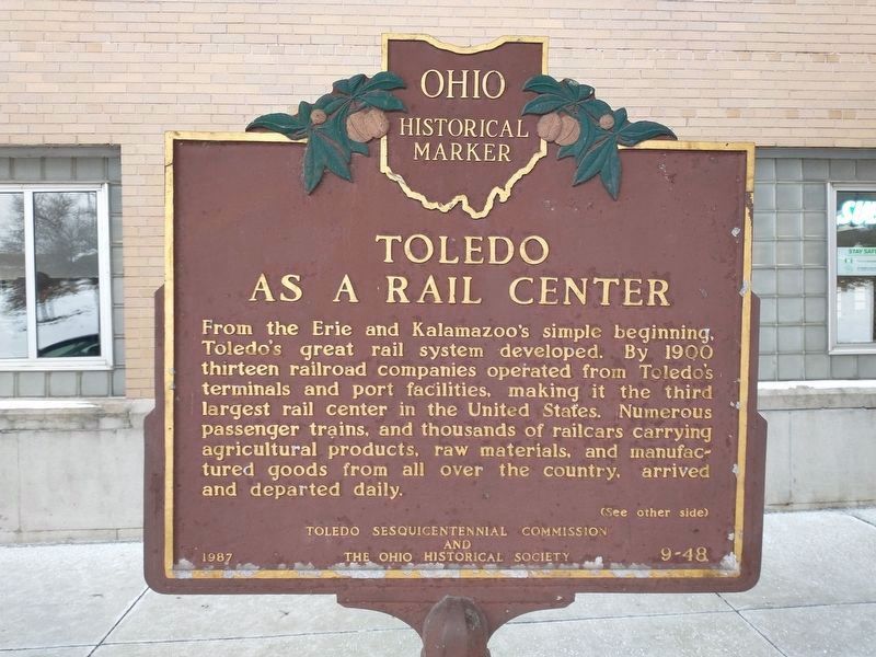
Toledo as a Rail Center. From the Erie and Kalamazoo's simple beginning, Toledo's great rail system developed. By 1900 thirteen railroad companies operated from Toledo's terminal and port facilities, making it the third largest rail center in the United States. Numerous passenger trains, and thousands of railcars carrying agricultural products, raw materials, and manufactured goods from all over the country, arrived and departed daily.
Erected 1987 by Toledo Sesquicentennial Commission and The Ohio Historical Society. (Marker Number 9-48.)
Topics and series. This historical marker is listed in this topic list: Railroads & Streetcars. In addition, it is included in the Erie & Kalamazoo Railroad, and the Ohio Historical Society / The Ohio History Connection
this page online
Location. 41° 38.302′ N, 83° 32.491′ W. Marker is in Toledo, Ohio, in Lucas County. It is in Southside. It is on Emerald Street 0.1 miles east of Wade Street, on the right when traveling east. The marker is located at the entrance of the Central-Union Plaza on Emerald Street. Touch for map. Marker is in this post office area: Toledo OH 43609, United States of America. Touch for directions.

Regionally, this marker is on Ohio’s Lake Erie Shore. It is also in the American Midwest and in the Corn Belt. Globally, it is in North America, on the Great Lakes, in the Western Hemisphere, in the Western World, and in the Anglosphere. Historically, it finds itself in what was once the Viceroyalty of New France, the Haudenosaunee (Iroquois) Confederacy, the territory of the Mississippian Culture, and the Northwest Territory.
Other nearby markers. At least 8 other markers are within walking distance of this marker: The Toledo Rotary: Service Above Self / Local and Global Actions (approx. 0.3 miles away); Ohio-Michigan War: A War Without Casualties / Canal Boom (approx.
Photographed by Craig Doda, January 30, 2022
2. Erie and Kalamazoo Railroad / Toledo as a Rail Center Marker
Related markers. Click here for a list of markers that are related to this marker. To better understand the relationship, study each marker in the order shown.
Photographed by Lou Donkle, July 12, 2022
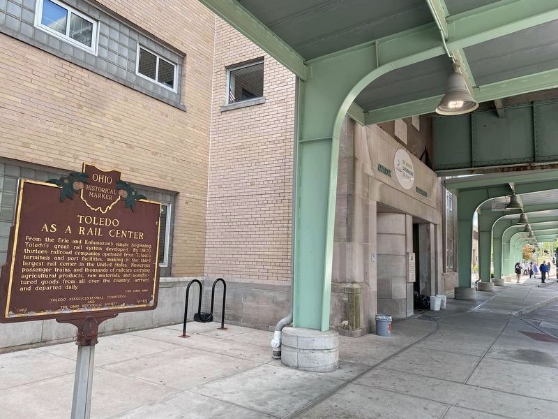
3. Erie and Kalamazoo Railroad / Toledo As A Rail Marker
This view shows the marker's location under the roof structure by the plaza entrance.
Photographed by Lou Donkle, July 12, 2022
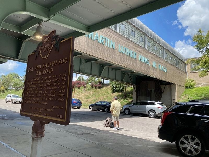
4. Erie and Kalamazoo Railroad / Toledo As A Rail Center Marker
This view shows the marker's location under the roof structure by the pedestrian overpass.
Photographed by Dale K. Benington, February 15, 2010
5. Erie and Kalamazoo Railroad Marker
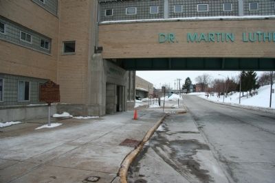
View looking west down Emerald Street with the historical marker located on the left, near the entrance to the Central-Union Plaza.
Photographed by Dale K. Benington, February 15, 2010
6. Erie and Kalamazoo Railroad Marker
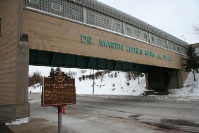
View looking northwest of the historical marker with the overhead covered walkway leading to the Central-Union Plaza in the background.
Photographed by Craig Doda, January 30, 2022
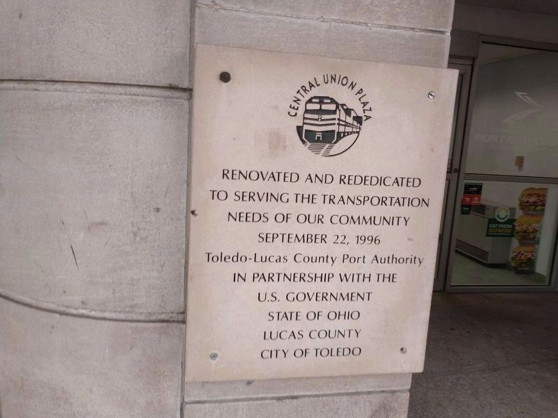
7. Dedication plaque nearby
Credits. This page was last revised on February 4, 2023. It was originally submitted on February 19, 2010, by Dale K. Benington of Toledo, Ohio. This page has been viewed 1,725 times since then and 85 times this year. Last updated on July 25, 2022, by Lou Donkle of Valparaiso, Indiana. Photos: 1, 2. submitted on January 30, 2022, by Craig Doda of Napoleon, Ohio. 3, 4. submitted on July 25, 2022, by Lou Donkle of Valparaiso, Indiana. 5, 6. submitted on February 19, 2010, by Dale K. Benington of Toledo, Ohio. 7. submitted on January 30, 2022, by Craig Doda of Napoleon, Ohio. • J. Makali Bruton was the editor who published this page.
