Charlottetown in Queens County, Prince Edward Island — The Atlantic Provinces (North America)
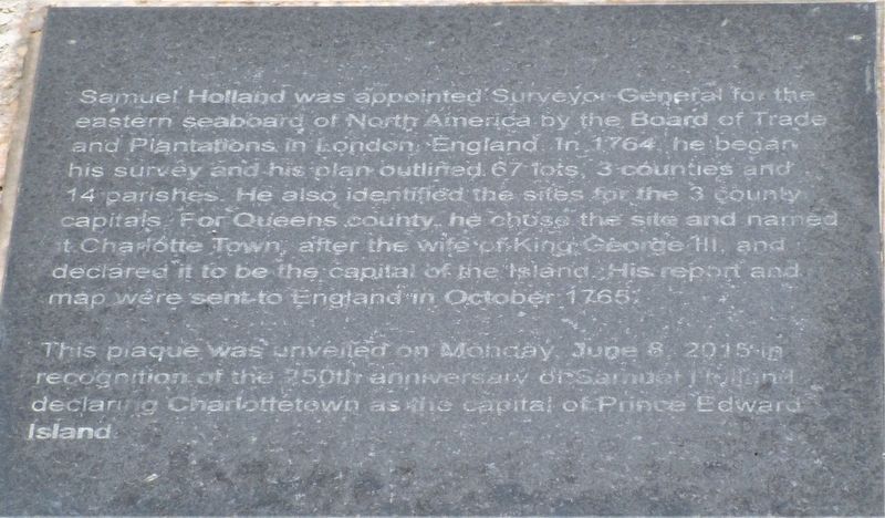
Samuel Holland
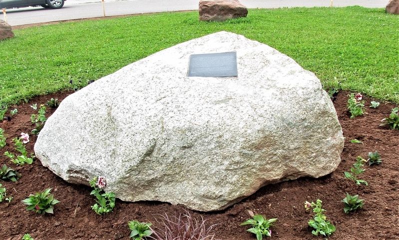
This plaque was unveiled on Monday, June 8, 2015 in recognition of the 250th anniversary of Samuel Holland declaring Charlottetown as the capital of Prince Edward Island.
Erected 2015.
Topics. This historical marker is listed in these topic lists: Political Subdivisions • Settlements & Settlers. A significant historical month for this entry is October 1765.
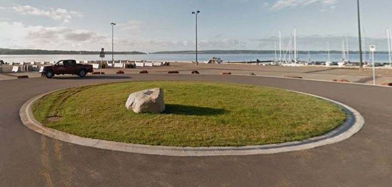
Location. 46° 13.829′ N, 63° 7.382′ W. Marker is in Charlottetown, Prince Edward Island, in Queens County. Marker is on Queen Street, on the right when traveling south. marker is in the Cu-de-Sac at Queen’s Wharf. Touch for map. Marker is at or near this postal address: 4 Queen Street, Charlottetown PE C1A 4A2, Canada. Touch for directions.
Other nearby markers. At least 8 other markers are within walking distance of this marker. Survey of the Gulf and River St. Lawrence (about 180 meters away, measured in a direct line); William Henry Pope (1825 – 1879) (about 180 meters away); Heralded Arrival… of the Circus (about 210 meters away); Carvell Building (about 210 meters away); Peake House (about 210 meters away); Great George Street Historic District (about 210 meters away); Impulsive Ambush / Une attaque impulsive (about 240 meters away); A Wet Warehouse in a Dry City / La sobriété avant tout (about 240 meters away). Touch for a list and map of all markers in Charlottetown.
Credits. This page was last revised on October 6, 2022. It was originally submitted on July 26, 2022, by Rev. Ronald Irick of West Liberty, Ohio. This page has been viewed 196 times since then and 30 times this year. Photos: 1, 2, 3. submitted on July 26, 2022, by Rev. Ronald Irick of West Liberty, Ohio. • Andrew Ruppenstein was the editor who published this page.


