Near Richmond in Madison County, Kentucky — The American South (East South Central)
Stone Kitchen
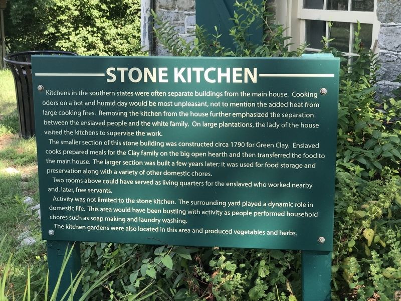
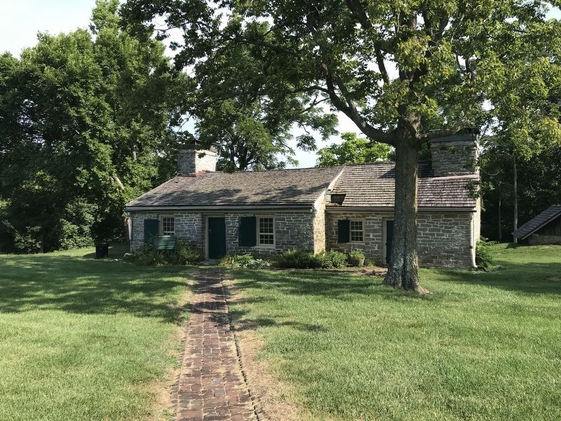
The smaller section of this stone building was constructed circa 1790 for Green Clay. Enslaved cooks prepared meals for the Clay family on the big open hearth and then transferred the food to the main house. The larger section was built a few years later; it was used for food storage and preservation along with a variety of other domestic chores.
Two rooms above could have served as living quarters for the enslaved who worked nearby and, later, free servants.
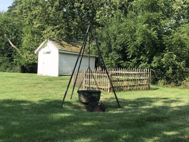
Activity was not limited to the stone kitchen. The surrounding yard played a dynamic role in domestic life. This area would have been bustling with activity as people performed household chores such as soap making and laundry washing.
The kitchen gardens were also located in this area and produced vegetables and herbs.
Topics. This historical marker is listed in this topic list: Notable Buildings. A significant historical year for this entry is 1791.
Location. 37° 50.01′ N, 84° 21.192′ W. Marker is near Richmond, Kentucky, in Madison County. Marker is on White Hall Shrine Road (Kentucky Route 3055) 0.4 miles south of Fox Town Road. Marker is in White Hall State Historic Site, approximately 125 feet northwest of the main house. Touch for map. Marker is at or near this postal address: 500 White Hall Shrine Rd, Richmond KY 40475, United States of America. Touch for directions.
Other nearby markers. At least 8 other markers are within 2 miles of this marker, measured as the crow flies. Richmond Garden Club (within shouting distance of this marker); White Hall (about 300 feet away, measured in a direct line); Laura Clay (1849-1941) (about 600 feet away); Mary Barr Clay (about 600 feet away); White Hall State Historic Site (about 700 feet away); Abraham Lincoln & Cassius Marcellus Clay (about 700 feet away); Kentucky & the Emancipation Proclamation (about 700 feet away); “Lion of White Hall” (approx. 1.3 miles away). Touch for a list and map of all markers in Richmond.
Credits. This page was last revised on July 26, 2022. It was originally submitted on July 26, 2022, by Duane and Tracy Marsteller of Murfreesboro, Tennessee. This page has been viewed 63 times since then and 7 times this year. Photos: 1, 2, 3. submitted on July 26, 2022, by Duane and Tracy Marsteller of Murfreesboro, Tennessee.


