Near Raton in Colfax County, New Mexico — The American Mountains (Southwest)
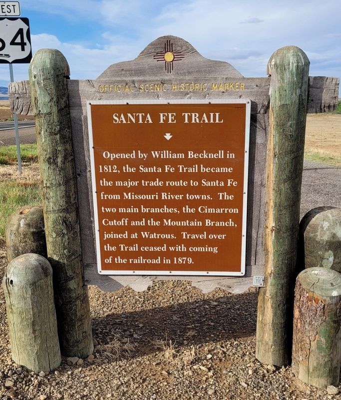
Santa Fe Trail
Erected by New Mexico Historic Preservation Division.
Topics and series. This historical marker is listed in this topic list: Roads & Vehicles. In addition, it is included in the Santa Fe Trail series list. A significant historical year for this entry is 1812.
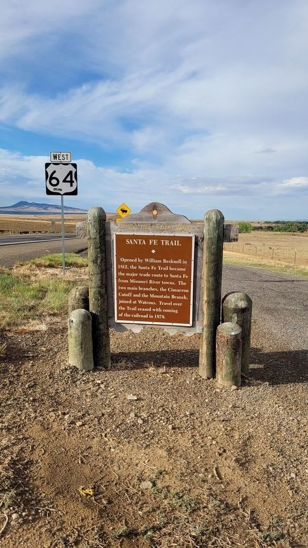
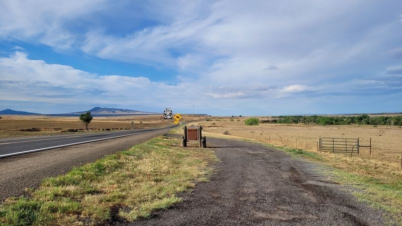
Location. 36° 48.942′ N, 104° 26.748′ W. Marker is near Raton, New Mexico, in Colfax County. Marker is at the intersection of U.S. 64 and Ranchway Road, on the right when traveling south on U.S. 64. The marker is located at a small roadside pullout. Touch for map. Marker is in this post office area: Raton NM 87740, United States of America. Touch for directions.
Other nearby markers. At least 8 other markers are within 13 miles of this marker, measured as the crow flies. First Automobile in New Mexico (approx. 4.8 miles away); The Mountain Route (approx. 4.8 miles away); Raton (approx. 5 miles away); Palace Hotel (approx. 5.9 miles away); Women of the Santa Fe Trail / New Mexico Historic Women Marker Initiative (approx. 11.8 miles away); Clifton House Site (approx. 11.9 miles away); a different marker also named Santa Fe Trail (approx. 11.9 miles away); Road to Santa Fe - Over the Pass / Santa Fe Trail Country - "Uncle Dick" Wootton (approx. 12˝ miles away in Colorado). Touch for a list and map of all markers in Raton.
Also see . . .
1. Santa Fe Trail. Wikipedia (Submitted on July 27, 2022, by James Hulse of Medina, Texas.)
2. William Becknell. Wikipedia (Submitted on July 27, 2022, by James Hulse of Medina, Texas.)
Credits. This page was last revised on July 27, 2022. It was originally submitted on July 26, 2022, by James Hulse of Medina, Texas. This page has been viewed 106 times since then and 21 times this year. Photos: 1, 2, 3, 4. submitted on July 27, 2022, by James Hulse of Medina, Texas.


