Kelly's Ford in Culpeper County, Virginia — The American South (Mid-Atlantic)
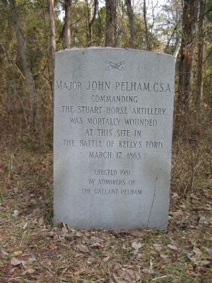
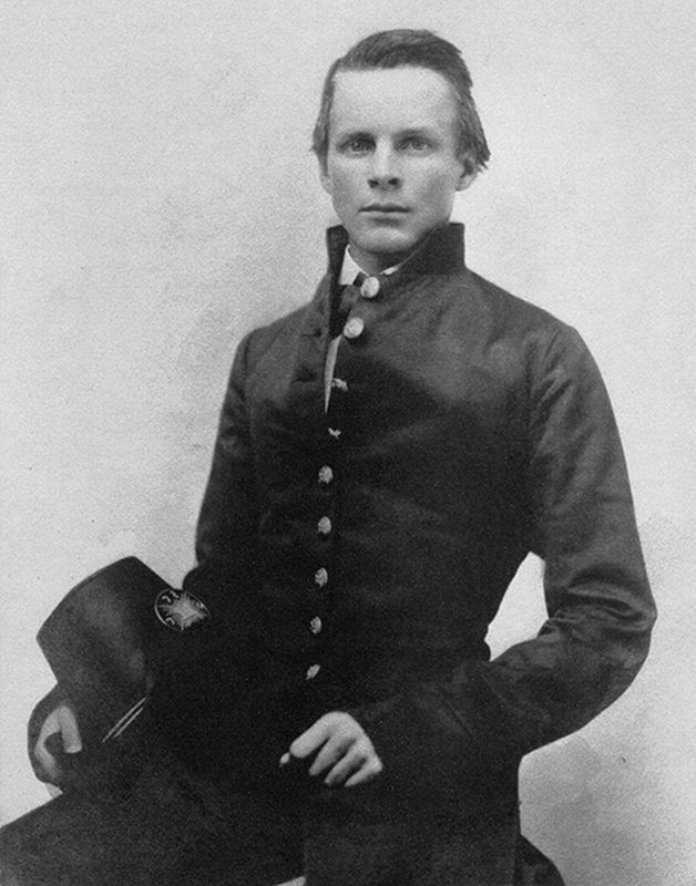
Major John Pelham, C.S.A.
Major John Pelham, C.S.A., commanding the Stuart Horse Artillery, was mortally wounded at this site in the Battle of Kelly's Ford March 17, 1863.
Erected 1981 by Admirers of the Gallant Pelham.
Topics. This memorial is listed in this topic list: War, US Civil. A significant historical date for this entry is March 17, 1863.
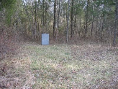
Location. 38° 29.274′ N, 77° 47.449′ W. Marker is in Kelly's Ford, Virginia, in Culpeper County. Memorial can be reached from Kelly's Ford Road (County Route 674), on the right when traveling west. Located at the end of a trail leading out about 300 yards from a parking area for the C.F. Phelps Wildlife Management Area. Touch for map. Marker is in this post office area: Remington VA 22734, United States of America. Touch for directions.
Other nearby markers. At least 8 other markers are within 3 miles of this marker, measured as the crow flies. The Battle of Kelly's Ford (approx. 0.9 miles away); Kelly’s Ford (approx. 0.9 miles away); The Battle of Brandy Station (approx. 0.9 miles away); "Chestnut Lawn" (approx. 1.1 miles away); a different marker also named Kelly's Ford (approx. 1.1 miles away); a different marker also named Battle of Kelly’s Ford (approx. 1.3 miles away); a different marker also named Battle of Kelly's Ford (approx. 2.3 miles away); a different marker also named Battle of Kelly's Ford (approx. 2.3 miles away). Touch for a list and map of all markers in Kelly's Ford.
Related marker. Click here for another marker that is related to this marker. Pelham gravesite monument
Also see . . .
1. John Pelham. Encyclopedia of Alabama website entry (Submitted on November 15, 2022, by Larry Gertner of New York, New York.)
2. Melee on St. Patrick’s Day: The Battle of Kelly’s Ford. Warfare History Network (Submitted on November 15, 2022, by Larry Gertner of New York, New York.)
Photographed By Craig Swain, January 5, 2008
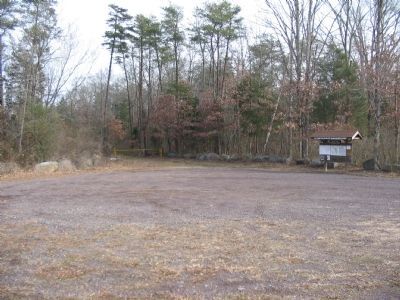
5. South Parking Area for the C.F. Phelps Wildlife Area
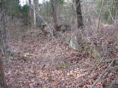
The trail to the marker is past the gate in the center. The trail parallels the stone wall used by the Federals during the battle. Portions of the stone wall were damaged by development prior to the establishment of the preserve.
Photographed By Craig Swain, January 5, 2008
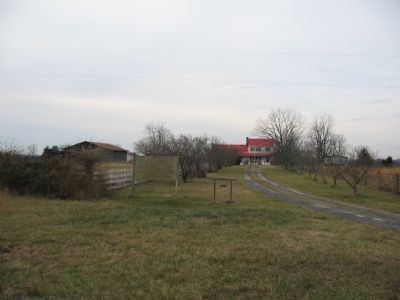
6. The Brannin House
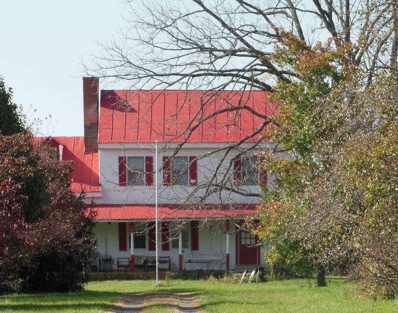
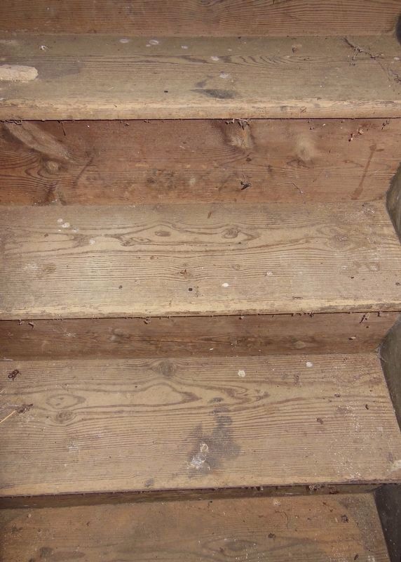
About a half mile west of the parking lot is the Brannin House. Dating to the 1780s, the house was used on several occasions, including after the Battle of Kelly's Ford, as a hospital during the Civil War. Bloody footprints on the steps of the stairs attest to the casualties attended to within the house. On other occasions the structure and grounds were used for headquarters by several Federal generals.
Credits. This page was last revised on November 15, 2022. It was originally submitted on January 6, 2008, by Craig Swain of Leesburg, Virginia. This page has been viewed 5,892 times since then and 158 times this year. Last updated on July 27, 2022. Photos: 1. submitted on January 6, 2008, by Craig Swain of Leesburg, Virginia. 2. submitted on November 15, 2022, by Larry Gertner of New York, New York. 3, 4, 5, 6. submitted on January 6, 2008, by Craig Swain of Leesburg, Virginia. 7, 8. submitted on August 16, 2020, by Bradley Owen of Morgantown, West Virginia. • Bernard Fisher was the editor who published this page.
