Near Amity in Washington County, Pennsylvania — The American Northeast (Mid-Atlantic)
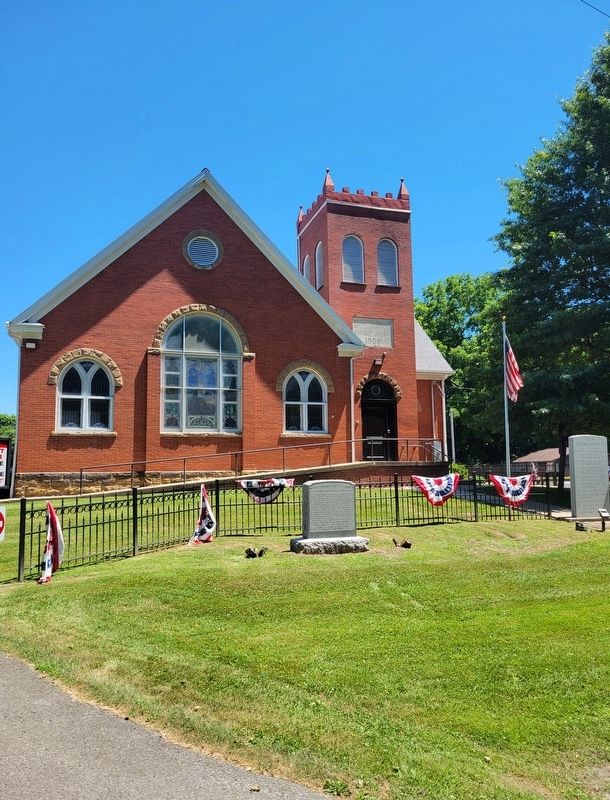
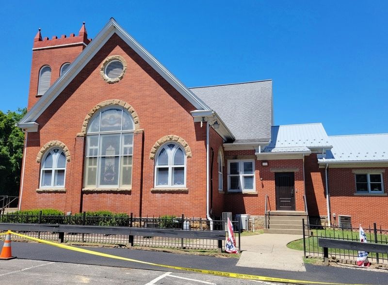
North Ten Mile Baptist Church
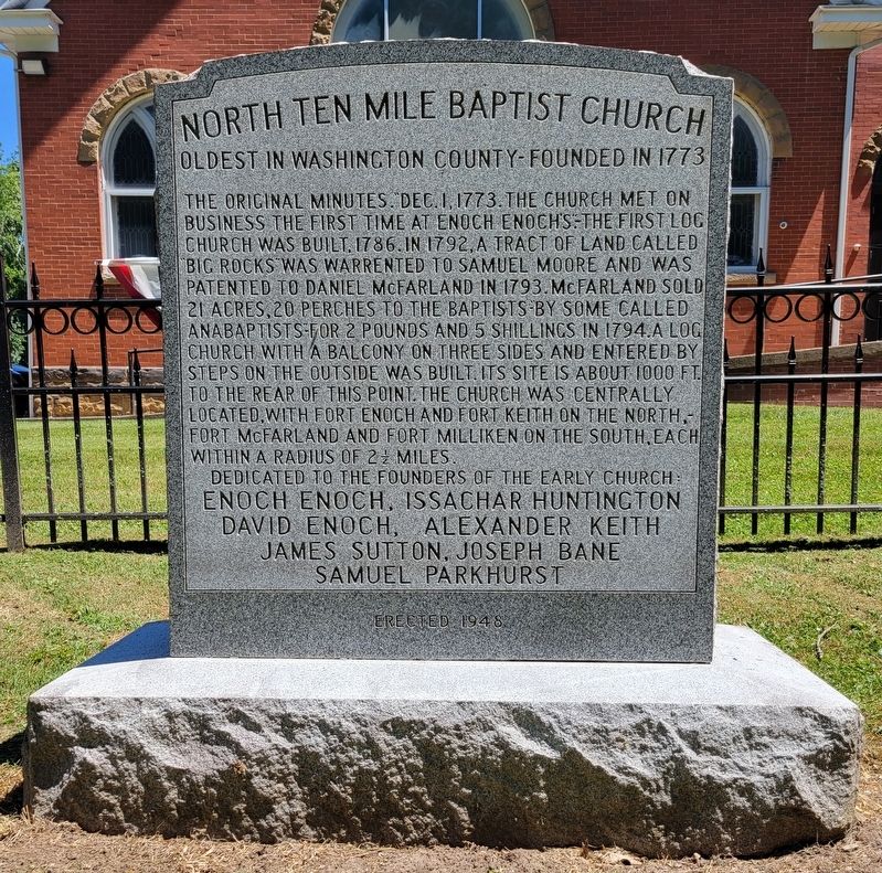
Oldest in Washington County - Founded in 1773
The original minutes. "Dec. 1, 1773. The church met on business the first time at Enoch Enoch's."-The first log church was built, 1786. In 1792, a tract of land called big rocks was warrented to Samuel Moore and was patented to Daniel McFarland in 1793. McFarland sold 21 acres, 20 perches to the Baptists by some called Anabaptists for 2 pounds and 5 shillings in 1794. A log church with a balcony on three sides and entered by steps on the outside was built. Its site is about 1000 ft. to the rear of this point. The church was centrally located, with Fort Enoch and Fort Keith on the north. Fort McFarland and Fort Milliken on the south, each within a radius of 2 miles.
Enoch Enoch, Issachar Huntington
David Enoch, Alexander Keith
James Sutton, Joseph Bane Samuel Parkhurst
Erected 1948.
Topics. This historical marker is listed in this topic list: Churches & Religion. A significant historical date for this entry is December 1, 1773.
Location. 40° 2.811′ N, 80° 9.369′ W. Marker is near Amity, Pennsylvania, in Washington County. Marker is on Ridge Church Road north of Penn Hill Road, on the right when traveling north. Touch for map. Marker is at or near this postal address: 322 Ridge Church Road, Amity PA 15311, United States of America. Touch for directions.
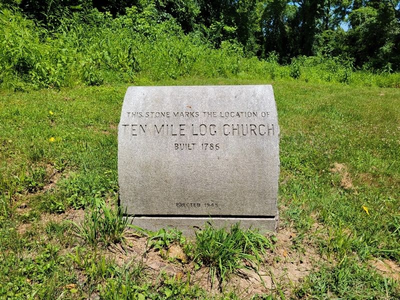
Other nearby markers. At least 8 other markers are within 3 miles of this marker, measured as the crow flies. In Memory of Those Who Did Not Return (a few steps from this marker); "The Old Cemetery" (within shouting distance of this marker); Revolutionary War Soldiers (within shouting distance of this marker); Ten Mile Log Church (about 700 feet away, measured in a direct line); Lone Pine War Memorial (approx. 2.2 miles away); a different marker also named Revolutionary War Soldiers (approx. 2.4 miles away); The Reverend Thaddeus Dodd (approx. 2.7 miles away); Lower Ten Mile Presbyterian Church (approx. 2.7 miles away). Touch for a list and map of all markers in Amity.
Credits. This page was last revised on August 3, 2022. It was originally submitted on July 30, 2022, by Bradley Owen of Morgantown, West Virginia. This page has been viewed 221 times since then and 27 times this year. Photos: 1, 2, 3, 4. submitted on August 2, 2022, by Bradley Owen of Morgantown, West Virginia. • Bill Pfingsten was the editor who published this page.


