Near Wolf Point in Roosevelt County, Montana — The American West (Mountains)
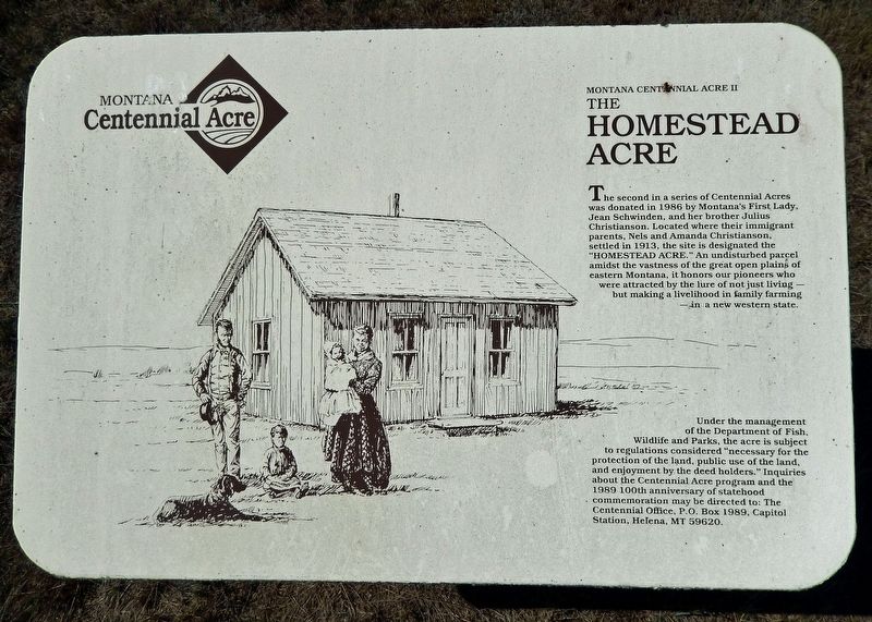
The Homestead Acre
Montana Centennial Acre II
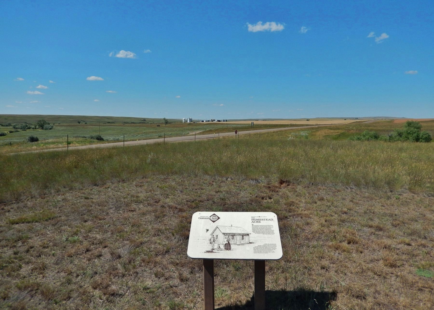
The second in a series of Centennial Acres was donated in 1986 by Montana's First Lady, Jean Schwinden, and her brother Julius Christianson. Located where their immigrant parents, Nels and Amanda Christianson, settled in 1913, the site is designated the "HOMESTEAD ACRE." An undisturbed parcel amidst the vastness of the great open plains of eastern Montana, it honors our pioneers who were attracted by the lure of not just living — but making a livelihood in family farming — in a new western state.
Under the management of the Department of Fish, Wildlife and Parks, the acre is subject to regulations considered "necessary for the protection of the land, public use of the land, and enjoyment by the deed holders." Inquiries about the Centennial Acre program and the 1989 100th anniversary of statehood commemoration may be directed to: The Centennial Office, P.O. Box 1989, Capitol Station, Helena, MT 59620.
Topics. This historical marker is listed in this topic list: Settlements & Settlers. A significant historical year for this entry is 1913.
Location. 48° 11.883′ N, 105° 29.724′ W. Marker is near Wolf Point, Montana, in Roosevelt County. Marker is on State Highway 13, 5.4 miles north of U.S. 2, on the right when traveling north. Marker is located in an interpretive wayside overlooking the subject historic site. Touch for map. Marker is in this post office area: Wolf Point MT 59201, United States of America. Touch for directions.
Other nearby markers. At least 3 other markers are within 10 miles of this marker, measured as the crow flies. Lewis and Clark Bridge and Interpretive Site (approx. 9.4 miles away); The Wolf Point Bridge (approx. 9.4 miles away); Wolf Point (approx. 10 miles away).
Also see . . .
1. Homesteading in Montana.
In total 151,600 homesteads were proved up in Montana. The total acreage of homesteaded land was 32,050.480 which is 34% of the land in the state.(Submitted on August 1, 2022, by Cosmos Mariner of Cape Canaveral, Florida.)
2. Analysis of homesteading in Roosevelt County, Montana (Keith B. Jensen, 1986).
Between 1905 and 1913 the territory east of the Little Muddy filled with settlers. During this period, the towns of Bainville, Froid, McCabe, Lanark and Mondak were founded. Of these, Froid and Bainville exist today as viable towns. The "honyonkers," as these new settlers were named, rapidly replaced and outnumbered the original group of cowboy claimants. Several factors were instrumental in promoting this influx of homesteaders. Prompted by railroad propaganda and the chance for free land, transplanted midwesterners along with Scandinavian and European immigrants streamed into the area.
(Submitted on August 1, 2022, by Cosmos Mariner of Cape Canaveral, Florida.)
Credits. This page was last revised on August 1, 2022. It was originally submitted on August 1, 2022, by Cosmos Mariner of Cape Canaveral, Florida. This page has been viewed 128 times since then and 22 times this year. Photos: 1, 2. submitted on August 1, 2022, by Cosmos Mariner of Cape Canaveral, Florida.

