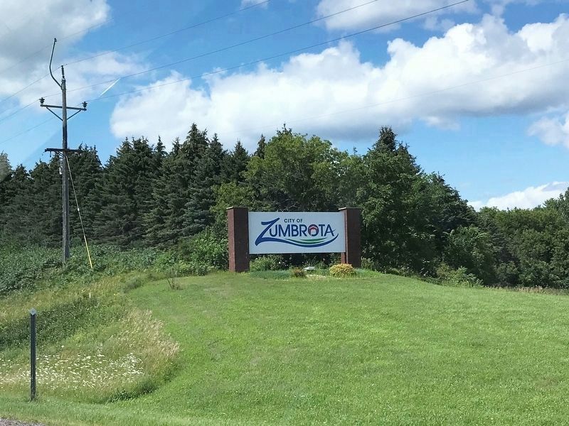
Zumbrota in Goodhue County, Minnesota — The American Midwest (Upper Plains)
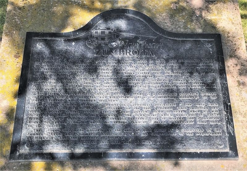
Zumbrota
The old Dubuque Trail, on which this marker is situated, linked Dubuque and St. Paul in the 1850's and was one of the major overland stage routes during the territorial period. The fare per person from St. Paul to Zumbrota was $4.50. Postal rate was 5˘ a letter up to 300 miles.
The First Congregational Church, built in 1862, is a handsome structure located on East Avenue between 4th and 5th streets. It is an inspiring monument to the sturdy Yankees who founded the town.
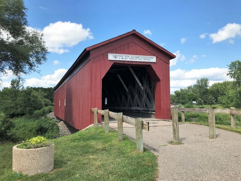
The Old Covered Bridge is Zumbrota's proudest possession - the only such bridge surviving in Minnesota - located on the fair grounds. This imposing 120 foot structure vividly recalls the 63 year period, 1869 to 1932, when it was located on Main Street, the gateway to the town over which hundreds of wagon loads of wheat were transported annually on their way to market and a favorite haunt for young couples until the village council ordered a kerosene lamp hung in the center.
This plaque was made possible by the sale of gold tacks by a committee of the Zumbrota Civic and Commerce Association with the cooperation of the Department of Highways and the Historical Society.
Erected 1961 by the Zumbrota Civic and Commerce Association with the cooperation of the Department of Highways and the Historical Society.
Topics. This historical marker is listed in these topic lists: Bridges & Viaducts • Churches & Religion • Settlements & Settlers • Waterways & Vessels. A significant historical year for this entry is 1856.
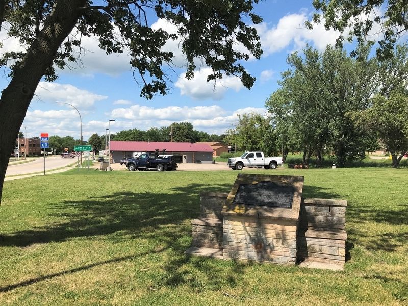
Location. 44° 16.951′ N, 92° 40.133′ W. Marker is in Zumbrota, Minnesota, in Goodhue County. Marker is on Main Street, 0.1 miles south of Jefferson Drive, on the right when traveling north. Touch for map. Marker is in this post office area: Zumbrota MN 55992, United States of America. Touch for directions.
Other nearby markers. At least 8 other markers are within 11 miles of this marker, measured as the crow flies. First Congregational Church (approx. 0.7 miles away); Zumbrota Covered Bridge 1869-1932 (approx. 0.9 miles away); Zumbrota Covered Bridge 1932-1969 (approx. 0.9 miles away); Zumbrota Covered Bridge 1970-1997 (approx. 0.9 miles away); Zumbrota Covered Bridge Today (approx. 0.9 miles away); "The Old Covered Bridge" (approx. 0.9 miles away); Zumbrota Covered Bridge (approx. 0.9 miles away); Oronoco Gold Rush (approx. 10.2 miles away). Touch for a list and map of all markers in Zumbrota.
Related markers. Click here for a list of markers that are related to this marker.
Credits. This page was last revised on August 1, 2022. It was originally submitted on August 1, 2022. This page has been viewed 180 times since then and 34 times this year. Photos: 1, 2, 3, 4, 5. submitted on August 1, 2022.
