Middletown in Jefferson County, Kentucky — The American South (East South Central)
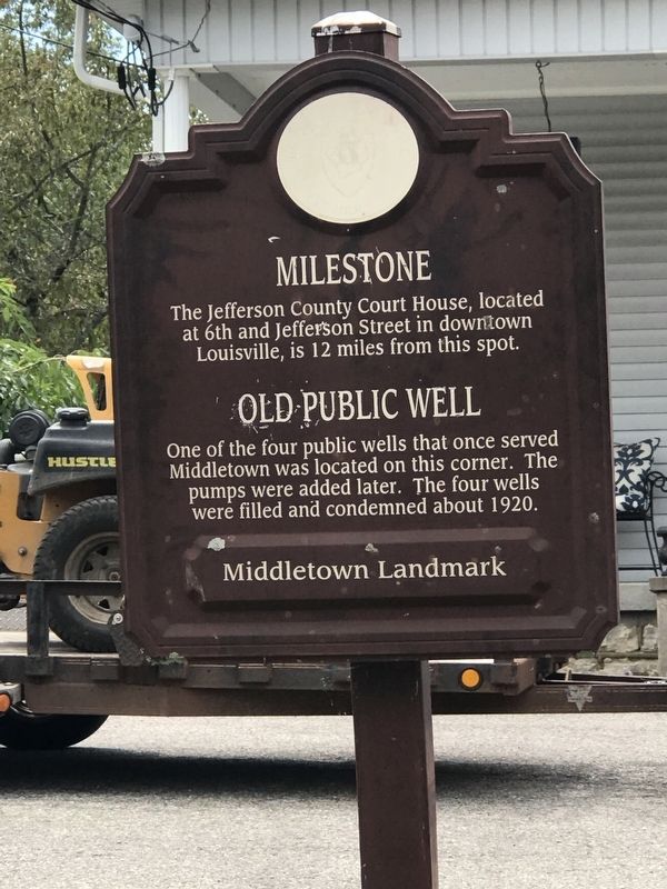
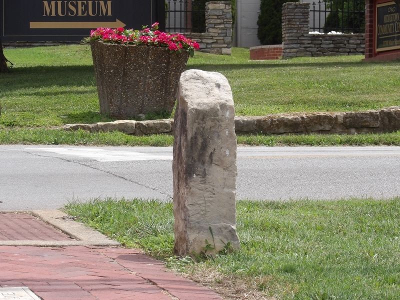
Milestone
⎯⎯⎯
Old Public Well
Photographed by Duane and Tracy Marsteller, July 24, 2022
1. Milestone / Old Public Well Marker
Old Public Well One of the four public wells that once served Middletown was located on this corner. The pumps were added later. The four wells were filled and condemned about 1920.
Erected by Historic Middletown, Inc. • City of Middletown.
Topics. This historical marker is listed in this topic list: Landmarks. A significant historical year for this entry is 1920.
Location. 38° 14.712′ N, 85° 32.386′ W. Marker is in Middletown, Kentucky, in Jefferson County. It is at the intersection of Main Street and South Madison Avenue, on the right when traveling east on Main Street. Touch for map. Marker is at or near this postal address: 11620 Main St, Louisville KY 40243, United States of America. Touch for directions.

Regionally, this marker is in Greater Louisville Area. It is also in the American South, specifically in the Upper South, and in the Ohio River Valley. Globally, it is in North America, the Western Hemisphere, the Western World, and the Anglosphere. Historically, it finds
this page online
Other nearby markers. At least 8 other markers are within walking distance of this marker: Bank of Middletown (within shouting distance of this marker); Middletown Methodist Church (within shouting distance of this marker); Arterburn House (within shouting distance of this marker); Middletown Inn (within shouting distance of this marker); The Benjamin Head House (about 500 feet away, measured in a direct line); Middletown's First Gas Station (about 500 feet away); Lawrence Winchester Wetherby / Gov. Lawrence W. Wetherby (about 700 feet away); Gov. Lawrence Wetherby Statue (about 700 feet away). Touch for a list and map of all markers in Middletown.
Photographed by Duane and Tracy Marsteller, July 24, 2022
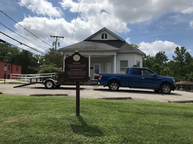
2. Milestone / Old Public Well Marker
Photographed by Duane and Tracy Marsteller, July 24, 2022
3. Milestone
Credits. This page was last revised on August 4, 2022. It was originally submitted on August 4, 2022, by Duane and Tracy Marsteller of Murfreesboro, Tennessee. This page has been viewed 494 times since then and 35 times this year. Photos: 1, 2, 3. submitted on August 4, 2022, by Duane and Tracy Marsteller of Murfreesboro, Tennessee.
