Grand Marais in Cook County, Minnesota — The American Midwest (Upper Plains)
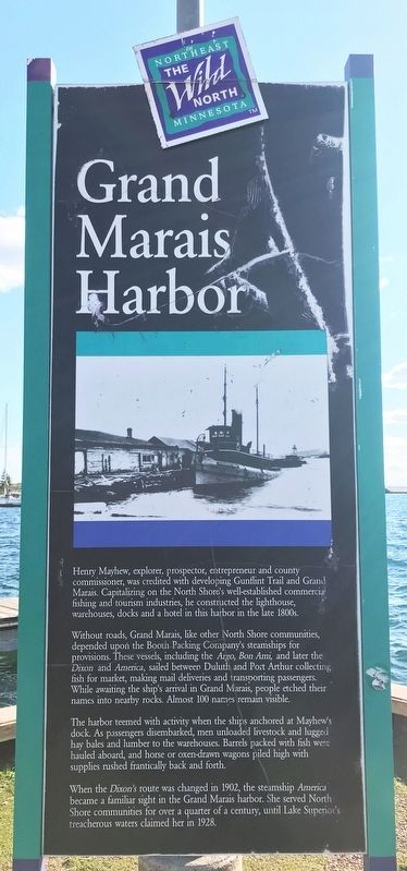
Grand Marais Harbor
— The Wild North in Northeast Minnesota —
Without roads, Grand Marais, like other North Shore communities, depended upon the Booth Packing Company's steamships for provisions. These vessels, including the Argo, Bon Ami, and later the Dixon and America, sailed between Duluth and Port Arthur collecting fish for market, making mail deliveries and transporting passengers. While awaiting the ship's arrival in Grand Marais, people etched their names into nearby rocks. Almost 100 names remain visible.
The harbor teemed with activity when the ships anchored at Mayhew's dock. As passengers disembarked, men unloaded livestock and lugged hay bales and lumber to the warehouses. Barrels packed with fish were hauled aboard, and horse or oxen-drawn wagons piled high with supplies rushed frantically back and forth.
When the Dixon's route was changed in 1902, the steamship America became a familiar sight in the Grand Marais harbor. She served North Shore communities for over a quarter of a century, until Lake Superior's treacherous waters claimed her in 1928.
Topics. This historical marker is listed in these topic lists: Industry & Commerce • Waterways & Vessels. A significant historical year for this entry is 1902.
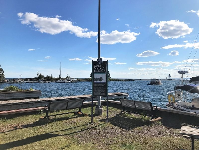
Location. 47° 44.796′ N, 90° 20.015′ W. Marker is in Grand Marais, Minnesota, in Cook County. Marker is on Broadway Avenue, 0.2 miles south of Wisconsin Street, on the right when traveling south. Located southwest of the Artists' Point parking area, northwest of the U.S. Coast Guard station. Touch for map. Marker is in this post office area: Grand Marais MN 55604, United States of America. Touch for directions.
Other nearby markers. At least 8 other markers are within 2 miles of this marker, measured as the crow flies. Pulpwood Rafting (about 300 feet away, measured in a direct line); The Point Interpretive Site (about 400 feet away); Natural History of the Point (about 400 feet away); a different marker also named The Grand Marais Harbor (approx. ¼ mile away); Geology of Minnesota (approx. ¼ mile away); Bally Blacksmith Shop (approx. 0.3 miles away); St. Francis Xavier Church (approx. 1.3 miles away); Chippewa City (approx. 1.3 miles away). Touch for a list and map of all markers in Grand Marais.
Credits. This page was last revised on August 4, 2022. It was originally submitted on August 4, 2022. This page has been viewed 153 times since then and 26 times this year. Photos: 1, 2, 3, 4. submitted on August 4, 2022.


