Amity in Washington County, Pennsylvania — The American Northeast (Mid-Atlantic)
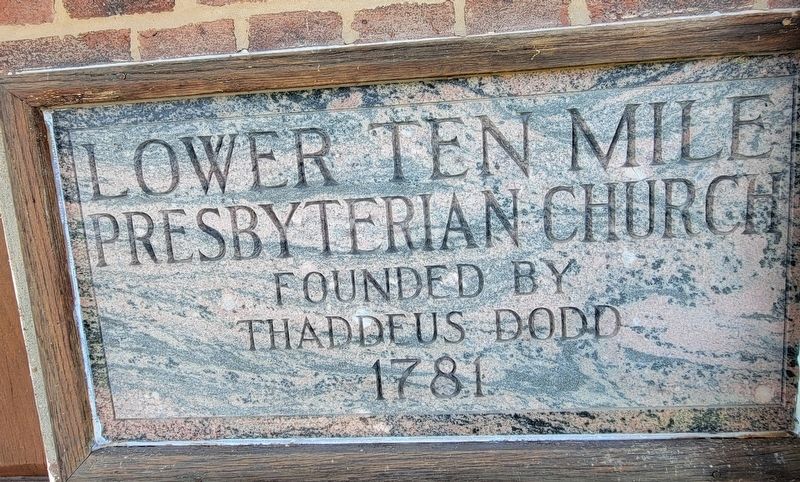
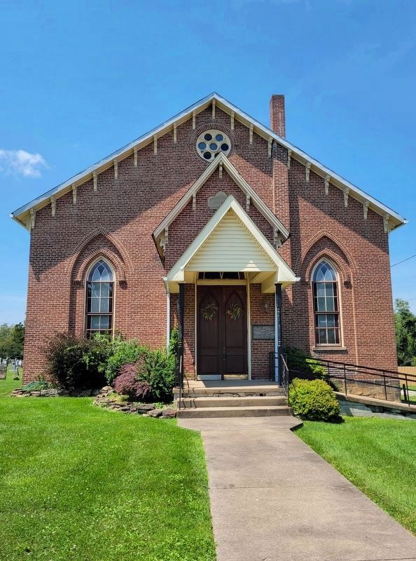
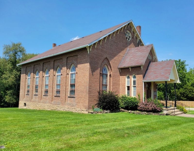
Lower Ten Mile Presbyterian Church
Thaddeus Dodd
1781
Topics. This historical marker is listed in this topic list: Churches & Religion. A significant historical year for this entry is 1781.
Location. 40° 2.304′ N, 80° 12.302′ W. Marker is in Amity, Pennsylvania, in Washington County. Marker is on Amity Ridge Road (U.S. 19) south of West Hillsboro Road, on the left when traveling north. Touch for map. Marker is at or near this postal address: 644 Amity Ridge Road, Amity PA 15311, United States of America. Touch for directions.
Other nearby markers. At least 8 other markers are within 3 miles of this marker, measured as the crow flies. The Reverend Thaddeus Dodd (a few steps from this marker); Revolutionary War Soldiers (within shouting distance of this marker); Amity (approx. 0.4 miles away); In Memory of Those Who Did Not Return (approx. 2.6 miles away); North Ten Mile Baptist Church (approx. 2.7 miles away); a different marker also named Revolutionary War Soldiers (approx. 2.7 miles away); "The Old Cemetery" (approx. 2.7 miles away); Ten Mile Log Church (approx. 2.7 miles away). Touch for a list and map of all markers in Amity.
Regarding Lower Ten Mile Presbyterian Church. Dod (as his name is spelled on his gravestone and in Wikipedia), accepted a ministerial call in 1778 from two congregations in present-day Washington County, PA: Lindley's Fort at Lower Ten Mile near Amity, and Cook's Fort at Upper Ten Mile (Prosperity). He was the second minister to settle west of the Monongahela River and the first to establish a Presbytery west of the Allegheny Mountains.
Credits. This page was last revised on August 10, 2022. It was originally submitted on August 6, 2022, by Bradley Owen of Morgantown, West Virginia. This page has been viewed 265 times since then and 46 times this year. Photos: 1, 2, 3. submitted on August 6, 2022, by Bradley Owen of Morgantown, West Virginia. • Bill Pfingsten was the editor who published this page.


