Tiburon in Marin County, California — The American West (Pacific Coastal)
Water Reservoir
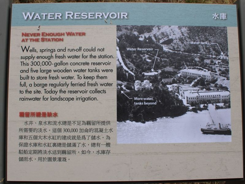
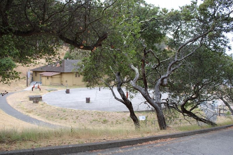
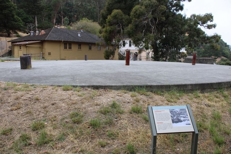
Wells, springs and run-off could not supply enough fresh water for the station. This 300,000 gallong concrete reservoir and five large wooden water tanks were built to store water. To keep them full, a barge regularly ferried fresh water to the site. Today, the reservoir collects rainwater for landscape irrigation.
(The text repeats in Chinese)
埃尔斯、泉水和径流无法为车站提供足够的淡水。这个 300,000 加仑的混凝土水库和五个大型木制水箱是用来储存水的。为了让它们充满,一艘驳船定期将淡水运送到现场。今天,水库收集雨水用于景观灌溉。 Āi ěr sī, quánshuǐ hé jìngliú wúfǎ wèi chēzhàn tígōng zúgòu de dànshuǐ. Zhège 300,000 jiālún de hùnníngtǔ shuǐkù hé wǔ gè dàxíng mù zhì shuǐxiāng shì yòng lái chúcún shuǐ de. Wèile ràng tāmen chōngmǎn, yī sōu bóchuán dìngqí jiāng dànshuǐ yùnsòng dào xiànchǎng. Jīntiān, shuǐkù shōují yǔshuǐ yòng yú jǐngguān guàngài.
Topics. This historical marker is listed in this topic list: Parks & Recreational Areas.
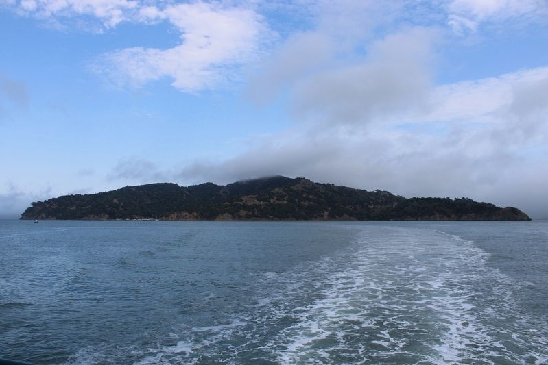
Location. 37° 52.143′ N, 122° 25.53′ W. Marker is in Tiburon, California, in Marin County. Angel Island is located north of Alcatraz Island and is the largest island in the San Francisco Bay. It is accessed by ferry, private boat, watercraft, or kayak. Touch for map. Marker is in this post office area: Belvedere Tiburon CA 94920, United States of America. Touch for directions.
Other nearby markers. At least 8 other markers are within walking distance of this marker. Asian Men's Recreation Yard (within shouting distance of this marker); Hospital (within shouting distance of this marker); A Garden Setting (about 300 feet away, measured in a direct line); Segregation and Separation (about 300 feet away); Separate Doors (about 300 feet away); Detention Barracks (about 300 feet away); Staff Housing (about 300 feet away); Life on the Second Floor (about 300 feet away). Touch for a list and map of all markers in Tiburon.
More about this marker. The resin marker is mounted to a metal stand next to the reservoir.
Regarding Water Reservoir. The entire island is a state park, except for Point Blunt on the southeastern tip, which is controlled by the U.S. Coast Guard.
Also see . . . Immigration Station.
"Park staff and volunteers provide guided tours and interpretive talks to connect visitors today with the many issues and situations that immigrants faced on Angel Island over 100 years ago..."(Submitted on August 7, 2022, by Joseph Alvarado of Livermore, California.)
Credits. This page was last revised on August 19, 2022. It was originally submitted on August 7, 2022, by Joseph Alvarado of Livermore, California. This page has been viewed 183 times since then and 37 times this year. Photos: 1, 2, 3, 4. submitted on August 7, 2022, by Joseph Alvarado of Livermore, California. • Syd Whittle was the editor who published this page.


