
Near Fort Frances in Rainy River District, Ontario — Central Canada (North America)
Sieur De La Vérendrye (1685- 1749)
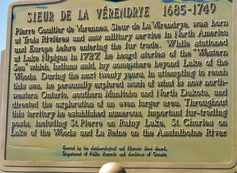
Photographed by Rev. Ronald Irick, July 17, 2022
1. Sieur De La Verendrye (1685- 1749) Marker
Erected by The Archaeological and Historic Site Board, Department of Public Records and Archives of Ontario.
Topics and series. This historical marker is listed in these topic lists: Exploration • Industry & Commerce. In addition, it is included in the Canada, Ontario Heritage Trust series list. A significant historical year for this entry is 1727.
Location. 48° 37.034′ N, 93° 21.555′ W. Marker is near Fort Frances, Ontario,
this page online

Regionally, this marker is in Northern Ontario and specifically in Northwest Ontario. It is also in Central Canada. Globally, it is in North America, the Great North Woods, the Western Hemisphere, the Western World, and the Anglosphere. Historically, it finds itself in what was once a British colony, the Viceroyalty of New France, the Haudenosaunee (Iroquois) Confederacy, and Rupert’s Land.
Other nearby markers. At least 8 other markers are within walking distance of this marker: Calder History (within shouting distance of this marker); Robert J. N. Pither (within shouting distance of this marker); Fort St. Pierre / Le Fort Saint-Pierre (approx. 0.3 kilometers away); Pelts, Paddles and Portages (approx. 0.8 kilometers away); Explore Fort Frances East (approx. 0.8 kilometers away); a
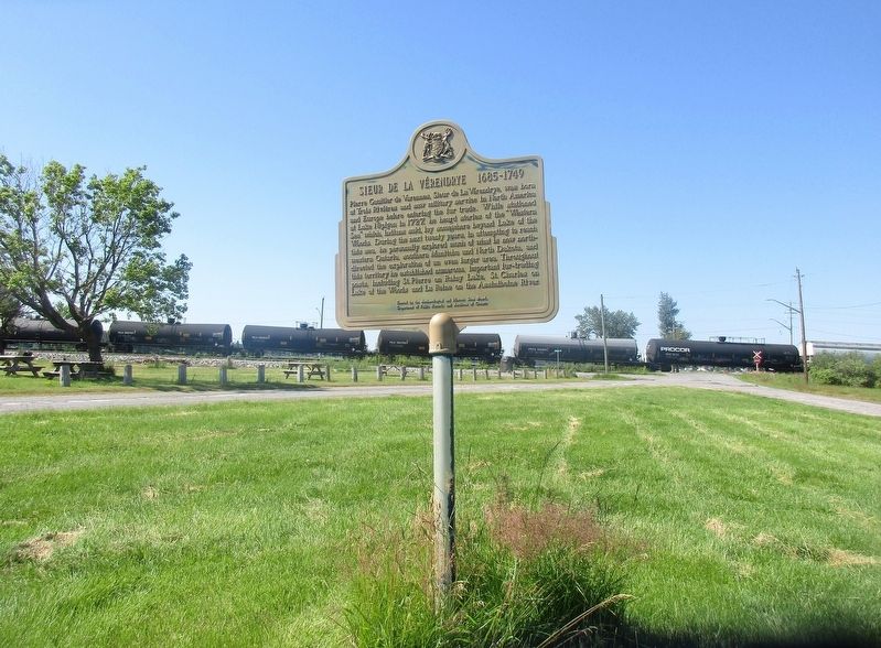
Photographed by Rev. Ronald Irick, July 17, 2022
2. Sieur De La Verendrye (1685- 1749) Marker
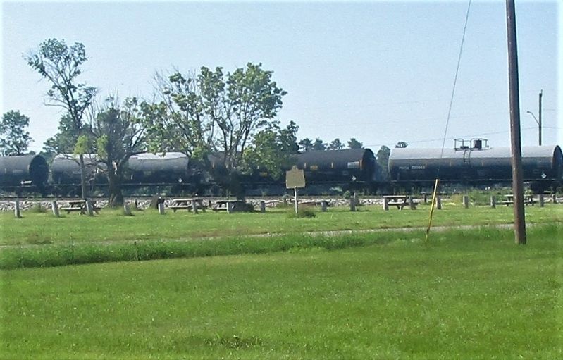
Photographed by Rev. Ronald Irick, July 17, 2022
3. Sieur De La Verendrye (1685- 1749) Marker
Credits. This page was last revised on August 13, 2022. It was originally submitted on August 8, 2022, by Rev. Ronald Irick of West Liberty, Ohio. This page has been viewed 253 times since then and 28 times this year. Photos: 1, 2, 3. submitted on August 8, 2022, by Rev. Ronald Irick of West Liberty, Ohio. • Andrew Ruppenstein was the editor who published this page.
