Near Peninsula in Summit County, Ohio — The American Midwest (Great Lakes)
Lock 26
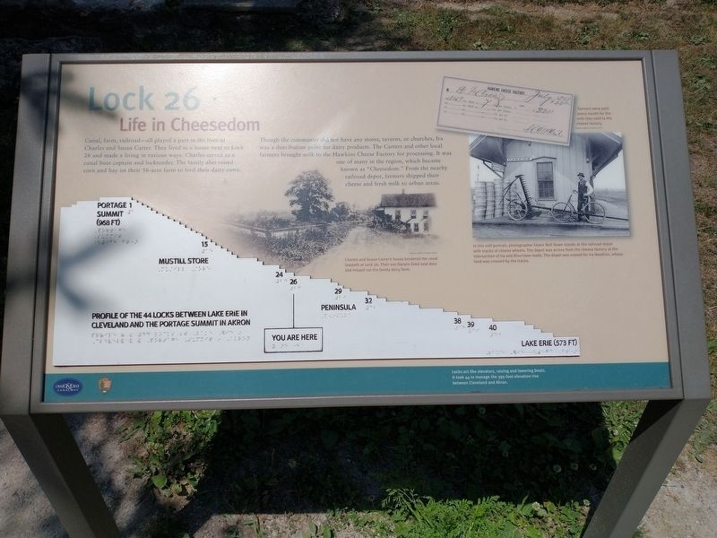
Life in Cheesedom
Though the community did not have any stores, taverns, or churches, Ira was a distribution point for dairy products. The Carters and other local farmers brought milk to the Hawkins Cheese Factory for processing. It was one of many in the region, which became known as “Cheesedom”. From the nearby railroad depot, farmers shipped their cheese and fresh milk to urban areas.
[Caption]: Farmers were paid every month for the milk they sold to the cheese factory.
[Caption]: Charles and Susan Carter’s house bordered the canal towpath at Lock 26. Their son Darwin lived next door and helped run the family dairy farm.
[Caption]: In this self-portrait, photographer Edwin Bell Howe stands at the railroad depot with stacks of cheese wheels. The depot was across from the cheese factory at the intersection of Ira and Riverview roads. The depot was named for Ira Hawkins, whose land was crossed by the tracks.
[Caption]: Locks act like elevators, raising and lowering boats. It took 44 to manage the 395-foot elevation rise between Cleveland and Akron.
Erected by National Park Service, U.S. Department of the Interior.
Topics and series. This historical marker is listed in these topic lists: Industry & Commerce • Railroads & Streetcars • Waterways & Vessels. In addition, it is included in the Ohio and Erie Canal series list.
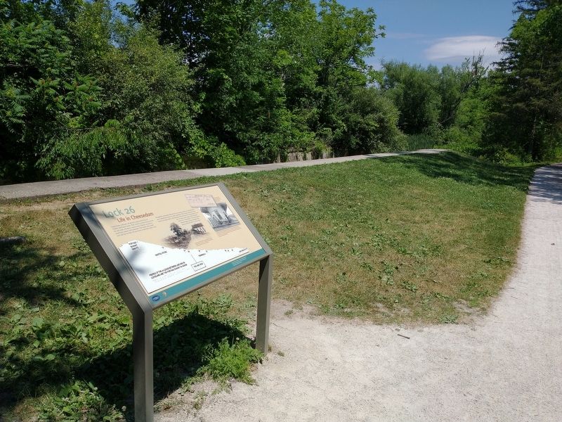
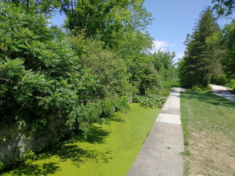
Location. 41° 11.132′ N, 81° 34.862′ W. Marker is near Peninsula, Ohio, in Summit County. Marker is on Ohio & Erie Canal Towpath Trail, on the left when traveling north. Marker is located on the Ohio & Erie Canal Towpath Trail north of the Ira Trailhead. Touch for map. Marker is in this post office area: Peninsula OH 44264, United States of America. Touch for directions.
Other nearby markers. At least 8 other markers are within walking distance of this marker. From Salvage Yard to Beaver Marsh (about 600 feet away, measured in a direct line); Welcome to Cuyahoga Valley National Park (about 700 feet away); Cuyahoga River (approx. 0.4 miles away); Ira Cemetery Information Board (approx. 0.6 miles away); Lock 25 (approx. 0.7 miles away); Jonathan Hale Homestead (approx. 0.8 miles away); Hale Farm & Village (approx. 0.9 miles away); Sugar House (approx. 0.9 miles away). Touch for a list and map of all markers in Peninsula.
Credits. This page was last revised on August 10, 2022. It was originally submitted on August 8, 2022, by Tom Bosse of Jefferson City, Tennessee. This page has been viewed 156 times since then and 59 times this year. Photos: 1, 2, 3. submitted on August 8, 2022, by Tom Bosse of Jefferson City, Tennessee. • Bill Pfingsten was the editor who published this page.


