Near Botzum in Summit County, Ohio — The American Midwest (Great Lakes)
Lock 25
Botzum Businesses
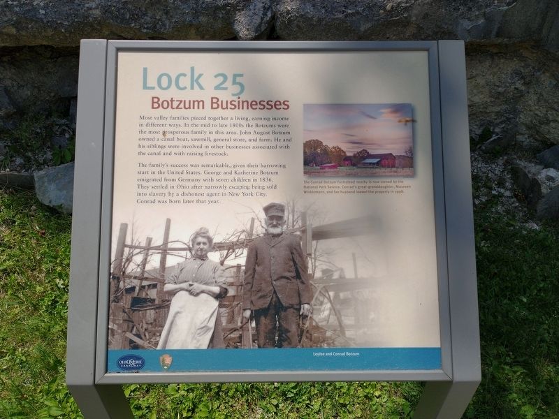
The family’s success was remarkable, given their harrowing start in the United States. George and Katherine Botzum emigrated from Germany with seven children in 1836. They settled in Ohio after narrowly escaping being sold into slavery by a dishonest agent in New York City. Conrad was born later that year.
[Caption]: The Conrad Botzum Farmstead nearby is now owned by the National Park Service. Conrad’s great-granddaughter, Maureen Winklemann, and her husband leased the property in 1998.
[Caption]: Louise and Conrad Botzum
Erected by National Park Service, U.S. Department of the Interior.
Topics and series. This historical marker is listed in these topic lists: Industry & Commerce • Settlements & Settlers • Waterways & Vessels. In addition, it is included in the Ohio and Erie Canal series list. A significant historical year for this entry is 1836.
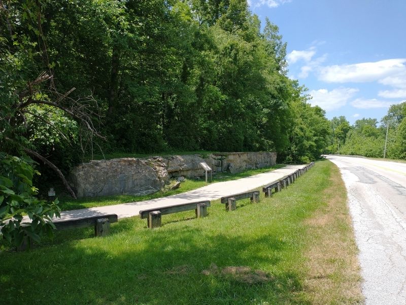
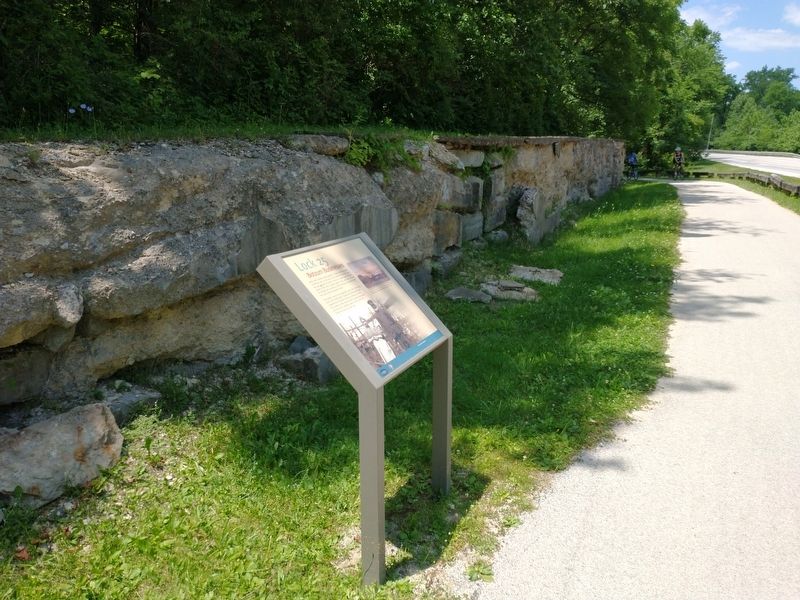
Location. 41° 10.536′ N, 81° 34.766′ W. Marker is near Botzum, Ohio, in Summit County. Marker is on Riverview Road, on the left when traveling north. Touch for map. Marker is in this post office area: Akron OH 44313, United States of America. Touch for directions.
Other nearby markers. At least 8 other markers are within 2 miles of this marker, measured as the crow flies. Lock 24 (approx. ¼ mile away); Welcome to Cuyahoga Valley National Park (approx. 0.6 miles away); From Salvage Yard to Beaver Marsh (approx. 0.6 miles away); Lock 26 (approx. 0.7 miles away); Cuyahoga River (approx. one mile away); Ira Cemetery Information Board (approx. 1.2 miles away); Jonathan Hale Homestead (approx. 1.4 miles away); Hale Farm & Village (approx. 1.4 miles away).
Credits. This page was last revised on August 10, 2022. It was originally submitted on August 8, 2022, by Tom Bosse of Jefferson City, Tennessee. This page has been viewed 409 times since then and 251 times this year. Photos: 1, 2, 3. submitted on August 8, 2022, by Tom Bosse of Jefferson City, Tennessee. • Bill Pfingsten was the editor who published this page.


