Near Ravenna in Fannin County, Texas — The American South (West South Central)
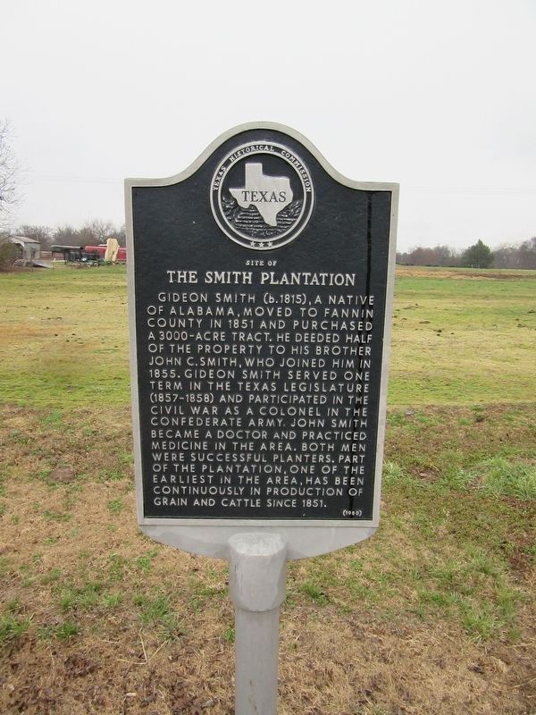
Site of the Smith Plantation
Gideon Smith (b. 1815), a native of Alabama, moved to Fannin County in 1851 and purchased a 3000-acre tract. He deeded half of the property to his brother John C. Smith, who joined him in 1855. Gideon smith served one term in the Texas Legislature (1857-1858) and participated in the Civil War as a colonel in the Confederate Army. John Smith became a doctor and practiced medicine in the area. Both men were successful planters. Part of the plantation, one of the earliest in the area, has been continuously in production of grain and cattle since 1851.
Erected 1980 by Texas Historical Commission. (Marker Number 8934.)
Topics. This historical marker is listed in these topic lists: Agriculture • Settlements & Settlers. A significant historical year for this entry is 1851.
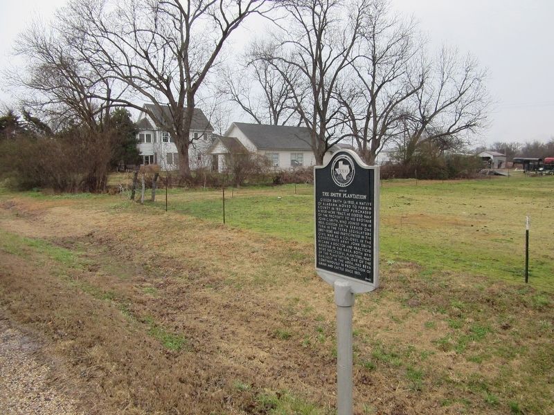
Location. 33° 43.899′ N, 96° 15.324′ W. Marker is near Ravenna, Texas, in Fannin County. Marker is on Farm to Market Road 274, 4 miles west of State Highway 78, on the right when traveling west. Touch for map. Marker is in this post office area: Ravenna TX 75476, United States of America. Touch for directions.
Other nearby markers. At least 8 other markers are within 11 miles of this marker, measured as the crow flies. Union Cemetery (approx. one mile away); Mulberry Cemetery (approx. 1.2 miles away); Joseph Sowell (approx. 3.9 miles away); Ector Lodge No. 687, A. F. & A. M. (approx. 10.6 miles away); Little Jordan Cemetery (approx. 10.7 miles away); Bethlehem Baptist Church (approx. 10.8 miles away); Fort Warren (approx. 10.9 miles away); Dr. Tom Douglas Spies (approx. 11 miles away). Touch for a list and map of all markers in Ravenna.
Credits. This page was last revised on August 17, 2022. It was originally submitted on August 8, 2022, by Jason Armstrong of Talihina, Oklahoma. This page has been viewed 238 times since then and 75 times this year. Photos: 1, 2, 3. submitted on August 8, 2022, by Jason Armstrong of Talihina, Oklahoma. • J. Makali Bruton was the editor who published this page.


