Park Duvalle in Louisville in Jefferson County, Kentucky — The American South (East South Central)
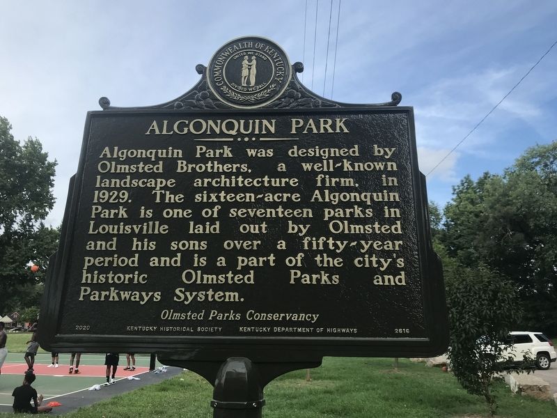
Algonquin Park
⎯⎯⎯
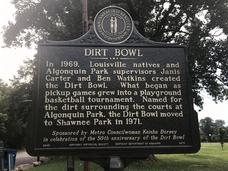
Dirt Bowl
Photographed by Duane and Tracy Marsteller, July 24, 2022
1. Algonquin Park Marker side
Dirt Bowl In 1969, Louisville natives and Algonquin Park supervisors Janis Carter and Ben Watkins created the Dirt Bowl. What began as pickup games grew into a playground basketball tournament. Named for the dirt surrounding the courts at Algonquin Park, the Dirt Bowl moved to Shawnee Park in 1971.
in celebration of the 50th anniversary of the Dirt Bowl
Erected 2020 by Kentucky Historical Society • Kentucky Department of Highways. (Marker Number 2616.)
Topics and series. This historical marker is listed in these topic lists: Parks & Recreational Areas • Sports. In addition, it is included in the Kentucky Historical Society series list. A significant historical year for this entry is 1929.
Location. 38° 13.639′ N, 85° 48.044′ W.
this page online

Regionally, this marker is in the American South, specifically in the Upper South, and in the Ohio River Valley. Globally, it is in North America, the Western Hemisphere, the Western World, and the Anglosphere. Historically, it finds itself in what was once the territory of the Mississippian Culture and also the Antebellum South.
Other nearby markers. At least 8 other markers are within 2 miles of this marker, measured as the crow flies: Calvary Baptist Church (approx. half a mile away); Muhammad Ali's Home Site / "Education Brings Self-Respect" — Muhammad Ali (approx. 1.1 miles away); Youngland (approx. 1.1 miles away); Virginia Avenue Colored School (approx. 1.1 miles away); "Little Africa" (approx. 1.2 miles away); Carl Braden Memorial Center / Home to Campaigns for Racial Justice
Photographed by Duane and Tracy Marsteller, July 24, 2022
2. Dirt Bowl Marker side
Also see . . .
1. Dirt Bowl/Algonquin Park. Explore Kentucky website entry (Submitted on August 19, 2026, by Larry Gertner of New York, New York.)
2. Louisville Olmsted Parks and Parkways. Frederick Law Olmsted Sr. created only five park systems, the last of which was located in Louisville, Kentucky. Between 1891 and 1935, Olmsted and his sons, John Charles and Frederick Law Olmsted Jr., were responsible for eighteen parks and six parkways throughout the city. (Cristina Carbone, SAH Archipedia, Society of Architectural Historians) , (Submitted on August 9, 2022, by Duane and Tracy Marsteller of Murfreesboro, Tennessee.)
Photographed by Duane and Tracy Marsteller, July 24, 2022
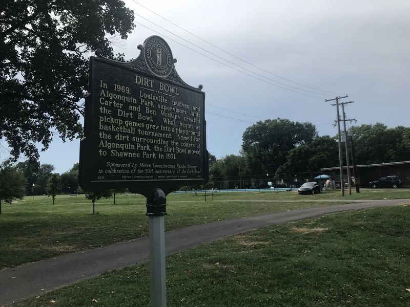
3. Algonquin Park / Dirt Bowl Marker
Credits. This page was last revised on August 19, 2026. It was originally submitted on August 9, 2022, by Duane and Tracy Marsteller of Murfreesboro, Tennessee. This page has been viewed 452 times since then and 27 times this year. Photos: 1, 2, 3. submitted on August 9, 2022, by Duane and Tracy Marsteller of Murfreesboro, Tennessee.
