Near Tiburon in Marin County, California — The American West (Pacific Coastal)
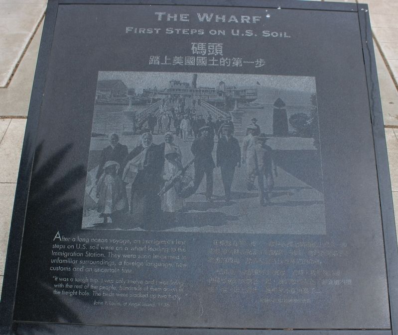
The Wharf / 碼頭
First Steps on U.S. Soil
”It was a tough trip. I was only twelve and I was living with the rest of the people, hundreds of them down in the freight hole. The beds were stacked up two high.”
John F. Louie, at Angel Island, 1936
[Chinese text not transcribed]
Topics. This historical marker is listed in these topic lists: Asian Americans • Parks & Recreational Areas.
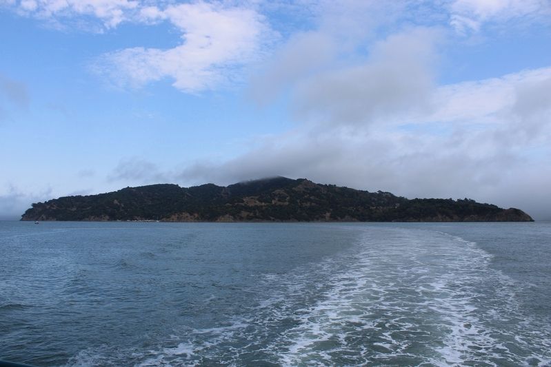
Location. 37° 52.215′ N, 122° 25.585′ W. Marker is near Tiburon, California, in Marin County. Angel Island is located north of Alcatraz Island and is the largest island in the San Francisco Bay. It is accessed by ferry, private boat, watercraft, or kayak. Touch for map. Marker is in this post office area: Belvedere Tiburon CA 94920, United States of America. Touch for directions.
Other nearby markers. At least 8 other markers are within walking distance of this marker. Arrivals from Around the World (here, next to this marker); Angel Island Immigration Station (here, next to this marker); First Occupants of the Cove (a few steps from this marker); Registration and Screening (a few steps from this marker); a different marker also named Angel Island Immigration Station (within shouting distance of this marker); Immigrations Hearings (within shouting distance of this marker); Central Heating Plant (within shouting distance of this marker); Immigration Station Staff (within shouting distance of this marker). Touch for a list and map of all markers in Tiburon.
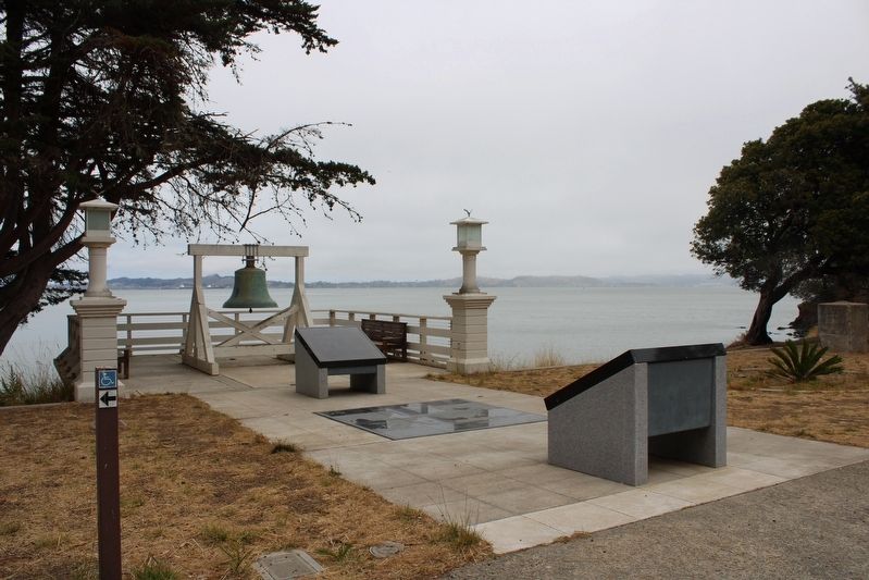
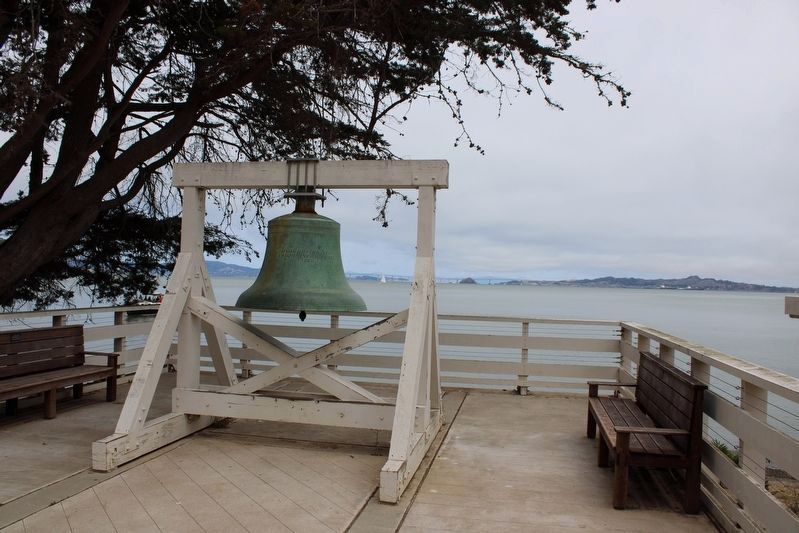
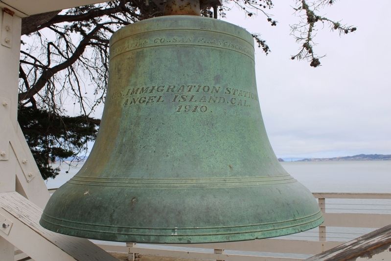
More about this marker. The black granite marker is mounted to a gray granite stand next to the bell at China Cove.
Regarding The Wharf / 碼頭. The entire island is a state park, except for Point Blunt on the southeastern tip, which is controlled by the U.S. Coast Guard.
Credits. This page was last revised on August 13, 2022. It was originally submitted on August 9, 2022, by Joseph Alvarado of Livermore, California. This page has been viewed 92 times since then and 8 times this year. Photos: 1, 2, 3, 4. submitted on August 9, 2022, by Joseph Alvarado of Livermore, California. 5. submitted on August 11, 2022, by Joseph Alvarado of Livermore, California. • Andrew Ruppenstein was the editor who published this page.
