Silver Bay in Lake County, Minnesota — The American Midwest (Upper Plains)
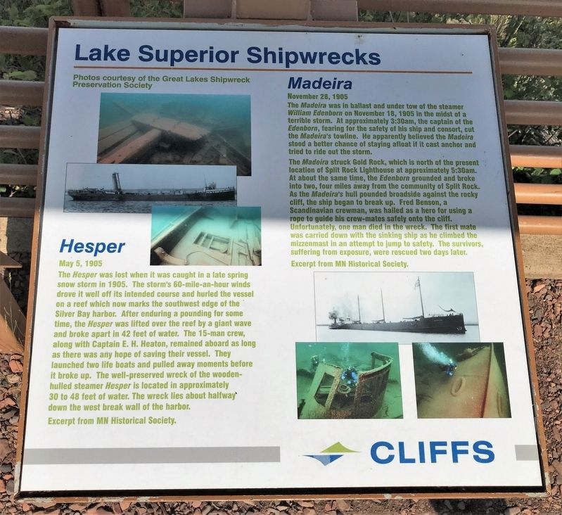
Lake Superior Shipwrecks
Photos courtesy of the Great Lakes Shipwreck Preservation Society
Hesper
May 5, 1905
The Hesper was lost when it was caught in a late spring snow storm in 1905. The storm's 60-mile-an-hour winds drove it well off its intended course and hurled the vessel on a reef which now marks the southwest edge of the Silver Bay harbor. After enduring a pounding for some time, the Hesper was lifted over the reef by a giant wave and broke apart in 42 feet of water. The 15-man crew, along with Captain E. H. Heaton, remained aboard as long as there was any hope of saving their vessel. They launched two life boats and pulled away moments before it broke up. The well-preserved wreck of the wooden hulled steamer Hesper is located in approximately 30 to 48 feet of water. The wreck lies about halfway down the west break wall of the harbor.
Excerpt from MN Historical Society.
Madeira
November 28, 1905
The Madeira was in ballast and under tow of the steamer William Edenborn on November 18, 1905 in the midst of a terrible storm. At approximately 3:30am, the captain of the Edenborn, fearing for the safety of his ship and consort, cut the Madeira's towline. He apparently believed the Madeira stood a better chance of staying afloat if it cast anchor and tried to ride out the storm.
The Madeira struck Gold Rock, which is north of the present location of Split Rock Lighthouse at approximately 5:30am. At about the same time, the Edenborn grounded and broke into two, four miles away from the community of Split Rock. As the Madeira's hull pounded broadside against the rocky cliff, the ship began to break up. Fred Benson, a Scandinavian crewman, was hailed as a hero for using a rope to guide his crew-mates safely onto the cliff.
Unfortunately, one man died in the wreck. The first mate was carried down with the sinking ship as he climbed the mizzenmast in an attempt to jump to safety. The survivors, suffering from exposure, were rescued two days later.
Excerpt from MN Historical Society.
Erected by Cliffs Natural Resources.
Topics. This historical marker is listed in this topic list: Waterways & Vessels. A significant historical date for this entry is May 5, 1905.
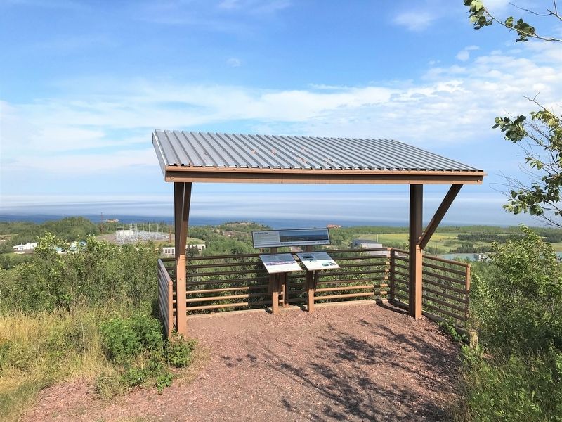
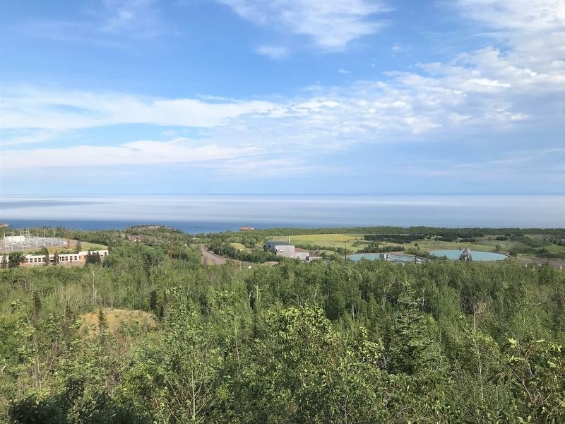
Location. 47° 17.643′ N, 91° 15.796′ W. Marker is in Silver Bay, Minnesota, in Lake County. Marker can be reached from City Shop Road, 0.3 miles south of Outer Drive, on the left when traveling east. Located at the Lake View of the Northshore Scenic Overlook in Silver Bay. Touch for map. Marker is in this post office area: Silver Bay MN 55614, United States of America. Touch for directions.
Other nearby markers. At least 8 other markers are within 8 miles of this marker, measured as the crow flies. About the City: Silver Bay, Minnesota (about 400 feet away, measured in a direct line); Northshore Mining (approx. 0.2 miles away); Taconite Mining (approx. 1.6 miles away); Historic Shipwrecks (approx. 1.6 miles away); A Modern Shipwreck (approx. 1.6 miles away); Welcome to the Silver Bay Safe Harbor/Marina (approx. 1.6 miles away); Palisade Head (approx. 2.9 miles away); Geology of the Split Rock Region (approx. 8.1 miles away). Touch for a list and map of all markers in Silver Bay.
Credits. This page was last revised on August 10, 2022. It was originally submitted on August 10, 2022. This page has been viewed 73 times since then and 10 times this year. Photos: 1, 2, 3, 4, 5. submitted on August 10, 2022.


