Near Tiburon in Marin County, California — The American West (Pacific Coastal)
A Garden Setting
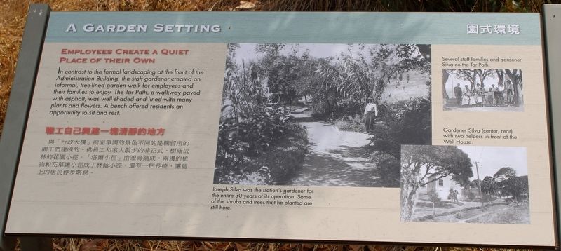
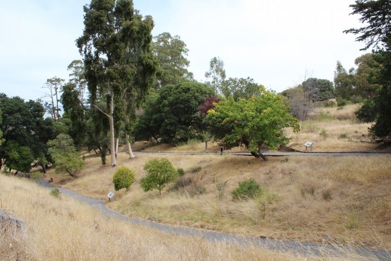
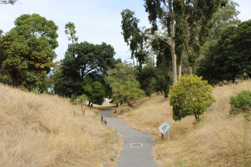
In contrast to the formal landscaping at the front of the Administration Building, the staff gardener created an informal, tree-lined garden walk for the employees and their families to enjoy. The Tar Path, a walkway paved with asphalt, was well shaded and lined with many plants and flowers. A bench offered residents an opportunity to sit and rest.
[The text repeats in Chinese]
员工创造了自己的安静场所 与行政大楼前的正式景观形成鲜明对比的是,员工园丁创造了一条非正式的绿树成荫的花园步道,供员工及其家人享用。柏油路是一条用柏油铺成的人行道,树荫很好,两旁种满了许多植物和鲜花。长凳为居民提供了坐下来休息的机会。 Yuángōng chuàngzàole zìjǐ de ānjìng chǎngsuǒ yǔ xíngzhèng dàlóu qián de zhèngshì jǐngguān xíngchéng xiānmíng duìbǐ de shì, yuángōng yuándīng chuàngzàole yītiáo fēi zhèngshì de lǜ shù chéng yīn de huāyuán bùdào, gōng yuángōng jí qí jiārén xiǎngyòng. Bóyóu lù shì yītiáo yòng bóyóu pù chéng de rénxíngdào, shù yīn hěn hǎo, liǎngpáng zhǒng mǎnle xǔduō zhíwù hé xiānhuā. Cháng dèng wèi jūmín tígōngle zuò xiàlái xiūxí de jīhuì.
Caption One:
Joseph Silva was the station’s gardener for the entire 30 years of its operation. Some of the shrubs and trees that he planted are still here.
Caption Two:
Several staff families and gardener Silva on the Tar Path.
Caption Three:
Gardener Silva (center, rear) with two helpers in front of the Well House.
Topics. This historical marker is listed in these topic lists: Horticulture & Forestry • Parks & Recreational Areas.
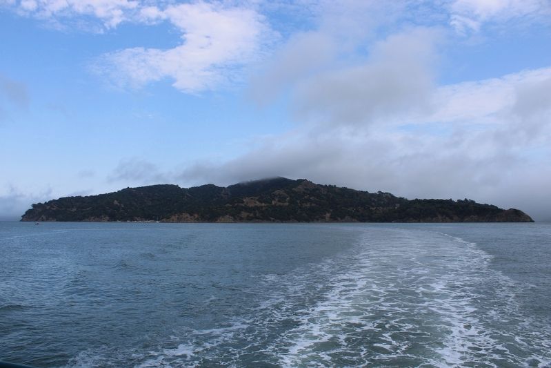
Location. 37° 52.095′ N, 122° 25.524′ W. Marker is near Tiburon, California, in Marin County. Angel Island is located north of Alcatraz Island and is the largest island in the San Francisco Bay. It is accessed by ferry, private boat, watercraft, or kayak. Touch for map. Marker is in this post office area: Belvedere Tiburon CA 94920, United States of America. Touch for directions.
Other nearby markers. At least 8 other markers are within walking distance of this marker. Staff Housing (a few steps from this marker); Mule Barn (within shouting distance of this marker); US Immigration Station (within shouting distance of this marker); Water Reservoir (about 300 feet away, measured in a direct line); The Post Expands (about 300 feet away); Asian Men's Recreation Yard (about 400 feet away); Hospital (about 500 feet away); Segregation and Separation (about 600 feet away). Touch for a list and map of all markers in Tiburon.
More about this marker. The resin marker is mounted to a metal stand on the path between the mule barn and water reservoir.
Regarding A Garden Setting. The entire island is a state park, except for Point Blunt on the southeastern tip, which is controlled by the U.S. Coast Guard.
Also see . . . Creation of the Park.
"The movement to make the island into a public park got underway in 1947 and 1948, after the federal government declared it surplus property. A thorough study of the island's historical background was carried out by the National Park Service, and in 1954, after various delays, a number of citizens' groups managed to persuade the State Park Commission to acquire about 37 acres surrounding Ayala Cove."(Submitted on August 12, 2022, by Joseph Alvarado of Livermore, California.)
Credits. This page was last revised on August 26, 2022. It was originally submitted on August 10, 2022, by Joseph Alvarado of Livermore, California. This page has been viewed 111 times since then and 11 times this year. Photos: 1, 2, 3, 4. submitted on August 10, 2022, by Joseph Alvarado of Livermore, California. • Syd Whittle was the editor who published this page.


