Santa Cruz in Santa Cruz County, California — The American West (Pacific Coastal)
Site of Santa Cruz Mission
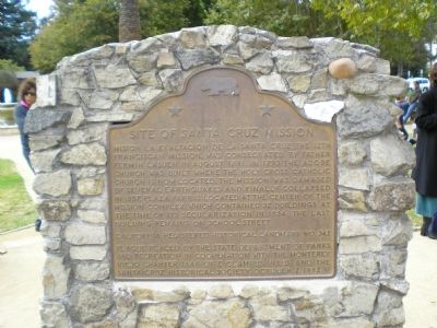
Inscription.
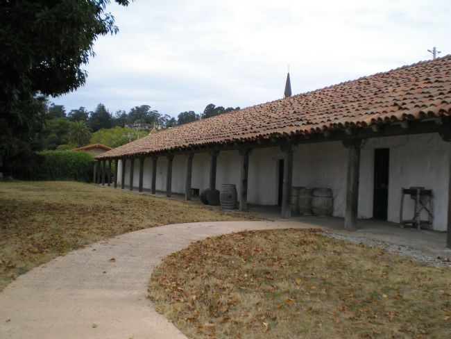
Misión La Exaltación de la Santa Cruz, the 12th Franciscan mission, was consecrated by Father Fermín Lasuen in August 1791. In 1793 the adobe church was built where the Holy Cross Catholic Church is now located. The mission was damaged by several earthquakes and finally collapsed in 1857. Plaza Park is located at the center of the mission complex which contained 32 buildings at the time of its secularization in 1834; the last building remains on School Street.
Erected 1939 by California State Department of Parks & Recreation in cooperation with the Monterey Viejo Chapter 1846, E. Clampus Vitus & the Santa Cruz Historical Society. (Marker Number 342.)
Topics and series. This historical marker is listed in these topic lists: Churches & Religion • Native Americans • Notable Buildings. In addition, it is included in the California Historical Landmarks, and the E Clampus Vitus series lists. A significant historical year for this entry is 1791.
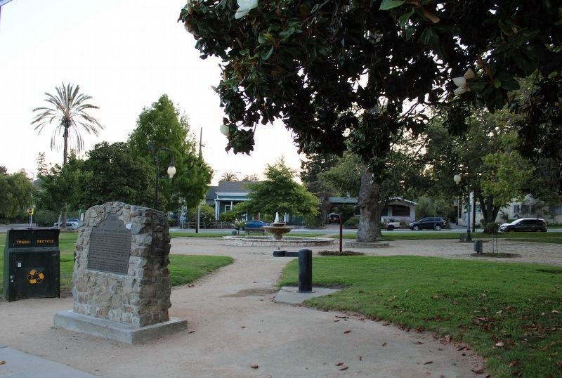
Location. 36° 58.677′ N, 122° 1.79′ W. Marker is in Santa Cruz, California, in Santa Cruz County. Marker is at the intersection of Emmett Street and School Street, on the left when traveling east on Emmett Street. State Historic Landmarks plaque located in Plaza Park at the intersection of Emmet & School Streets. Mission entrance at the intersection of School & Adobe Streets. Touch for map. Marker is in this post office area: Santa Cruz CA 95060, United States of America. Touch for directions.
Other nearby markers. At least 8 other markers are within walking distance of this marker. Mission Santa Cruz (within shouting distance of this marker); "El Camino Real" (within shouting distance of this marker); Francisco Alzina House (within shouting distance of this marker); Willey House (within shouting distance of this marker); Site of the Original Native American Cemetery Wall (within shouting distance of this marker); Davis House (about 400 feet away, measured in a direct line); The First Methodist (about 500 feet away); Louden Nelson (about 500 feet away). Touch for a list and map of all markers in Santa Cruz.
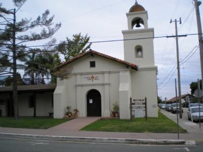
Regarding Site of Santa Cruz Mission. Mission Church is ½ size reconstruction of the original church built in 1931 to replace the original severly damaged in 1840 by earthquake.
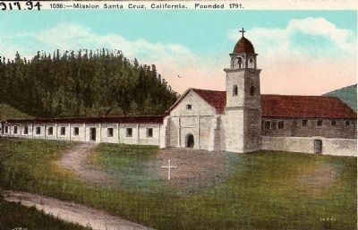
Published by M. Kashower Co., Los Angeles, Cal.
5. Vintage Postcard - Mission Santa Cruz Founded 1791
Santa Cruz Mission was founded in the same year as Mission "La Soledad", 1791 and is located near the city of Santa Cruz. In January, 1840, an earthquake and tidal wave parially destroyed the building. The final disaster occurred in 1851 when the walls fell. The Mission has now entirely disappeared.
Credits. This page was last revised on August 29, 2022. It was originally submitted on September 7, 2007, by Mathew H. Kohnen of San Jose, California. This page has been viewed 8,801 times since then and 63 times this year. Last updated on August 11, 2022, by Joseph Alvarado of Livermore, California. Photos: 1. submitted on September 7, 2007, by Mathew H. Kohnen of San Jose, California. 2. submitted on August 11, 2022, by Joseph Alvarado of Livermore, California. 3, 4. submitted on September 7, 2007, by Mathew H. Kohnen of San Jose, California. 5. submitted on September 26, 2008, by Syd Whittle of Mesa, Arizona. • Syd Whittle was the editor who published this page.
