Near Tiburon in Marin County, California — The American West (Pacific Coastal)
Fort McDowell South
Whiling Away the Hours
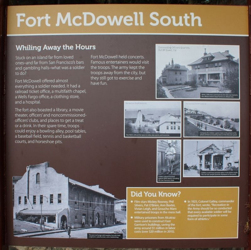
Stuck on an island far from loved ones – and far from San Francisco’s bars and gambling halls – what was a soldier to do?
Fort McDowell offered almost everything a soldier needed. It had a railroad ticket office, a multifaith chapel, a Wells Fargo office, a clothing store, and a hospital.
The fort also boasted a library, a movie theater, officers’ and noncommissioned officers’ clubs, and places to get a treat or a drink. In their spare time, troops could enjoy a bowling alley, pool tables, a baseball field, tennis and basketball courts, and horseshoe pits.
Fort McDowell held concerts. Famous entertainers would visit the troops. The army kept the troops away from the city, but they still got to exercise and have fun.
Did You Know?
• Film stars Mickey Rooney, Phil Silvers, Pat O’Brien, Ann Baxter, Vivian Leigh, and Groucho Marx entertained the troops in the mess hall.
• Military prisoners from Alcatraz were used to construct East Garrison’s buildings, saving the army around $1 million in labor costs (over $20 million in 2015).
• In 1925, Colonel Gatley, commander of the fort, wrote, “Recreation in the Army should be so conducted that every available soldier will be required to participate in some form of athletics.”
Caption One: The post exchange sold supplies, but also held a taproom, soda fountain, and a barbershop.
Caption Two: While 1,000 men crammed into the 600-man barracks, the officers lived in large homes on officers’ row.
Caption Three: The YMCA offered the space to relax, play sports, and exercise.
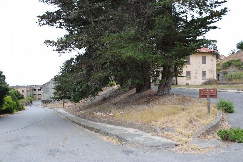
Caption Four: Compare the midsize cypress trees in this photo to the photo of them as towering on the Discover panel.
Caption Five: Soldiers played baseball against other teams, including the San Francisco Seals.
Caption Six: Soldiers could have portraits taken in the photo studio. You can see sample portraits displayed on the porch.
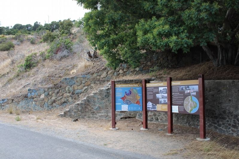
Right Panel
Discover
Overtaken by Time
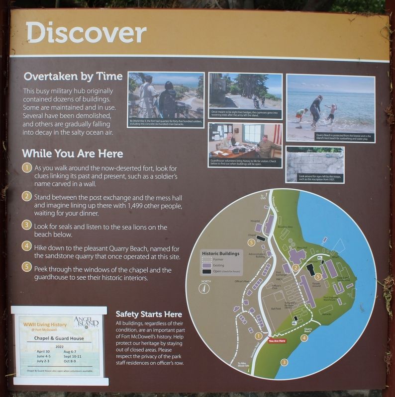
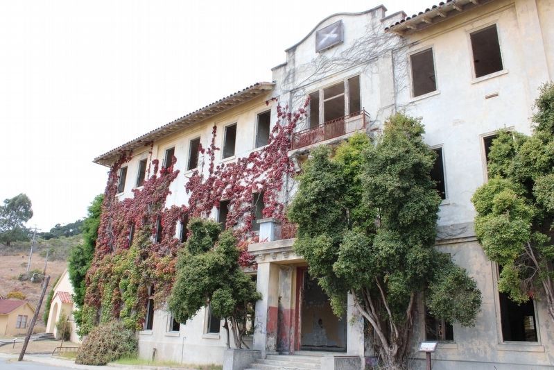
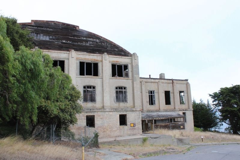
The busy military hub originally contained dozens of buildings. Some are maintained an in use. Several have been demolished, and others are gradually falling into decay in the salty ocean air.
While You Are Here
1. As you walk around the now-deserted fort, look for clues linking its past and present, such as a soldier’s name carved in a wall.
2. Stand between the post exchange and the mess hall and imagine lining up there with 1,499 other people, waiting for your dinner.
3. Look for seals and listen for sea lions on the beach below.
4. Hike down to the pleasant Quarry Beach, named for the sandstone quarry that once operated at this site.
5. Peek through the windows of the chapel and the guardhouse to see their historic interiors.
Safety Starts Here
All buildings, regasrdless of their condition, are an important part of Fort McDowell’s history. Help protect our heritage by staying out of closed areas. Please respect the privacy of the park staff residences on officer’s row.
Left Panel
Angel Island State Park
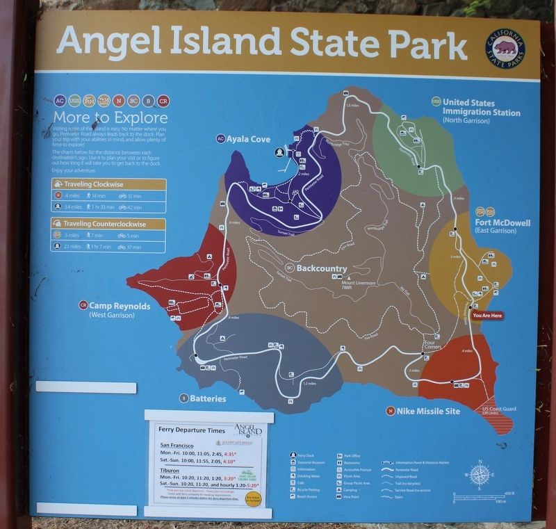
(map)
Erected by Calfiornia Department of Parks & Recreation.
Topics. This historical marker is listed in these topic lists: Parks & Recreational Areas • War, World II. A significant historical year for this entry is 1925.
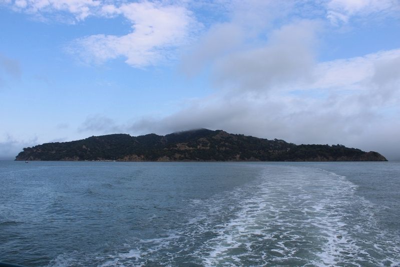
Location. 37° 51.593′ N, 122° 25.305′ W. Marker is near Tiburon, California, in Marin County. Angel Island is located north of Alcatraz Island and is the largest island in the San Francisco Bay. It is accessed by ferry, private boat, watercraft, or kayak. Touch for map. Marker is in this post office area: Belvedere Tiburon CA 94920, United States of America. Touch for directions.
Other nearby markers. At least 8 other markers are within walking distance of this marker. Play Games (within shouting distance of this marker); 600 Bunkmates (approx. 0.2 miles away); Guarding the Post (approx. 0.2 miles away); Fort McDowell’s General Store (approx. 0.2 miles away); Over 12,000 Meals a Day Served (approx. 0.2 miles away); Processing People and Paper (approx. 0.2 miles away); Ministering to all Faiths (approx. ¼ mile away); Supplying the Troops (approx. ¼ mile away). Touch for a list and map of all markers in Tiburon.
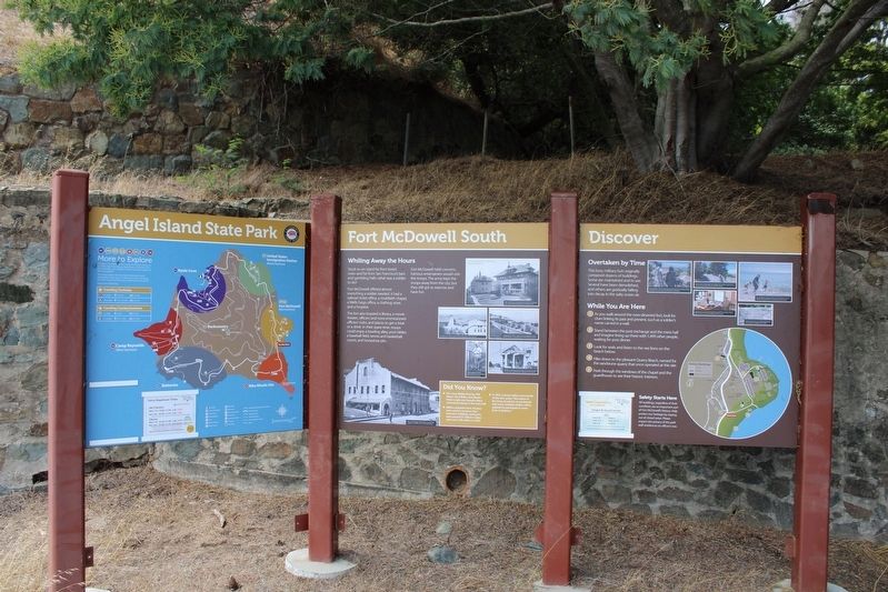
More about this marker. The three panels are mounted between four metal posts at the south end of Fort McDowell.
Regarding Fort McDowell South. The entire island is a state park, except for Point Blunt on the southeastern tip, which is controlled by the U.S. Coast Guard.
Also see . . . US Army on the Island.
"The reason for much of this activity was that from 1900 to 1941, the only U. S. military bases outside the continental United States were in the Pacific (the Philippines, Hawaii, the Panama Canal Zone, etc.) and Fort McDowell was the nation's only military overseas processing station. Because of this overseas orientation, the ordinary, routine military life of the fort acquired a unique and distinctly international atmosphere."(Submitted on August 12, 2022, by Joseph Alvarado of Livermore, California.)
Credits. This page was last revised on August 29, 2022. It was originally submitted on August 11, 2022, by Joseph Alvarado of Livermore, California. This page has been viewed 103 times since then and 20 times this year. Photos: 1, 2, 3, 4, 5. submitted on August 11, 2022, by Joseph Alvarado of Livermore, California. 6, 7, 8. submitted on August 26, 2022, by Joseph Alvarado of Livermore, California. 9. submitted on August 11, 2022, by Joseph Alvarado of Livermore, California. • Syd Whittle was the editor who published this page.
