
Near Beausejour in Brokenhead Municipality, Manitoba — Canada’s Prairie Region (North America)
The Saints Peter & Paul Parish Community
Photographed by Rev. Ronald Irick, July 18, 2022
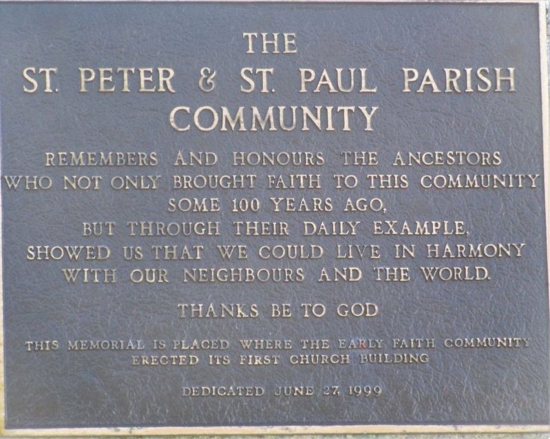
1. The Saints Peter & Paul Parish Community Marker
The Saints Peter & Paul Parish Community remembers and honors the ancestors who not only brought faith to this community some 100 years ago, but through their daily example showed us that we could live in harmony with our neighbours and the world.
Thanks Be To God
This memorial is placed where the early faith community erected its first church building
Erected 1999.
Topics. This historical marker is listed in these topic lists: Religion & Religious Structures • Settlements & Settlers. A significant historical year for this entry is 1899.
Location. 50° 11.242′ N, 96° 29.819′ W. Marker is near Beausejour, Manitoba, in Brokenhead Municipality. It is on Provincial Highway 12, on the right when traveling north. Marker is in the Romanian Catholic Cemetery on MB-12 between Rd Mile 80 and Rd Mile 81 North of Lakewood. Touch for map. Marker is in this post office area: Beausejour MB R0E 0C0, Canada. Touch for directions.

Regionally, this marker is in Eastern Manitoba. It is also in the Prairies. Globally, it is in North America, the Western Hemisphere, the Western World, and the Anglosphere. Historically,
this page online
Other nearby markers. At least 4 other markers are within 13 kilometers of this marker, measured as the crow flies: Holy Trinity Ukrainian Catholic Church (approx. 5.8 kilometers away); Dencross Manitoba (approx. 8.9 kilometers away); St. Thomas the Apostle Roman Catholic Church (1936 - 1994) (approx. 9.7 kilometers away); St. John the Baptist Ukrainian Catholic Church (approx. 12.7 kilometers away).
Photographed by Rev. Ronald Irick, July 18, 2022
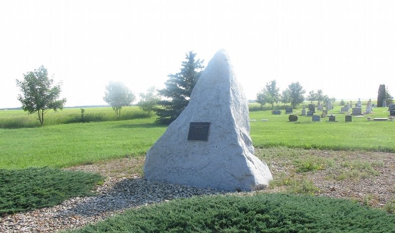
2. The Saints Peter & Paul Parish Community Marker
Photographed by Rev. Ronald Irick, July 18, 2022
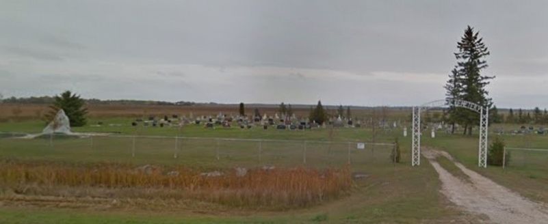
3. The Saints Peter & Paul Parish Community Marker
the marker, at far left; the cemetery, and the gate on Rt 12
Credits. This page was last revised on March 16, 2026. It was originally submitted on August 12, 2022, by Rev. Ronald Irick of West Liberty, Ohio. This page has been viewed 152 times since then and 25 times this year. Photos: 1, 2, 3. submitted on August 12, 2022, by Rev. Ronald Irick of West Liberty, Ohio. • Andrew Ruppenstein was the editor who published this page.
