West Bend in Clarke County, Alabama — The American South (East South Central)
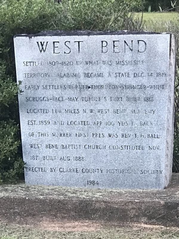
West Bend
Erected 1984 by Clarke County Historical Society.
Topics. This historical marker is listed in these topic lists: Churches & Religion • Education • Settlements & Settlers. A significant historical year for this entry is 1809.
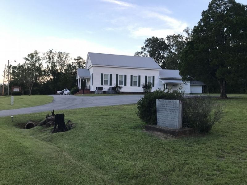
Location. 31° 49.396′ N, 88° 7.897′ W. Marker is in West Bend, Alabama, in Clarke County. Marker is on West Bend Road (County Route 31) north of Jamestown Lane, on the right when traveling north. Touch for map. Marker is at or near this postal address: 5024 W Bend Rd, Coffeeville AL 36524, United States of America. Touch for directions.
Other nearby markers. At least 8 other markers are within 13 miles of this marker, measured as the crow flies. Ulcanush Baptist Church (approx. 4.1 miles away); Little Place Cemetery / Mt. Pleasant Baptist Church Womack Hill Community (approx. 4˝ miles away); Clarke-Washington Electric Membership Corporation (approx. 5.4 miles away); Springhill Missionary Baptist Church Cemetery (approx. 8.3 miles away); The Mitchell Reserve (approx. 8.8 miles away); Creek Indian War (approx. 10˝ miles away); Sims Cemetery (approx. 10.7 miles away); Silas Elementary School (approx. 12.2 miles away).
Credits. This page was last revised on August 12, 2022. It was originally submitted on August 12, 2022, by Duane and Tracy Marsteller of Murfreesboro, Tennessee. This page has been viewed 164 times since then and 36 times this year. Photos: 1, 2. submitted on August 12, 2022, by Duane and Tracy Marsteller of Murfreesboro, Tennessee.

