Montjuïc in Barcelona, Catalonia, Spain — Southwestern Europe (Iberian Peninsula)
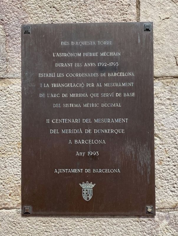
Méchain Etablí les Coordenades de Barcelona / Méchain Establishes the Coordinates of Barcelona
Inscription.
l'astronom Pierre Méchain
durant els anys 1792-1795
establí les coordenades de Barcelona
i la triangulació per al mesurament
de l'arc de meridia que serví de base
del sistema mètric decimal
II centenari del mesurament
del meridià de Dunkerque
a Barcelona
Any 1993
From this tower during the years 1792-1795 the astronomer Pierre Méchain established the coordinates of Barcelona, and through triangulation determined the arc of the meridian that served as the base of the Metric System.
On the second centenary of the measurement of the meridian from Dunkirk to Barcelona, in the year 1993
Erected 1993 by Ajuntament de Barcelona.
Topics. This historical marker is listed in this topic list: Science & Medicine.
Location. 41° 21.817′ N, 2° 9.991′ E. Marker is in Barcelona, Cataluña (Catalonia). It is in Montjuïc. Marker is on Carretera de Montjuïc. Touch for map. Marker is in this post office area: Barcelona, Cataluña 08038, Spain. Touch for directions.
Other nearby markers. At least 8 other markers are within walking distance of this marker. La torre de guaita / The Watchtower / La torre vigia / La tour de guet (a few steps from this marker); El juidici del President Lluís Companys / The Trial of President Lluís Companys (within shouting distance of this marker); El pati d’armes o quadrat / The parade ground or courtyard (within shouting distance of this marker); El Pont d’accés i la façana / The Entrance Bridge and the Façade (within shouting distance of this marker); Montjuic Castle (within shouting distance of this marker); L'antic fortí / The early fort (within shouting distance of this marker); Els calabossos del Castell / The Castle Dungeons / Los Calabozos del Castillo (within shouting distance of this marker); El baluard de Sant Carles / The Sant Carles Bastion / El baluarte de Sant Carles (within shouting distance of this marker). Touch for a list and map of all markers in Barcelona.
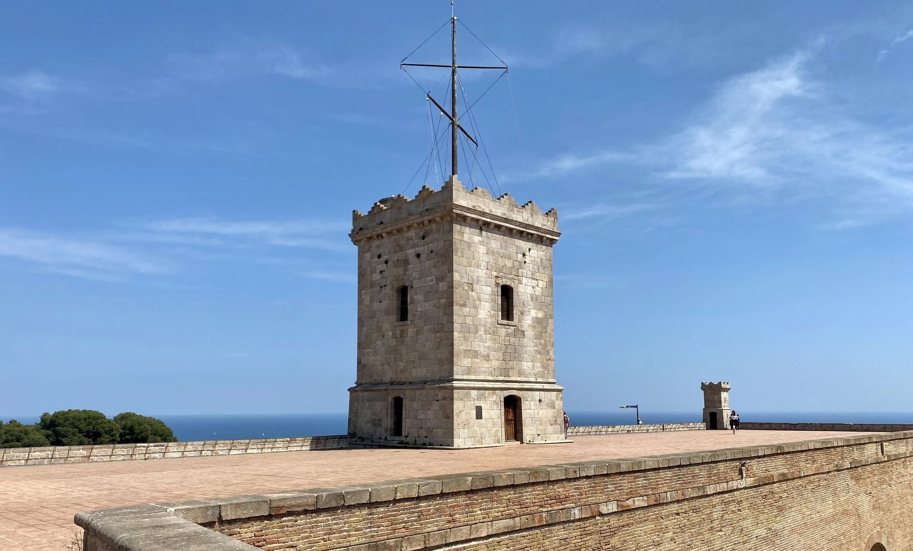
More about this marker. The marker is mounted to the tower on top of Montjuic Castle.
Also see . . . Pierre Méchain (Wikipedia).
Excerpt: "Pierre François André Méchain (16 August 1744 – 20 September 1804) was a French astronomer and surveyor who, with Charles Messier, was a major contributor to the early study of deep-sky objects and comets....but his most important mapping work was geodetic: the determination of the southern part of the meridian arc of the Earth's surface between Dunkirk and Barcelona beginning in 1791. This measurement would become the basis of the metric system's unit of length, the meter. He encountered numerous difficulties on this project, largely stemming from the effects of the French Revolution....A particularly intriguing fact about this project was that Méchain was uncertain of the precision of his measurements owing to anomalous results in verifying his latitude by astronomical observation. Ultimately, the distance from the pole to the equator, which Méchain and his associate Jean Baptiste Joseph Delambre had intended to be exactly ten million meters (or ten thousand kilometres), was determined in the late 20th century by space satellites to be 10,002,290 meters. This small error of 2,290 meters equals 1.423 statute miles; the error in such a large measurement amounts to 14½ inches per statute mile. It represents in each meter an error of approximately 0.23 millimetres – slightly more than the width of a single strand of human hair. This discrepancy is sometimes mentioned as "Méchain's error", with the suggestion that the tiny variation in the length of the meridian (not detected for nearly two hundred years) can be attributed to Méchain's calculations. But analysis of Méchain's figures reveals that Méchain consistently kept the discrepancy very tiny, essentially forcing his individual reported measurements to appear more precise and consistent than would be reasonably expected of a survey involving more than a hundred measurements of mostly rough country using 18th century equipment; Méchain's putative error did not affect the final value of the length of the meter nor the measurement of the meridian...."(Submitted on August 13, 2022.)
Credits. This page was last revised on February 3, 2023. It was originally submitted on August 13, 2022, by Andrew Ruppenstein of Lamorinda, California. This page has been viewed 203 times since then and 26 times this year. Photos: 1, 2. submitted on August 13, 2022, by Andrew Ruppenstein of Lamorinda, California.

