Cape Charles in Northampton County, Virginia — The American South (Mid-Atlantic)
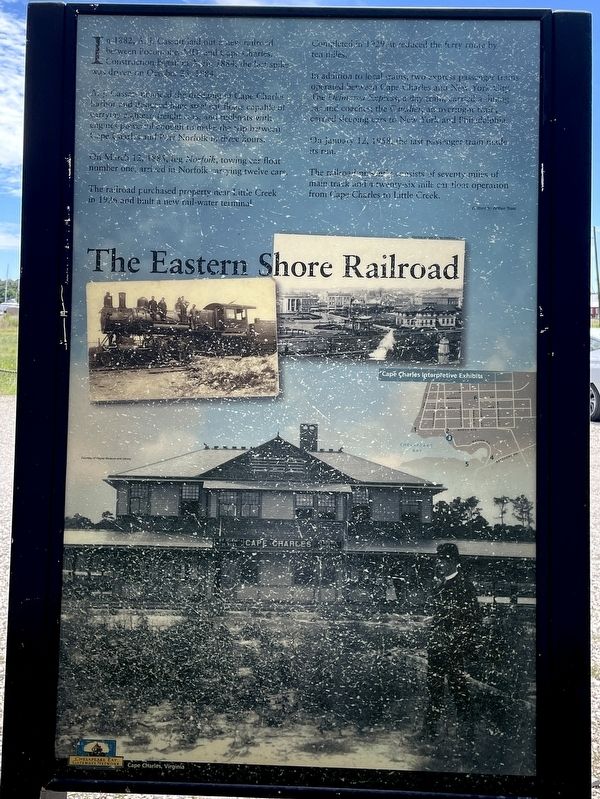
The Eastern Shore Railroad
A.J. Cassatt enhanced the dredging of Cape Charles harbor and designed huge steel car floats capable of carrying eighteen freight cars, and tugboats with engines powerful enough to make the trip between Cape Charles and Port Norfolk in three hours.
On March 12, 1885, tug Norfolk, towing car float number one, arrived in Norfolk carrying twelve cars.
The railroad purchased property near Little Creek in 1926 and built a new rail-water terminal. Completed in 1929, it reduced the ferry route by ten miles.
In addition to local trains, two express passenger trains operated between Cape Charles and New York City. The Delmarva Express, a day train carried a dining car and coaches, the Cavalier, an overnight train, carried sleeping cars to New York and Philadelphia.
On January 12, 1958, the last passenger train made its run.
The railroad presently consists of seventy miles of main track and a twenty-six mile car float operation from Cape Charles to Little Creek.
Written by Arthur Tross
(captions)
Cape Charles Interpretive Exhibits
Courtesy of Cape Charles Historical Society
Courtesy of Hagley Museum and Library
Erected by Chesapeake Bay Gateways Network.
Topics. This historical marker is listed in these topic lists: Industry & Commerce • Railroads & Streetcars • Waterways & Vessels. A significant historical date for this entry is October 25, 1884.
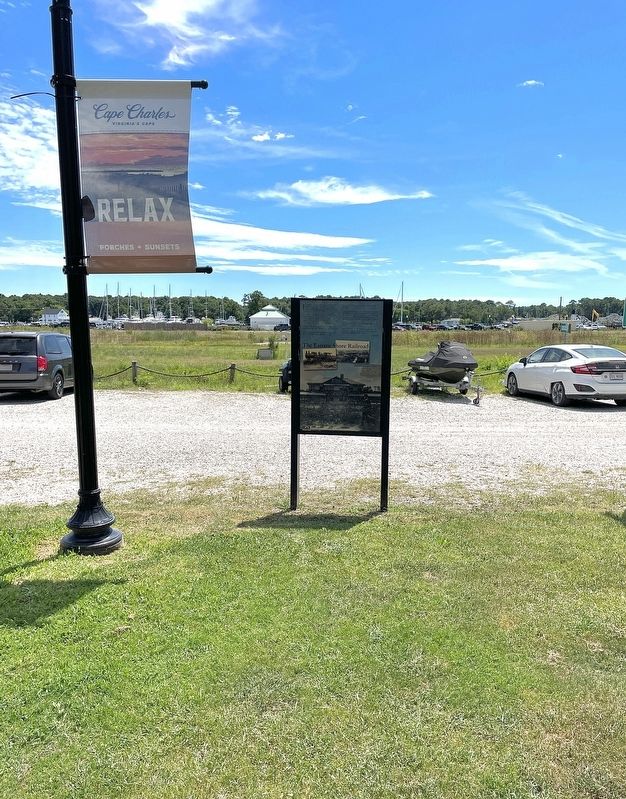
Location. 37° 16.004′ N, 76° 1.056′ W. Marker is in Cape Charles, Virginia, in Northampton County. Marker is at the intersection of Mason Avenue (Virginia Route 184) and Strawberry Street, on the left when traveling west on Mason Avenue. Touch for map. Marker is in this post office area: Cape Charles VA 23310, United States of America. Touch for directions.
Other nearby markers. At least 8 other markers are within walking distance of this marker. Veterans War Memorial (about 500 feet away, measured in a direct line); Cape Charles to Little Creek (about 500 feet away); Cape Charles Ice & Lumber Co. (about 800 feet away); The Chesapeake Bay Impact Crater (approx. 0.3 miles away); Rails Overlooking the Chesapeake Bay (approx. 0.3 miles away); A Changing Way of Life... (approx. 0.3 miles away); Cape Charles Colored School (approx. half a mile away); Cape Charles (approx. half a mile away). Touch for a list and map of all markers in Cape Charles.
Also see . . .
1. The Eastern Shore Railroad. (Submitted on August 14, 2022, by Brandon D Cross of Flagler Beach, Florida.)
2. Chesapeake Bay Gateways. National Park Service (Submitted on August 15, 2022.)
Credits. This page was last revised on August 15, 2022. It was originally submitted on August 14, 2022, by Brandon D Cross of Flagler Beach, Florida. This page has been viewed 156 times since then and 22 times this year. Photos: 1, 2. submitted on August 14, 2022, by Brandon D Cross of Flagler Beach, Florida. • Bernard Fisher was the editor who published this page.

