Clarion in Clarion County, Pennsylvania — The American Northeast (Mid-Atlantic)
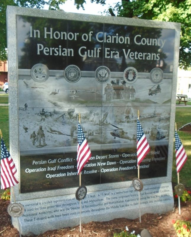
In Honor of Clarion County Persian Gulf Era Veterans
Photographed by William Fischer, Jr., August 15, 2022
1. In Honor of Clarion County Persian Gulf Era Veterans Monument
Operation Iraqi Freedom - Operation New Dawn - Operation Enduring Freedom
Operation Inherent Resolve - Operation Freedom's Sentinel
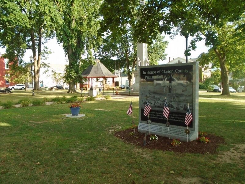
This memorial is a scaled representation of a Bremer T-Wall. A "T-Wall" is a twelve-foot-high portable, steel-reinforced concrete wall used for blast protection throughout Iraq and Afghanistan. The name originated from L. Paul Bremer of the Coalition Provisional Authority, who was the Director of Reconstruction and Humanitarian Assistance following the Iraq War of 2003. These T-shaped walls have been used commonly throughout the Middle East due to their strength and modular nature.
Topics. This memorial is listed in these topic lists: Patriots & Patriotism • War, 1st Iraq & Desert Storm • War, 2nd Iraq • War, Afghanistan. A significant historical year for this entry is 2003.
Location. 41° 12.889′ N, 79° 23.18′ W. Memorial is in Clarion, Pennsylvania, in Clarion County. It is on Main Street (U.S. 322) west of 5th Avenue (Pennsylvania Route 68), on the left when traveling west. Monument is in Clarion County
this page online

Regionally, this memorial is in Northwestern Pennsylvania and specifically in the Pennsylvania Wilds. It is also in the American Northeast, in the Mid-Atlantic, in Appalachia, and specifically in Northern Appalachia. Globally, it is in North America, the Western Hemisphere, the Western World, and the Anglosphere. Historically, it finds itself in what was once the Haudenosaunee (Iroquois) Confederacy and also one of the original Thirteen Colonies.
Other nearby markers. At least 8 other markers are within walking distance of this marker: Vietnam Combat Veterans Memorial "Watch Fire" Ashes (a few steps from this marker); Clarion County Civil War Soldier's Monument (a few steps from this marker); Clarion County Remembers World War II (within shouting distance of this marker); Clarion County Vietnam Veterans Memorial (within shouting distance of this marker); Korea Veterans Memorial (within shouting distance of this marker); World War Memorial (within shouting
Photographed by William Fischer, Jr., August 14, 2022
2. In Honor of Clarion County Persian Gulf Era Veterans Monument
Photographed by William Fischer, Jr., August 14, 2022
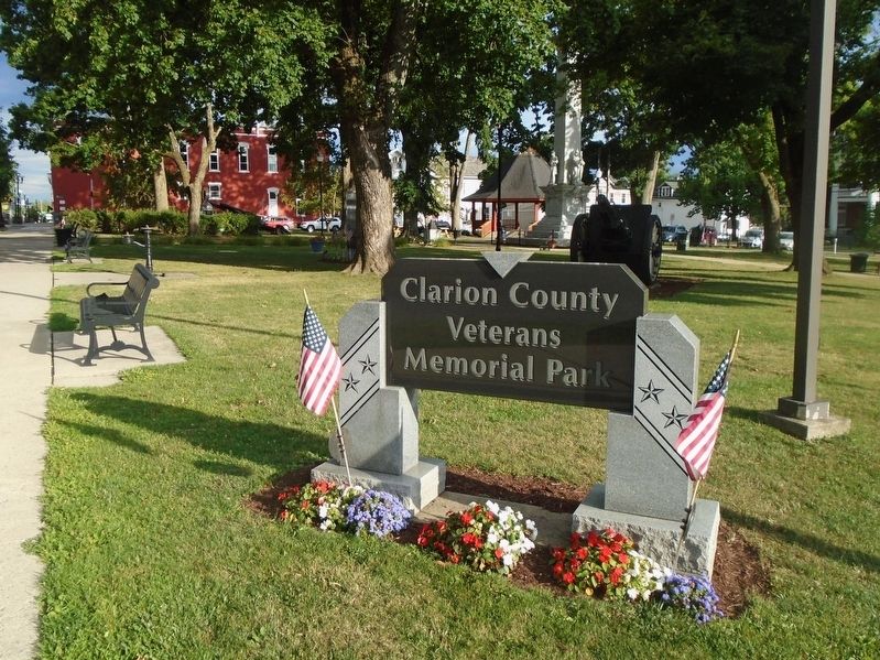
3. Clarion County Veterans Memorial Park
Credits. This page was last revised on August 16, 2022. It was originally submitted on August 16, 2022, by William Fischer, Jr. of Reynoldsburg, Ohio. This page has been viewed 275 times since then and 20 times this year. Photos: 1, 2. submitted on August 16, 2022, by William Fischer, Jr. of Reynoldsburg, Ohio. 3. submitted on August 15, 2022, by William Fischer, Jr. of Reynoldsburg, Ohio.
