Somerset in Somerset County, Pennsylvania — The American Northeast (Mid-Atlantic)
Coffee Springs Farm
1782-1790
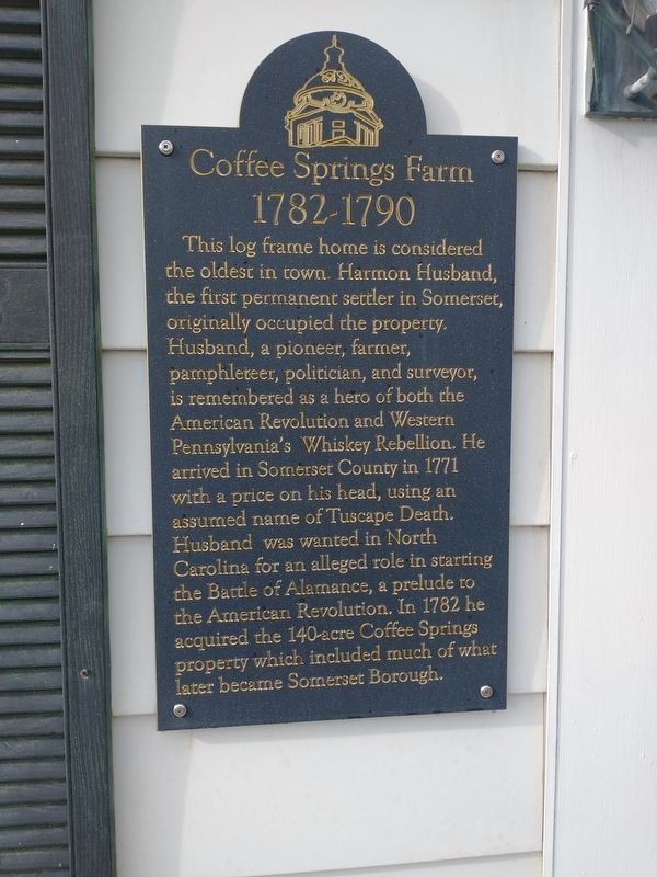
Photographed by Craig Doda, July 23, 2022
1. Coffee Springs Farm Marker
Topics. This historical marker is listed in these topic lists: Architecture • Settlements & Settlers • War, US Revolutionary. A significant historical year for this entry is 1771.
Location. 40° 0.407′ N, 79° 4.108′ W. Marker is in Somerset, Pennsylvania, in Somerset County. It is on East Main Street, on the right when traveling east. Touch for map. Marker is at or near this postal address: 555 E Main St, Somerset PA 15501, United States of America.
this page online

Regionally, this marker is in Pennsylvania’s Laurel Highlands. It is also in the American Northeast, in the Mid-Atlantic, in Appalachia, and specifically in Northern Appalachia. Globally, it is in North America, the Western Hemisphere, the Western World, and the Anglosphere. Historically, it finds itself in what was once the Haudenosaunee (Iroquois) Confederacy and also one of the original Thirteen Colonies.
Other nearby markers. At least 8 other markers are within walking distance of this marker: Harmon Husband (a few steps from this marker); George R. Scull House (approx. half a mile away); The G. Henry Cook Enrichment Center (approx. half a mile away); Ogle/Scull House (approx. half a mile away); Saint Paul's Presbyterian Church (approx. half a mile away); County Jail & Sheriff's Residence (approx. half a mile away); 142nd Pennsylvania Volunteer Infantry (approx. half a mile away); J. Warren Jacobs (approx. half a mile away). Touch for a list and map of all markers in Somerset.
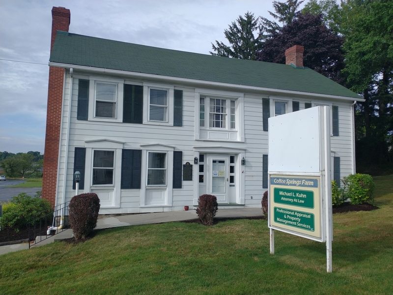
Photographed by Craig Doda, July 23, 2022
2. Coffee Springs Farm
Credits. This page was last revised on August 18, 2022. It was originally submitted on August 16, 2022, by Craig Doda of Napoleon, Ohio. This page has been viewed 1,129 times since then and 99 times this year. Photos: 1, 2. submitted on August 16, 2022, by Craig Doda of Napoleon, Ohio. • Bill Pfingsten was the editor who published this page.
