Tiburon in Marin County, California — The American West (Pacific Coastal)
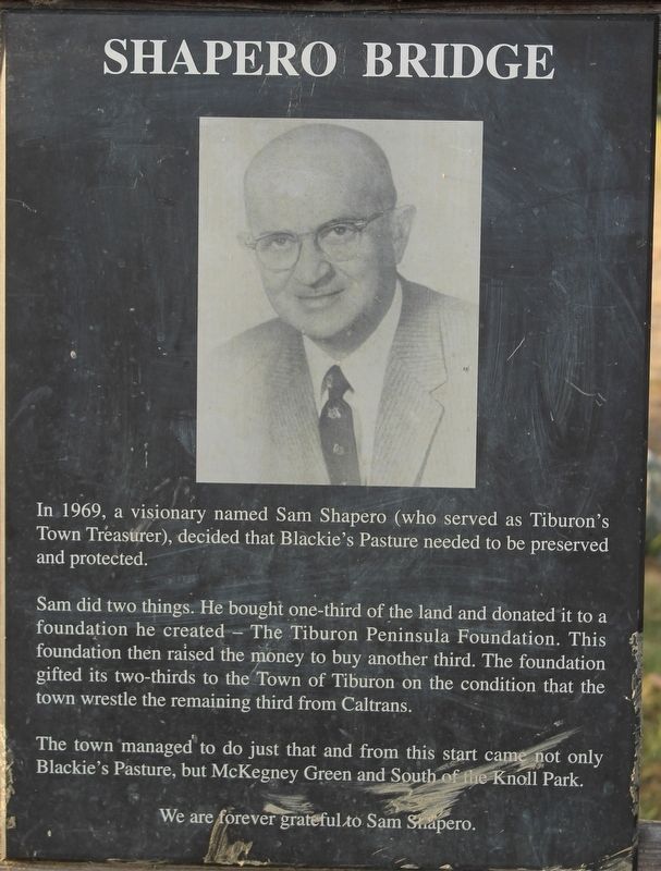
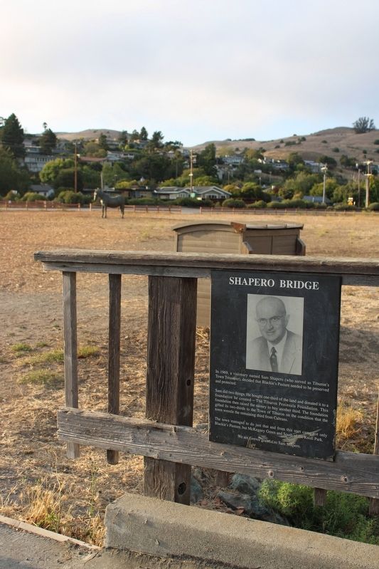
Shapero Bridge
Sam did two things. He bought one-third of the land and donated it to a foundation he created – The Tiburon Peninsula Foundation. This foundation then raised the money to buy another third. The foundation gifted its two-thirds to the Town of Tiburon on the condition that the town wrestle the remaining third from Caltrans.
The town managed to do just that and from this start came not only Blackie’s Pasture, but McKegney Green and South of the Knoll Park.
We are forever grateful to Sam Shapero.
Topics. This historical marker is listed in these topic lists: Bridges & Viaducts • Charity & Public Work • Parks & Recreational Areas. A significant historical year for this entry is 1969.
Location. 37° 53.754′ N, 122° 29.361′ W. Marker is in Tiburon, California, in Marin County. The metal marker is mounted to the Shapero Bridge at the south end of Blackie's Pasture. Blackie's Pasture can be reached from Blackies Pasture Road and Tiberon Boulevard. Touch for map. Marker is in this post office area: Belvedere Tiburon CA 94920, United States of America. Touch for directions.
Other nearby markers. At least 8 other markers are within walking distance of this marker. Saving and Protecting Our Bay (within shouting distance of this marker); The Trestle and Blackie's Pasture (within shouting distance of this marker); Welcome to Trestle Trail (about 500 feet away, measured in a direct line); History of the Tiburon Trestle (about 600 feet away); Tiburon's Railroad History (about 600 feet away); Feed Lot For Oysters (approx. ¼ mile away); Del Mar (approx. 0.4 miles away); Railroad Gives Way to Strollers, Cyclists and Joggers (approx. one mile away). Touch for a list and map of all markers in Tiburon.
Also see . . . Tiburon Peninsula Foundation.
"The Tiburon Peninsula Foundation contributes to the sense of community on the Tiburon Peninsula."(Submitted on August 17, 2022, by Joseph Alvarado of Livermore, California.)

Photographed By Joseph Alvarado, July 30, 2022
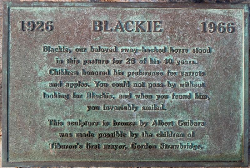
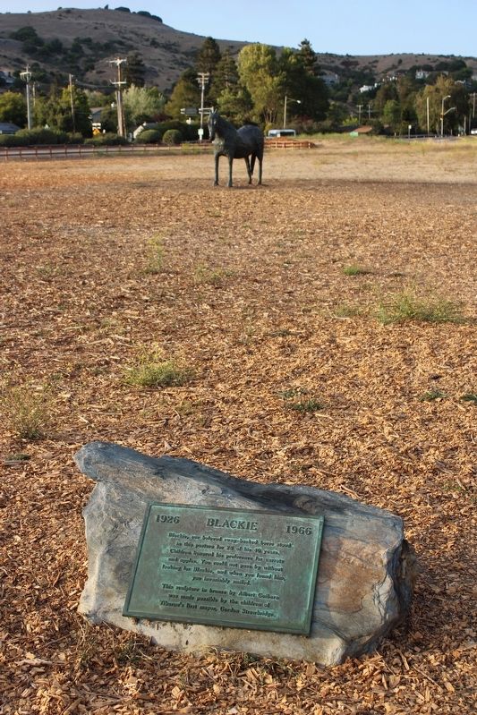
4. Blackie Plaque
Blackie, our beloved sway-backed horse stood in this pasture for 28 of his 40 years. Children honored his preference for carrots and apples. You could not pass by without looking for Blackie, and when you found him, you invariably smiled.
This sculpture in bronze by Albert Guibara was made possible by the children of Tiburon’s first mayor, Gordon Strawbridge.
Credits. This page was last revised on August 29, 2022. It was originally submitted on August 17, 2022, by Joseph Alvarado of Livermore, California. This page has been viewed 86 times since then and 12 times this year. Photos: 1, 2, 3, 4. submitted on August 17, 2022, by Joseph Alvarado of Livermore, California. • Syd Whittle was the editor who published this page.


