
Roosevelt Island in Manhattan in New York County, New York — The American Northeast (Mid-Atlantic)
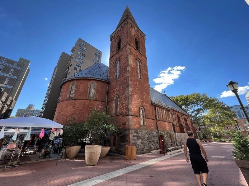
The Chapel of the Good Shepherd
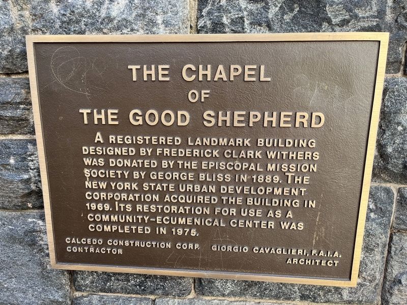
A registered landmark building designed by Frederick Clark Withers was donated by the Episcopal Mission Society by George Bliss in 1889. The New York State Urban Development Corporation acquired the building in 1969. Its restoration for use as a community-ecumenical center was completed in 1975.
Calcedo Construction Corp., Contractor
Giorgio Cavaglieri, F.A.I.A., Architect
Topics. This historical marker is listed in these topic lists: Architecture • Charity & Public Work • Landmarks • Religion & Religious Structures. A significant historical year for this entry is 1889.
Location. 40° 45.71′ N, 73° 57.002′ W. Marker is in Manhattan, New York, in New York County. It is on Roosevelt Island. It is on Main Street 0.1 miles north of West Road, on the left when traveling north. Touch for map. Marker is at or near this postal address: 543 Main St, New York NY 10044, United States of America. Touch for directions.

Regionally, this marker is in New York City. It is also in the American Northeast, in the Mid-Atlantic, and on the Eastern Seaboard. Globally, it is in the North Atlantic Region, North America,
this page online
Other nearby markers. At least 8 other markers are within walking distance of this marker: Roosevelt Island (about 400 feet away, measured in a direct line); Blackwell House (about 600 feet away); Roosevelt Island and the Blackwell House (about 600 feet away); Dr. Alice Childress (about 800 feet away); Queensboro Bridge Trolley Kiosk (approx. 0.4 miles away); Blackwell's Island (approx. 0.4 miles away); East River Roundabout (approx. 0.4 miles away); Designing for Nature (approx. 0.6 miles away). Touch for a list and map of all markers in Manhattan.
Another marker is no longer nearby. 24 Sycamores Playground (was approx. half a mile away but has been permanently removed).
Credits. This page was last revised on January 31, 2023. It was originally submitted on August 17, 2022, by Devry Becker Jones of Washington, District of Columbia. This page has been viewed 370 times since then and 14 times this year. Photos: 1, 2. submitted on August 17, 2022, by Devry Becker Jones of Washington, District of Columbia.
