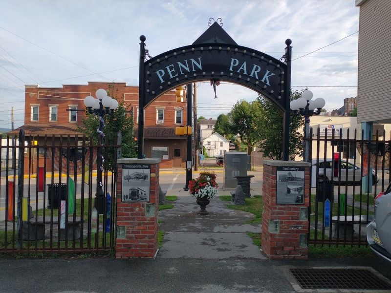
Mount Pleasant in Westmoreland County, Pennsylvania — The American Northeast (Mid-Atlantic)
Transportation
Erected by Mt. Pleasant Historical Society.
Topics. This historical marker is listed in these topic lists: Railroads & Streetcars • Roads & Vehicles. A significant historical year for this entry is 1913.
Location. 40° 8.879′ N, 79° 32.157′ W. Marker is in Mount Pleasant, Pennsylvania, in Westmoreland County. Marker is on West Main Street, on the right when traveling west. Touch for map. Marker is at or near this postal address: 100 W Main St, Mount Pleasant PA 15666, United States of America. Touch for directions.
Other nearby markers. At least 8 other markers are within walking distance of this marker. Arts & Culture (here, next to this marker); Industry (here, next to this marker); A History of Glass (here, next to this marker); The Story of Penn Park (a few steps from this marker); Saint Joseph Church Bell (approx. 0.3 miles away); Mount Pleasant Veterans Wall (approx. 0.3 miles away); Joseph Potocki PFC (approx. 0.3 miles away); Battle of Midway - Battle Of Iwo Jima - Uncomon Valor (approx. 0.3 miles away). Touch for a list and map of all markers in Mount Pleasant.
Credits. This page was last revised on August 21, 2022. It was originally submitted on August 19, 2022, by Craig Doda of Napoleon, Ohio. This page has been viewed 60 times since then and 7 times this year. Photos: 1, 2. submitted on August 19, 2022, by Craig Doda of Napoleon, Ohio. • Bill Pfingsten was the editor who published this page.

