Beaver in Beaver County, Pennsylvania — The American Northeast (Mid-Atlantic)
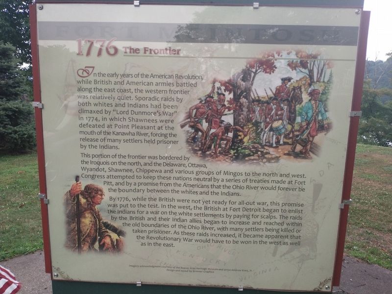
Fort McIntosh 1776 The Frontier
This portion of the frontier was bordered by the Iroquois on the north, and the Delaware, Ottawa, Wyandot, Shawnee, Chippewa and various groups of Mingos to the north and west. Congress attempted to keep these nations neutral by a series of treaties made at Fort Pitt, and by a promise from the Americans that the Ohio River would forever be the boundary between the whites and the Indians.
By 1776, while the British were not yet ready for all-out war, this promise was put to the test. In the west, the British at Fort Detroit began to enlist the Indians for a war on the white settlements by paying for scalps. The raids by the British and their Indian allies began to increase and reached within the old boundaries of the Ohio River, with many settlers being killed or taken prisoner. As these raids increased, it became apparent that the Revolutionary War would have to be won in the west as well as in the east.
Erected by Beaver Area Heritage Museum.
Topics. This historical marker is listed in this topic list: Forts and Castles. A significant historical year for this entry is 1774.
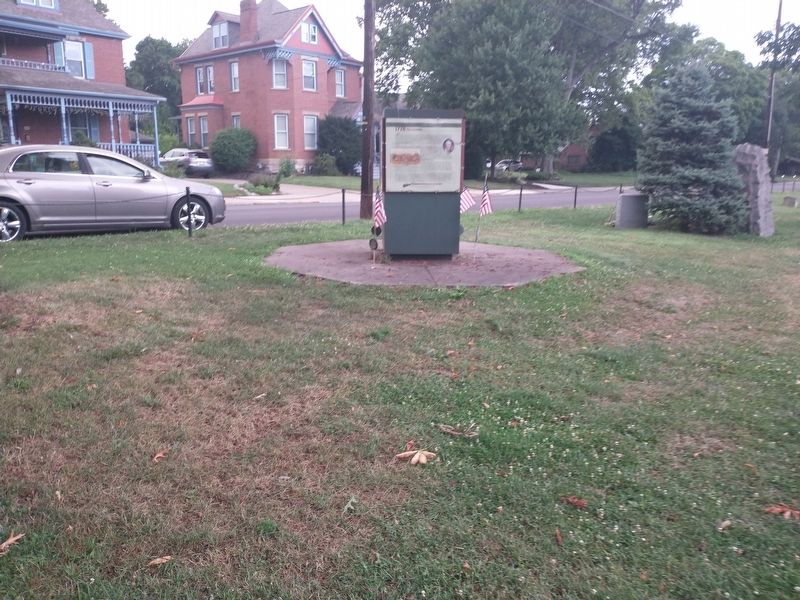
Location. 40° 41.461′ N, 80° 18.244′ W. Marker is in Beaver, Pennsylvania, in Beaver County. Marker is on River Road, on the right when traveling east. Touch for map. Marker is at or near this postal address: 758 River Rd, Beaver PA 15009, United States of America. Touch for directions.
Other nearby markers. At least 8 other markers are within walking distance of this marker. Fort McIntosh 1784-1785 The First American Regiment and The Treaty of Fort McIntosh (here, next to this marker); Commanding Officers (a few steps from this marker); Fort McIntosh 1778 The Campaign (a few steps from this marker); Fort McIntosh 1978 The Site Restoration (a few steps from this marker); Fort McIntosh (a few steps from this marker); General Lachlan McIntosh (a few steps from this marker); a different marker also named Fort McIntosh (within shouting distance of this marker); a different marker also named Fort McIntosh (within shouting distance of this marker). Touch for a list and map of all markers in Beaver.
Also see . . . Beaver Area Heritage Museum. (Submitted on August 19, 2022, by Craig Doda of Napoleon, Ohio.)
Credits. This page was last revised on August 23, 2022. It was originally submitted on August 19, 2022, by Craig Doda of Napoleon, Ohio. This page has been viewed 93 times since then and 14 times this year. Photos: 1, 2. submitted on August 19, 2022, by Craig Doda of Napoleon, Ohio. • Bill Pfingsten was the editor who published this page.

