
Anaheim in Orange County, California — The American West (Pacific Coastal)
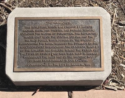
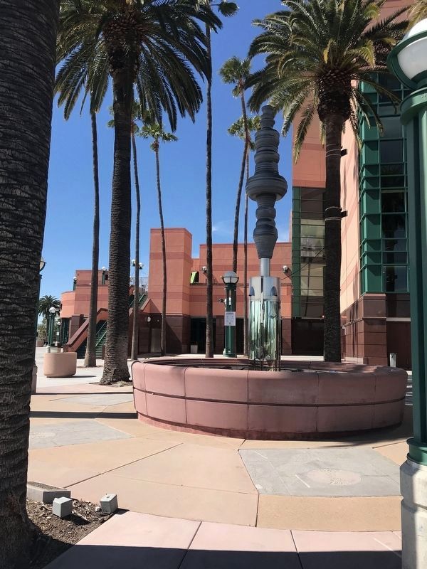
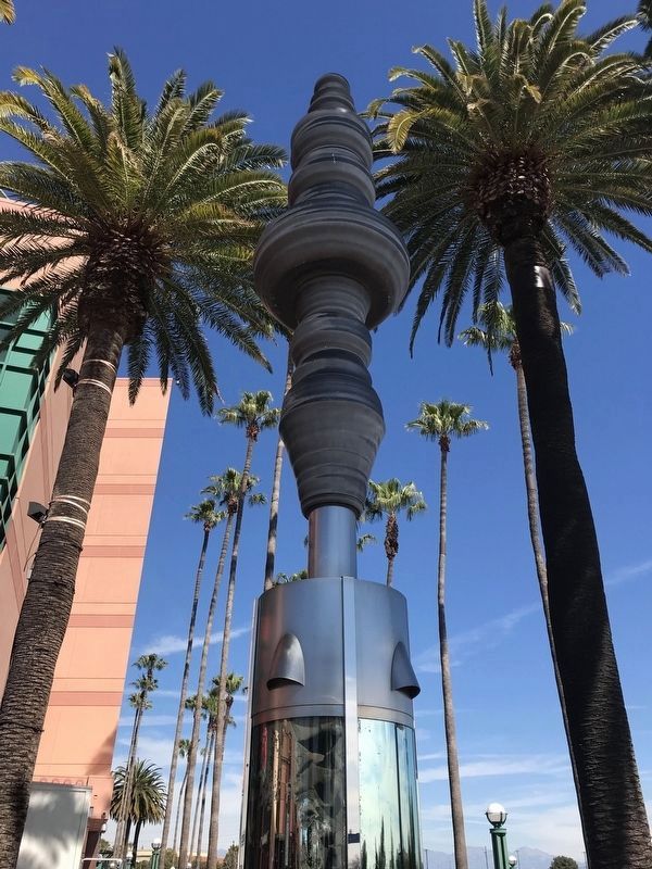
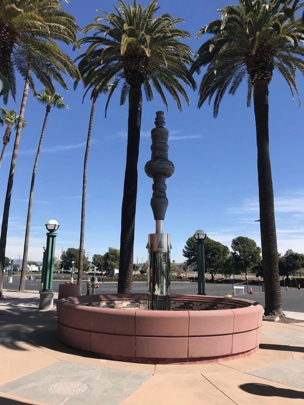
The Anamorph
Photographed by Adam Margolis, February 27, 2022
1. The Anamorph Marker
Commissioned by the city of Anaheim, 1995
Erected 1995 by City of Anaheim.
Topics. This historical marker is listed in this topic list: Arts, Letters, Music.
Location. 33° 48.442′ N, 117° 52.548′ W. Marker is in Anaheim, California, in Orange County. It can be reached from Katella Avenue near Douglass Road. The marker is located on the grounds of the Honda Center, to the right of the entrance. Touch for map. Marker is at or near this postal address: 2695 E Katella Ave, Anaheim CA 92806, United States of America. Touch for directions.

Regionally, this marker is in
this page online
Other nearby markers. At least 8 other markers are within 2 miles of this marker, measured as the crow flies: Santa Ana River Area History (about 600 feet away, measured in a direct line); Gene Autry (approx. 0.7 miles away); Michelle Carew Community Courtyard (approx. 0.7 miles away); This Big Saw (approx. 1.3 miles away); John C. Fremont Camp (approx. 1.3 miles away); Great Western Cordage (approx. 1½ miles away); Orange's First Public Schoohouse (approx. 1.6 miles away); California Wire Company (approx. 1.6 miles away). Touch for a list and map of all markers in Anaheim.
Photographed by Adam Margolis, February 27, 2022
2. The Anamorph Marker and Sculpture
Photographed by Adam Margolis, February 27, 2022
3. The Anamorph Sculpture
Photographed by Adam Margolis, February 27, 2022
4. The Anamorph Sculpture
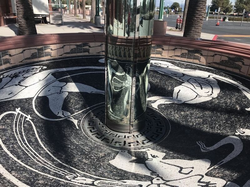
Photographed by Adam Margolis, February 27, 2022
5. The Anamorph Sculpture
Credits. This page was last revised on December 28, 2022. It was originally submitted on August 19, 2022, by Adam Margolis of Mission Viejo, California. This page has been viewed 632 times since then and 28 times this year. Photos: 1, 2, 3, 4, 5. submitted on August 19, 2022, by Adam Margolis of Mission Viejo, California. • Syd Whittle was the editor who published this page.
