Two Harbors in Lake County, Minnesota — The American Midwest (Upper Plains)
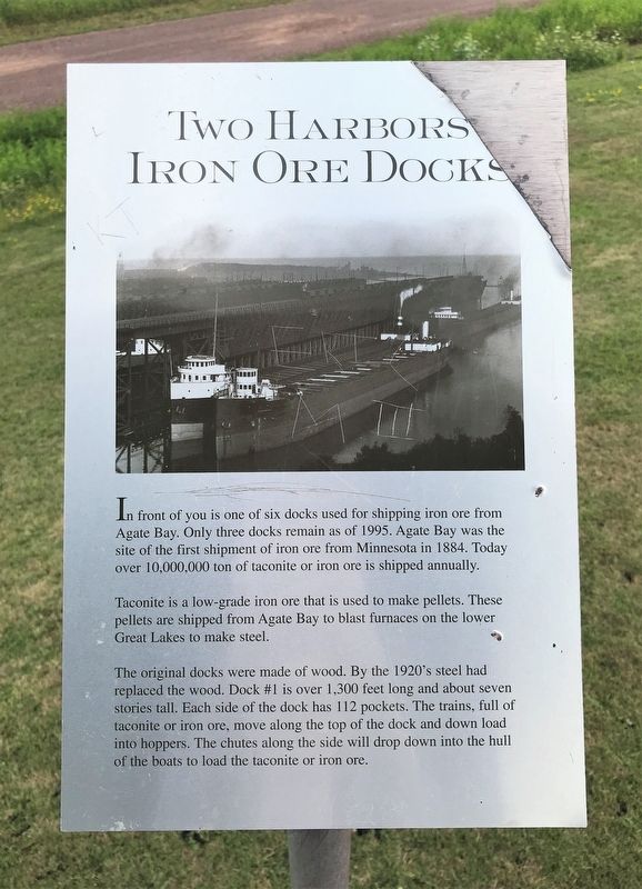
Two Harbors Iron Ore Docks
Taconite is a low-grade iron ore that is used to make pellets. These pellets are shipped from Agate Bay to blast furnaces on the lower Great Lakes to make steel.
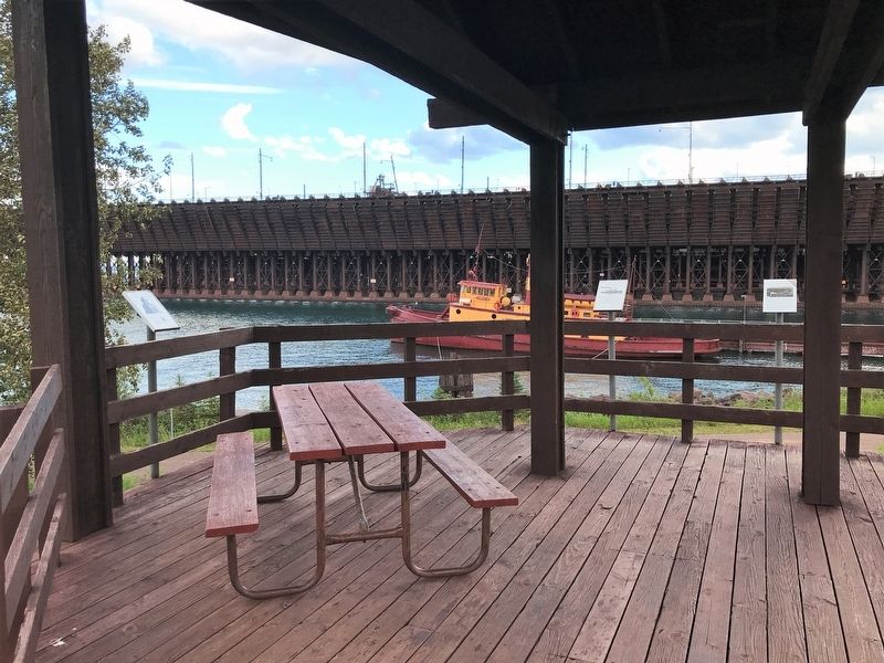
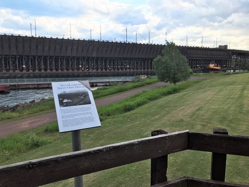
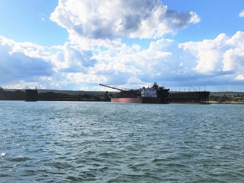
The original docks were made of wood. By the 1920's steel had replaced the wood. Dock #1 is over 1,300 feet long and about seven stories tall. Each side of the dock has 112 pockets. The trains, full of taconite or iron ore, move along the top of the dock and down load into hoppers. The chutes along the side will drop down into the hull of the boats to load the taconite or iron ore.
Topics. This historical marker is listed in these topic lists: Industry & Commerce • Waterways & Vessels. A significant historical year for this entry is 1884.
Location. 47° 1.045′ N, 91° 40.345′ W. Marker is in Two Harbors, Minnesota, in Lake County. Marker can be reached from Waterfront Drive, 0.1 miles south of South Avenue, on the left when traveling west. Located in Paul H. Van Hoven Park in Two Harbors. Touch for map. Marker is in this post office area: Two Harbors MN 55616, United States of America. Touch for directions.
Other nearby markers. At least 8 other markers are within walking distance of this marker. Edna G. (here, next to this marker); Agate Bay Light Station (here, next to this marker); Welcome to Paul H. Van Hoven Park (within shouting distance of this marker); Duluth Missabe & Iron Range Yellowstone Mallet #229 (about 600 feet away, measured in a direct line); Duluth and Iron Range Railroad Locomotive #3 (about 700 feet away); Ore Car #251, 1884 & Bobber Caboose #22 (#52), 1893 (about 700 feet away); First Ore Taken From A Minnesota Mine (about 700 feet away); a different marker also named First Ore Taken From A Minnesota Mine (about 700 feet away). Touch for a list and map of all markers in Two Harbors.
Credits. This page was last revised on August 20, 2022. It was originally submitted on August 20, 2022. This page has been viewed 256 times since then and 51 times this year. Photos: 1, 2, 3, 4. submitted on August 20, 2022.


