Fairfield in Fairfield County, Connecticut — The American Northeast (New England)
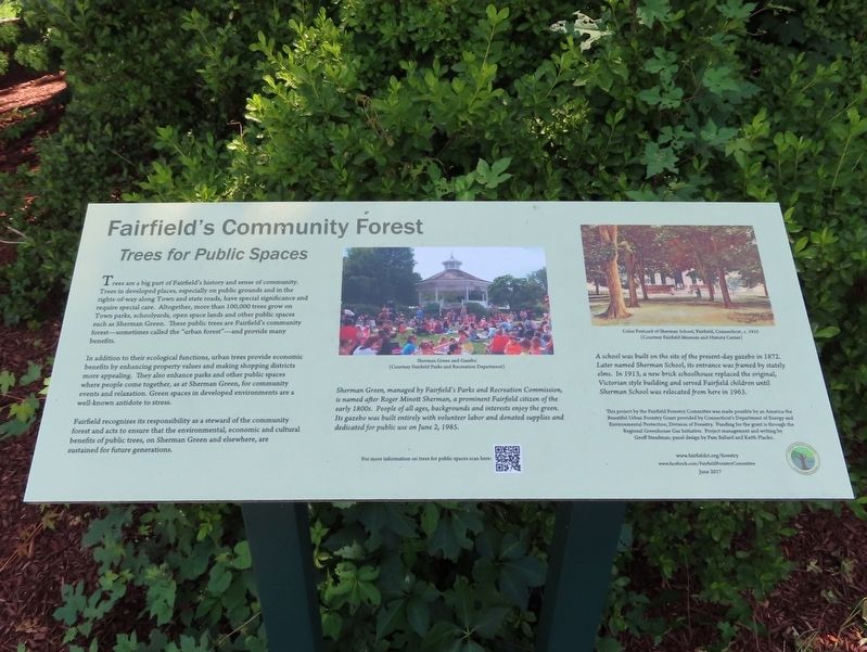
Fairfield’s Community Forest
Trees for Public Spaces
Trees are a big part of Fairfield's history and sense of community. Trees in developed places, especially on public grounds and in the rights-of-way along Town and state roads, have special significance and require special care. Altogether, more than 100,000 trees grow on Town parks, schoolyards, open space lands and other public spaces such as Sherman Green. These public trees are Fairfield's community forest-sometimes called the "urban forest”—and provide many benefits.
In addition to their ecological functions, urban trees provide economic benefits by enhancing property values and making shopping districts more appealing. They also enhance parks and other public spaces where people come together, as at Sherman Green, for community events and relaxation. Green spaces in developed environments are a well-known antidote to stress.
Fairfield recognizes its responsibility as a steward of the community forest and acts to ensure that the environmental, economic and cultural benefits of public trees, on Sherman Green and elsewhere, are sustained for future generations.
Sherman Green, managed by Fairfield's Parks and Recreation Commission, is named after Roger Minott Sherman, a prominent Fairfield citizen of the early 1800s. People of all ages, backgrounds and interests enjoy the green. Its gazebo was built entirely with volunteer labor and donated supplies and dedicated for public use on June 2, 1985.
A school was built on the site of the present-day gazebo in 1872. Later named Sherman School, its entrance was framed by stately elms. In 1913, a new brick schoolhouse replaced the original, Victorian style building and served Fairfield children until Sherman School was relocated from here in 1963.
This project by the Fairfield Forestry Committee was made possible by an America the Beautiful Urban Forestry Grant provided by Connecticut's Department of Energy and Environmental Protection, Division of Forestry. Funding for the grant is through the Regional Greenhouse Gas Initiative. Project management and writing by Geoff Steadman; panel design by Pam Ballard and Keith Placko. www.fairfieldct.org/forestry www.facebook.com/FairfieldForestryCommittee June 2017
( photo captions )
— Sherman Green and Gazebo (Courtesy Fairfield Parks and Recreation Department)
— Color Postcard of Sherman School, Fairfield, Connecticut, c. 1910 (Courtesy Fairfield Museum and History Center)
Erected 2017 by Fairfield Forestry Committee.
Topics. This historical marker is listed in these topic lists: Environment • Horticulture & Forestry. A significant historical date for this entry is June 2, 1985.
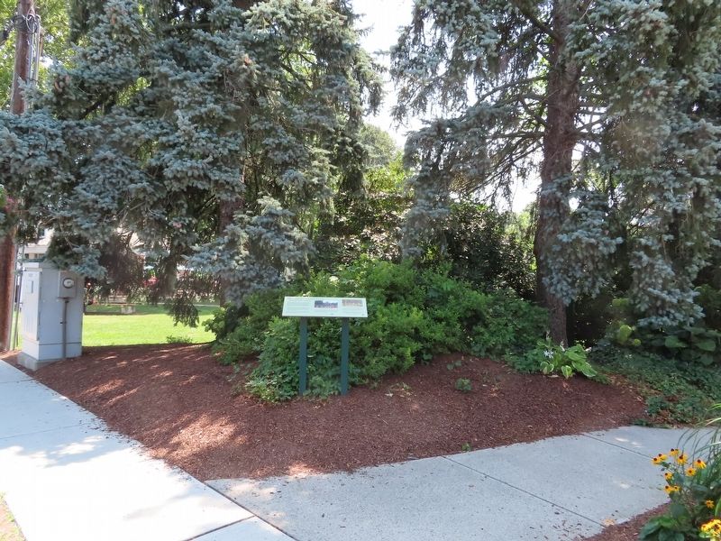
Location. 41° 8.46′ N, 73° 15.435′ W. Marker is in Fairfield, Connecticut, in Fairfield County. Marker is on Post Road (U.S. 1) near Reef Road, on the right when traveling east. Located at the Sherman Town Green. Touch for map. Marker is in this post office area: Fairfield CT 06824, United States of America. Touch for directions.
Other nearby markers. At least 8 other markers are within walking distance of this marker. Andrew Roland House (approx. 0.2 miles away); George Hull Home Lot (approx. ¼ mile away); Mabel Osgood Wright (approx. 0.3 miles away); Burr Arboretum (approx. 0.3 miles away); A House That Witnessed History (approx. 0.3 miles away); The Habitat Gardens at Birdcraft (approx. 0.3 miles away); Burr Homestead (approx. 0.3 miles away); a different marker also named Mabel Osgood Wright (approx. 0.3 miles away). Touch for a list and map of all markers in Fairfield.
Also see . . . Fairfield Forestry Committee – Town of Fairfield. (Submitted on August 20, 2022, by Michael Herrick of Southbury, Connecticut.)
Credits. This page was last revised on August 20, 2022. It was originally submitted on August 20, 2022, by Michael Herrick of Southbury, Connecticut. This page has been viewed 73 times since then and 14 times this year. Photos: 1, 2. submitted on August 20, 2022, by Michael Herrick of Southbury, Connecticut.

