
Ponchartrain Park in New Orleans in Orleans Parish, Louisiana — The American South (West South Central)
Pontchartrain Park Historic District
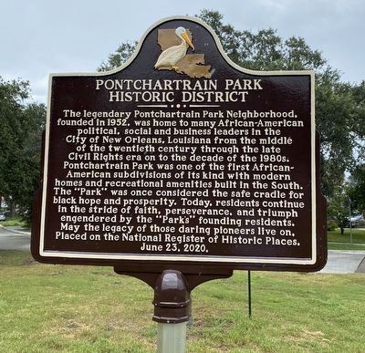
Photographed by Cajun Scrambler, August 20, 2022
1. Pontchrtrain Park Historic District Marker
The legendary Pontchartrain Park Neighborhood, founded in 1952, was home to many African-American political, social and business leaders in the City of New Orleans, Louisiana from the middle of the twentieth century through the late Civil Rights era on to the decade of the 1980s. Pontchartrain Park was one of the first African- American subdivisions of its kind with modern homes and recreational amenities built in the South. The "Park” was once considered the safe cradle for black hope and prosperity. Today, residents continue in the stride of faith, perseverance, and triumph engendered by the "Park's” founding residents. May the legacy of those daring pioneers live on. Placed on the National Register of Historic Places. June 23, 2020.
Erected 2022.
Topics. This historical marker is listed in these topic lists: Political Subdivisions • Settlements & Settlers. A significant historical date for this entry is June 23, 2020.
Location. 30° 1.071′ N, 90° 2.538′ W. Marker is in New Orleans, Louisiana, in Orleans Parish. It is in Ponchartrain Park. It is at the intersection of Press Drive and Prentiss Avenue, in
this page online

Regionally, this marker is in Louisiana’s River Parishes. It is also in the American South, specifically in the Deep South, on the Gulf Coast, and in the Great River Road Region. Globally, it is in North America, a Gulf of Mexico state, the Western Hemisphere, the Western World, and the Anglosphere. Historically, it finds itself in what was once New Spain, the Viceroyalty of New France, the territory of the Mississippian Culture, the Louisiana Purchase, one of the Confederate States of America, and the Antebellum South.
Other nearby markers. At least 8 other markers are within 3 miles of this marker, measured as the crow flies: In Memory of the First Barrow Stadium (approx. ¾ mile away); Centennial (approx. one mile away); Brothers Of The Sacred Heart (approx. 1½ miles away); London Avenue Canal Floodwall Breach (approx. 1.7 miles away); Henriette Delille (approx. 2.2 miles away); Fort St. John (approx. 2½ miles away); On These Grounds On November 14, 1960 (approx.
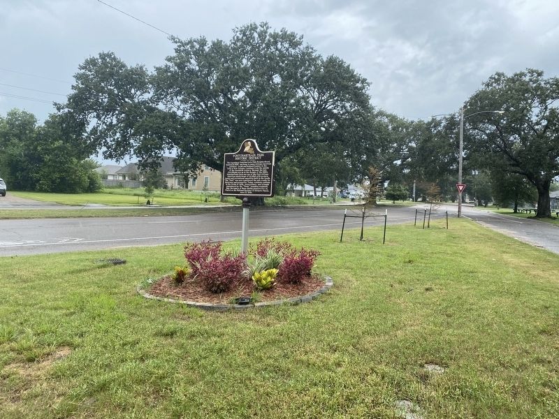
Photographed by Cajun Scrambler, August 20, 2022
2. Pontchrtrain Park Historic District Marker
Credits. This page was last revised on February 12, 2023. It was originally submitted on August 20, 2022, by Cajun Scrambler of Assumption, Louisiana. This page has been viewed 679 times since then and 34 times this year. Photos: 1, 2. submitted on August 20, 2022, by Cajun Scrambler of Assumption, Louisiana.
