Hanoverton in Columbiana County, Ohio — The American Midwest (Great Lakes)
10166 Plymouth Street
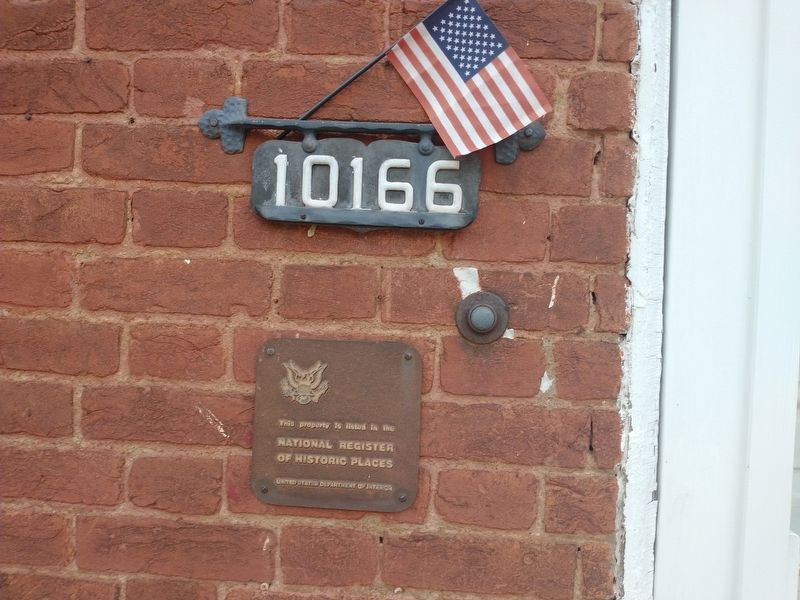
Photographed by Craig Doda, July 24, 2022
1. 10166 Plymouth Street Marker
National Register
of Historic Places
United States Department of the Interior
Topics. This historical marker is listed in this topic list: Architecture.
Location. 40° 45.209′ N, 80° 56.103′ W. Marker is in Hanoverton, Ohio, in Columbiana County. It is on Plymouth Street just north of Howard Street, on the right when traveling north. Touch for map. Marker is at or near this postal address: 10166 Plymouth St, Hanoverton OH 44423, United States of America. Touch for directions.

Regionally, this marker is in the Mahoning Valley. It is also in the American Midwest, in Appalachia, and specifically in Northern Appalachia. Globally, it is in North America, the Western Hemisphere, the Western World, and the Anglosphere. Historically, it finds itself in what was once the Viceroyalty of New France, the Haudenosaunee (Iroquois) Confederacy, the territory of the Mississippian Culture, and the Northwest Territory.
Other nearby markers. At least 8 other markers are within walking distance of this marker: Brick Row (a few steps from this
this page online
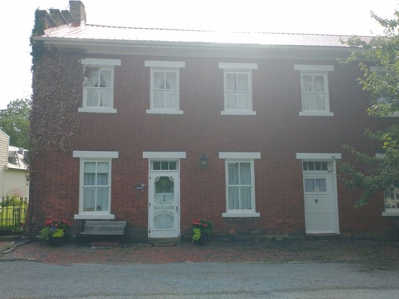
Photographed by Craig Doda, July 24, 2022
2. 10166 Plymouth Street Marker
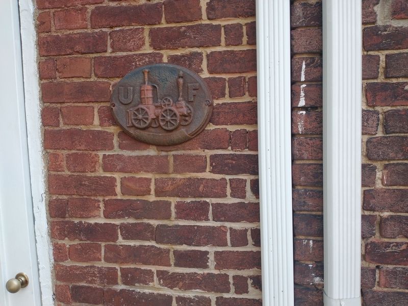
Photographed by Craig Doda, July 24, 2022
3. Fire Birgade Plaque
Credits. This page was last revised on January 11, 2025. It was originally submitted on August 21, 2022, by Craig Doda of Napoleon, Ohio. This page has been viewed 213 times since then and 18 times this year. Photos: 1, 2, 3. submitted on August 21, 2022, by Craig Doda of Napoleon, Ohio. • Devry Becker Jones was the editor who published this page.
