Fort Myer in Arlington in Arlington County, Virginia — The American South (Mid-Atlantic)
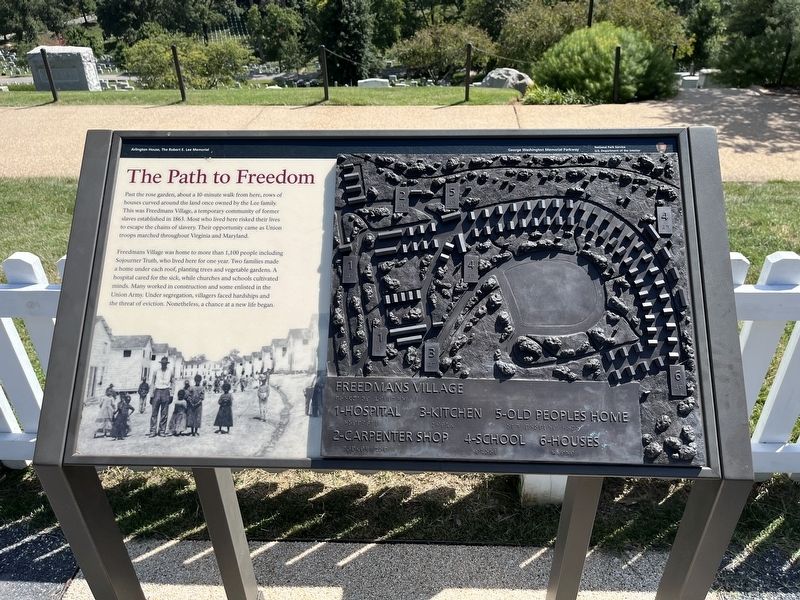
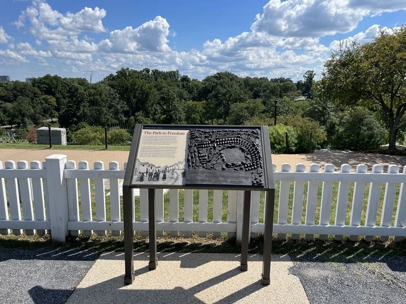
The Path to Freedom
Arlington House, The Robert E. Lee Memorial
— George Washington Memorial Parkway, National Park Service, U.S. Department of the Interior —
Past the rose garden, about a 10-minute walk from here, rows of houses curved around the land once owned by the Lee family. This was Freedmen's Village, a temporary community of former slaves established in 1863. Most who lived here risked their lives to escape the chains of slavery. Their opportunity came as Union troops marched throughout Virginia and Maryland.
Freedman's Village was home to more than 1,100 people including Sojourner Truth, who lived here for one year. Two families made a home under each roof, planting trees and vegetable gardens. A hospital cared for the sick, while churches and schools cultivated minds. Many worked in construction and some enlisted in the Union Army. Under segregation, villagers faced hardships and the threat of eviction. Nonetheless, a chance at a new life began.
Erected by National Park Service, U.S. Department of the Interior.
Topics. This historical marker is listed in these topic lists: African Americans • Settlements & Settlers • War, US Civil. A significant historical year for this entry is 1863.
Location. 38° 52.813′ N, 77° 4.368′ W. Marker is in Arlington, Virginia, in Arlington County. It is in Fort Myer. Marker can be reached from the intersection of Sherman Drive and Sheridan Drive, on the right when traveling north. Touch for map. Marker is at or near this postal address: 321 Sherman Dr, Fort Myer VA 22211, United States of America. Touch for directions.
Other nearby markers. At least 8 other markers are within walking distance of this marker. American Volunteer Group, China Air Task Force and the 14th Air Force (a few steps from this marker); Civil War Unknowns Monument (within shouting distance of this marker); Hallowed Ground (within shouting distance of this marker); Kingdom of my childhood (within shouting distance of this marker); Garden to Graves (within shouting distance of this marker); Division and Reunification (within shouting distance of this marker); A Place of Division and Reunification (within shouting distance of this marker); Trophy of War (within shouting distance of this marker). Touch for a list and map of all markers in Arlington.
Credits. This page was last revised on February 1, 2023. It was originally submitted on August 21, 2022, by Devry Becker Jones of Washington, District of Columbia. This page has been viewed 103 times since then and 14 times this year. Photos: 1, 2. submitted on August 21, 2022, by Devry Becker Jones of Washington, District of Columbia.

