Near Sandstone in Pine County, Minnesota — The American Midwest (Upper Plains)
Forming Blocks
Discover the Banning Quarry
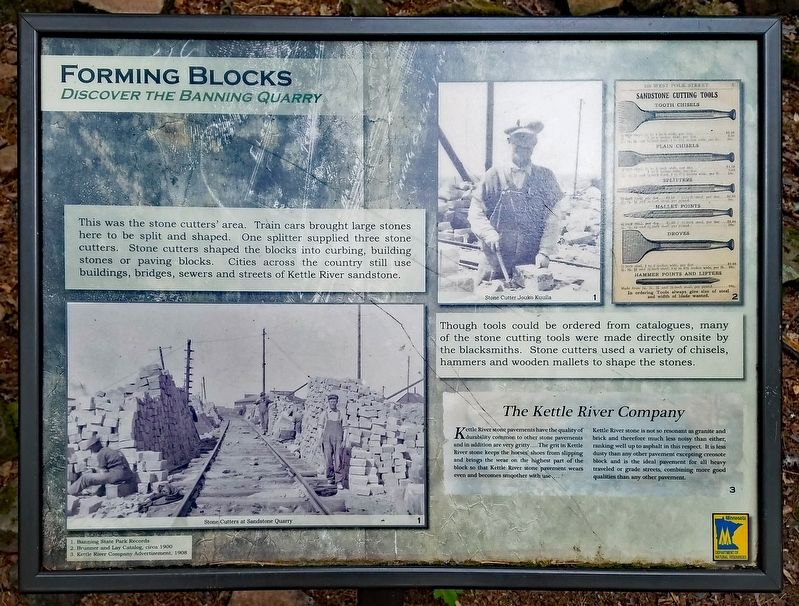
Though tools could be ordered from catalogues, many of the stone cutting tools were made directly onsite by the blacksmiths. Stone cutters used a variety of chisels, hammers and wooden mallets to shape the stones.
The Kettle River Company
Kettle River stone pavements have the quality of durability common to other stone pavements and in addition are very gritty... The grit in Kettle River stone keeps the horses' shoes from slipping and brings the wear on the highest part of the block so that Kettle River stone pavement wears even and becomes smoother with use...
Kettle River stone is not so resonant as granite and brick and therefore much less noisy than either, ranking well up to asphalt in this respect. It is less dusty than any other pavement excepting creosote block and is the ideal pavement for all heavy traveled or grade streets, combining more good qualities than any other pavement.
Erected by Minnesota Department of Natural Resources.
Topics. This historical marker is listed in these topic lists: Architecture • Industry & Commerce. A significant historical year for this entry is 1896.
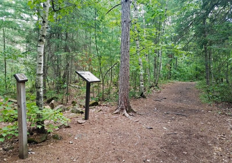
Location. 46° 9.371′ N, 92° 50.937′ W. Marker is near Sandstone, Minnesota, in Pine County. Marker can be reached from Banning Park Road. The marker is in Banning State Park (vehicle permit required). Marker is on the Quarry Loop Trail. Touch for map. Marker is at or near this postal address: 61101 Banning Park Road, Sandstone MN 55072, United States of America. Touch for directions.
Other nearby markers. At least 8 other markers are within 11 miles of this marker, measured as the crow flies. Sawing Slabs (about 700 feet away, measured in a direct line); Power (approx. ¼ mile away); Crushing Stone (approx. 0.3 miles away); A Railroad Industry (approx. 0.4 miles away); Sandstone Area Veterans Memorial (approx. 1.9 miles away); Lumbering in Minnesota (approx. 3.8 miles away); The Hinckley Fire (approx. 10.3 miles away); The Great Hinckley Fire (approx. 10.7 miles away). Touch for a list and map of all markers in Sandstone.
Credits. This page was last revised on August 26, 2022. It was originally submitted on August 21, 2022, by McGhiever of Minneapolis, Minnesota. This page has been viewed 157 times since then and 33 times this year. Photos: 1, 2. submitted on August 21, 2022, by McGhiever of Minneapolis, Minnesota. • Bill Pfingsten was the editor who published this page.

