Near West Point in Hardin County, Kentucky — The American South (East South Central)
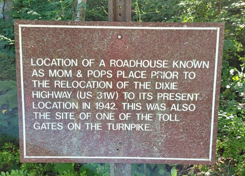
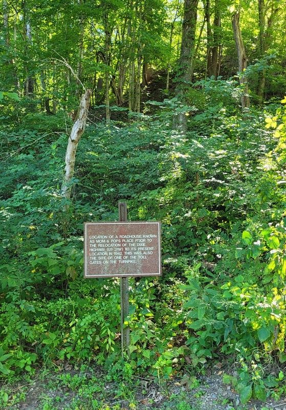
Mom & Pops Place
Topics. This historical marker is listed in these topic lists: Industry & Commerce • Roads & Vehicles. A significant historical year for this entry is 1942.
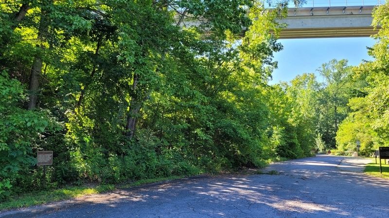
Location. 37° 58.123′ N, 85° 57.651′ W. Marker is near West Point, Kentucky, in Hardin County. Marker is at the intersection of Louisville-Nashville Turnpike and Railroad Trestle, on the left when traveling south on Louisville-Nashville Turnpike. The marker is located in a small park at the trailhead to the Tioga Falls Trail. Touch for map. Marker is in this post office area: West Point KY 40177, United States of America. Touch for directions.
Other nearby markers. At least 8 other markers are within 2 miles of this marker, measured as the crow flies. The Louisville and Nashville (L&N) Turnpike Corridor Segment (within shouting distance of this marker); Fort Knox, Kentucky (approx. 1.2 miles away); U.S Bullion Depository (approx. 1.2 miles away); Louisville, Henderson & St. Louis Bridge (approx. 1.8 miles away); Replica of Earthen Wall Cannon Emplacement (approx. 1.8 miles away); Fort Duffield (approx. 1.8 miles away); Redoubt (approx. 2 miles away); Civil War Fort Duffield (approx. 2 miles away). Touch for a list and map of all markers in West Point.
Click on the ad for more information.
Please report objectionable advertising to the Editor.
sectionhead>More about this marker. The marker is located at a parking area for the trailheads to the Tioga Falls and the Bridges to the Past trails.Please report objectionable advertising to the Editor.
Also see . . . Louisville and Nashville Turnpike. Wikipedia
During the latter half of the 19th century the turnpike fell into disrepair, and portions were gradually purchased by the counties through which they ran. In 1901, Jefferson County bought the remaining tolled part of the turnpike for $210,774.54 ($7,035,306.99 in 2022 dollars). Prior to the creation of the Federal United States Numbered Highway System, the portion of the Turnpike from Bowling Green to Louisville was designated as part of the Dixie Highway System. Then on November 11, 1926, the entirety of the old Turnpike's right-of-way were designated as US 31W and US 31E, parts of the pre-Interstate US Numbered Highway System, which has existed to this day.(Submitted on August 23, 2022, by James Hulse of Medina, Texas.)
Credits. This page was last revised on August 23, 2022. It was originally submitted on August 23, 2022, by James Hulse of Medina, Texas. This page has been viewed 81 times since then and 17 times this year. Photos: 1, 2, 3. submitted on August 23, 2022, by James Hulse of Medina, Texas.


