Lyme in Huron County, Ohio — The American Midwest (Great Lakes)
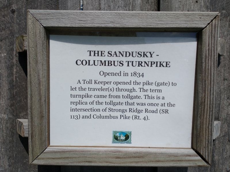
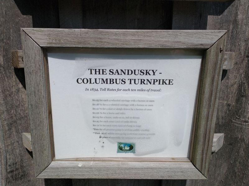
The Sandusky-Columbus Pike
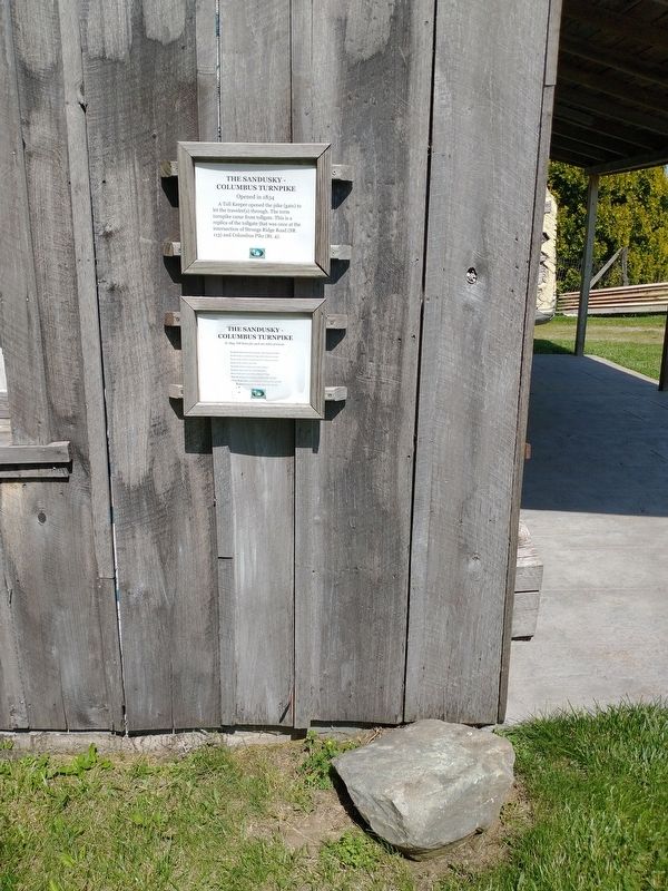
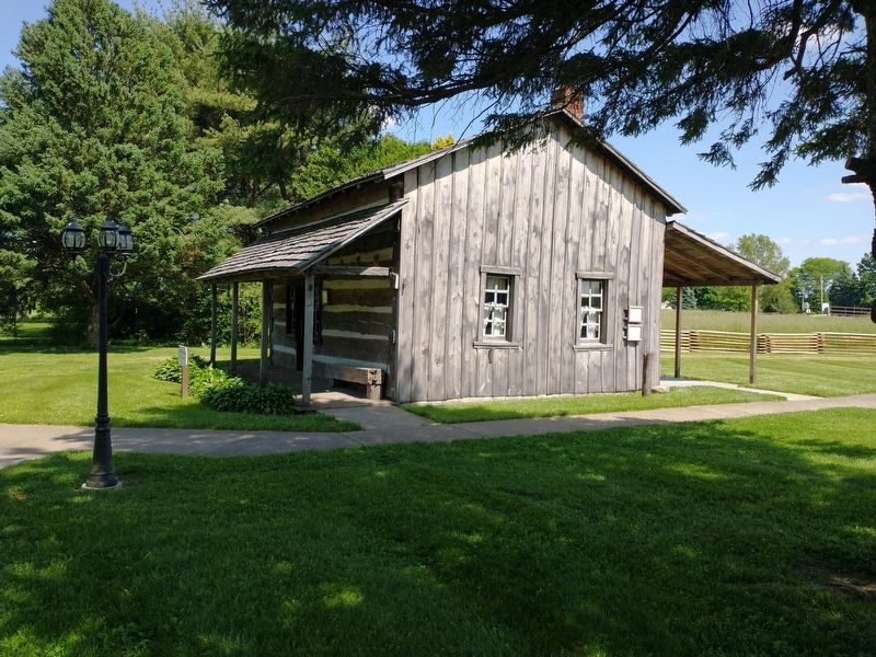
A Toll Keeper opened the pike (gate) to let the traveler(s) through. The term turnpike came from tollgate. This is a replica of the tollgate that was once at the intersection of Strongs Ridge Road (SR 113) and Columbus Pike (Rt. 4).
Topics. This historical marker is listed in this topic list: Roads & Vehicles. A significant historical year for this entry is 1834.
Location. 41° 16.842′ N, 82° 47.369′ W. Marker is in Lyme, Ohio, in Huron County. Marker is on Ohio 4 (Ohio Route 4), on the left when traveling north. Touch for map. Marker is at or near this postal address: 5001 OH-4, Bellevue OH 44811, United States of America. Touch for directions.
Other nearby markers. At least 8 other markers are within walking distance of this marker. Annie Brown Log House (a few steps from this marker); Schriner Log House (a few steps from this marker); Bishop John Seybert / Flat Rock Historic Cluster Shrine (within shouting distance of this marker); Detterman Log Church (within shouting distance of this marker); Grinding Stone (within shouting distance of this marker); Merry School (within shouting distance of this marker); Wagner Log House (Rose Tavern) (within shouting distance of this marker); The Underground Railroad In Lyme Township, Huron County / The Underground Railroad (within shouting distance of this marker). Touch for a list and map of all markers in Lyme.
Credits. This page was last revised on August 27, 2022. It was originally submitted on August 25, 2022, by Craig Doda of Napoleon, Ohio. This page has been viewed 87 times since then and 18 times this year. Photos: 1, 2, 3, 4. submitted on August 25, 2022, by Craig Doda of Napoleon, Ohio. • Bill Pfingsten was the editor who published this page.


