Florence in Florence County, South Carolina — The American South (South Atlantic)
Christ Episcopal Church
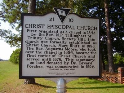
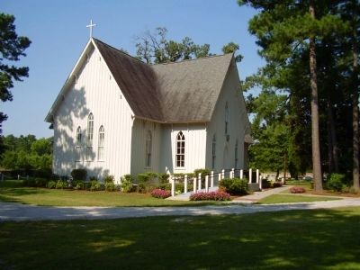
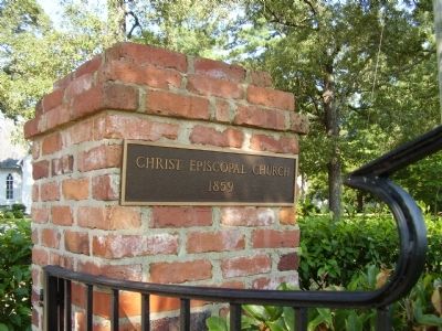
First organized as a chapel in 1843 by the Rev. N.P. Tillinghast of Trinity Church, Society Hill, this church was formally established as Christ Church, Mars Bluff, in 1856. The Rev. Augustus Moore, who took over the chapel in 1854, became the first rector of Christ Church and served until 1876. This sanctuary, on land donated by Dr. Edward Porcher, was consecrated in 1859.
Marker reverse:
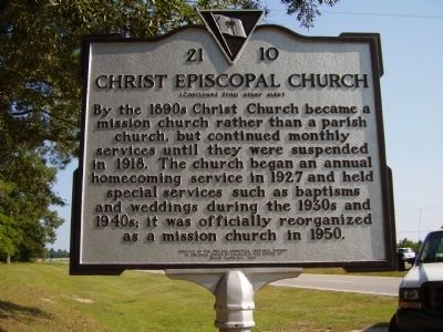
By the 1890s Christ Church became a mission church rather than a parish church, but continued monthly services until they were suspended in 1918. The church began an annual homecoming service in 1927 and held special services such as baptisms and weddings during the 1930s and 1940s; it was officially reorganized as a mission church in 1950.
Erected 1997 by TH Pee Dee Dommittee,National Society of Colonial Dames of America in the Stateof South Carolina. (Marker Number 21 10.)
Topics and series. This historical marker is listed in this topic list: Churches & Religion. In addition, it is included in the The Colonial Dames of America, National Society of series list. A significant historical year for this entry is 1843.
Location. 34° 14.555′ N, 79° 41.532′ W. Marker is in Florence, South Carolina, in Florence County. Marker is on N Williston Road (State Highway 327). Touch for map. Marker is in this post office area: Florence SC 29506, United States of America. Touch for directions.
Other nearby markers. At least 8 other markers are within 4 miles of this marker, measured as the crow flies. Roseville Plantation (approx. 2˝ miles away); Ney School / Back Swamp School (approx. 2.6 miles away); William R. Johnson House / The Columns (approx. 2.7 miles away); Roseville Plantation Slave And Freedman's Cemetery / Clarke Cemetery (approx. 2.8 miles away); American Legion Post #1 / 2nd Lieutenant Fred H. Sexton (approx. 3.2 miles away); Mars Bluff (approx. 3.3 miles away); Atomic Bomb Accident at Mars Bluff, March 11, 1958 (approx. 3.6 miles away); Gregg-Wallace Farm Tenant House (approx. 3.6 miles away). Touch for a list and map of all markers in Florence.
Credits. This page was last revised on June 16, 2016. It was originally submitted on July 3, 2009, by Stanley and Terrie Howard of Greer, South Carolina. This page has been viewed 1,154 times since then and 32 times this year. Photos: 1, 2, 3, 4, 5. submitted on July 3, 2009, by Stanley and Terrie Howard of Greer, South Carolina. • Kevin W. was the editor who published this page.
